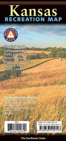
The Kansas Recreation Map is the first map product to showcase the true richness of the Sunflower State's recreational potential. The front of the map is a comprehensive state map featuring public lands, highway details, point-to-point mileage, recreational attractions, campgrounds, parks and wildlife areas, boating and fishing access points, and public hunting areas. The back features categorized recreation listings with helpful descriptions, current contact information, and map grid references.
Scale 1:633,333 (1 cm = 6.33 km).


