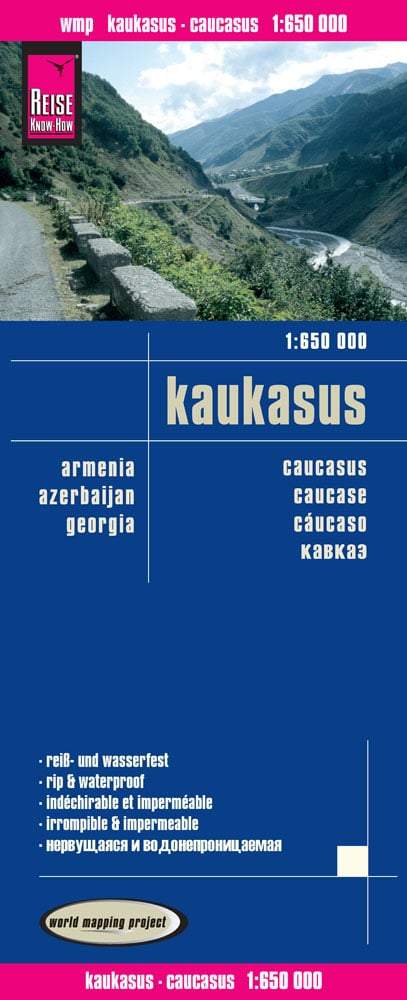
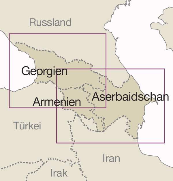
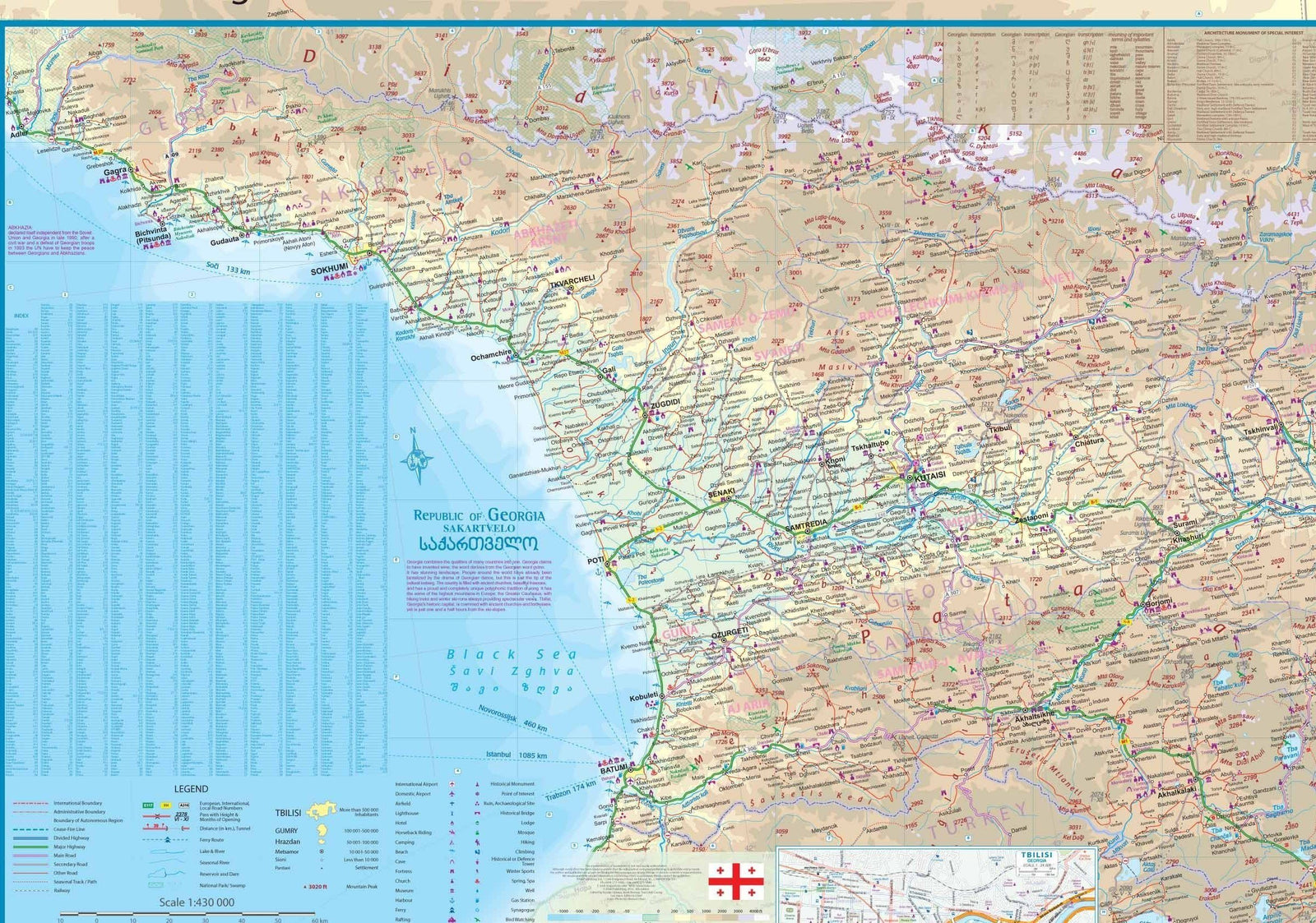
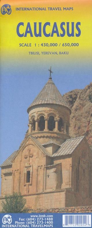
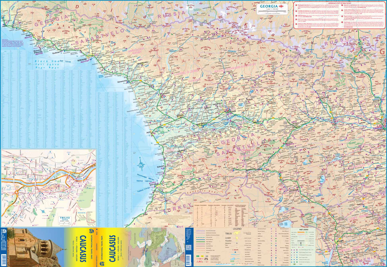
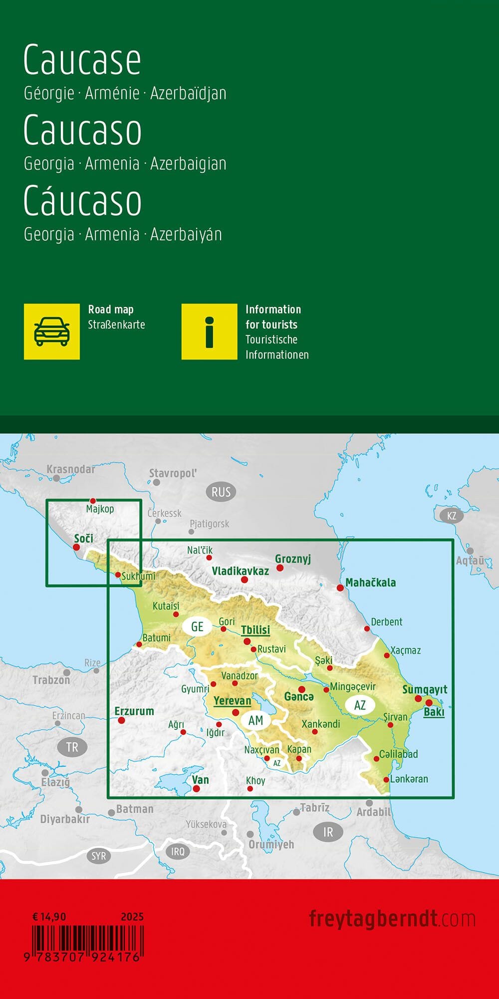
This double-sided road map covers Armenia , Azerbaijan , and a large part of Georgia , including Tbilisi. It also includes the entire Nagorno-Karabakh region . Relief is shown as elevation gradients (in feet), with peak elevations indicated in meters. Mountain passes are marked with the months during which they are passable . Swampy areas are indicated, as are national parks and protected areas .
🛣️ The road and rail network is detailed, including some seasonal tracks . Local airports are also indicated.
📍 Points of interest are represented by symbols: historical sites, beaches, winter sports areas , etc.
🗺️ All place names are indicated only in the Latin alphabet .
📚 Each country has its own separate index .
🏙️ City maps for the centers of Yerevan (Armenia) and Baku (Azerbaijan) show the main streets and points of interest (including some foreign embassies).
🌍 An inset map shows the distribution of ethnic groups in the region.
Ideal for travellers, geopolitics enthusiasts or Caucasus aficionados.


