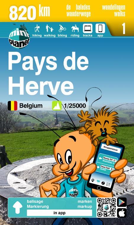
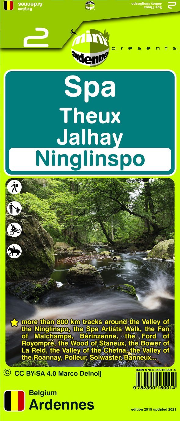
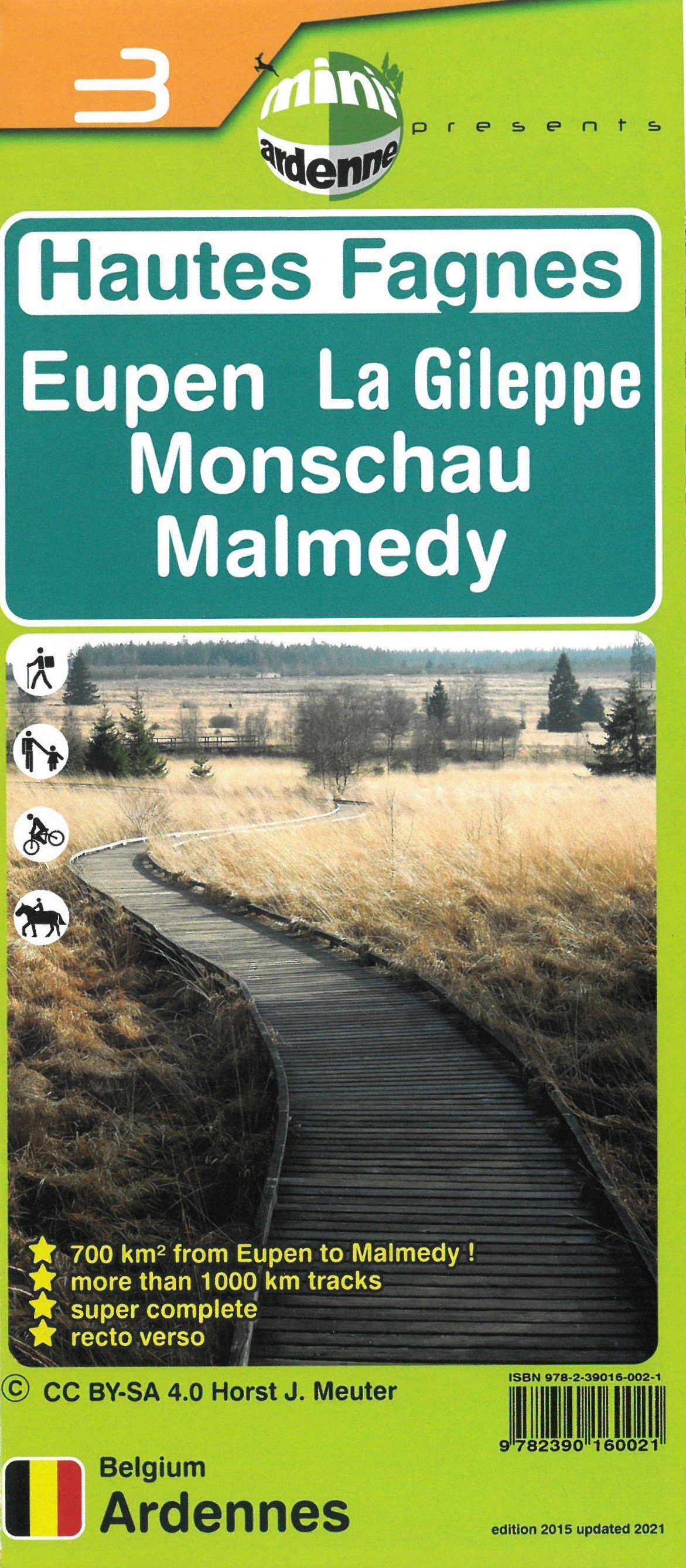
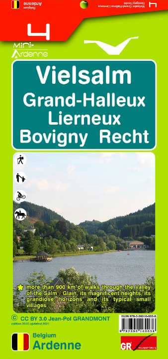
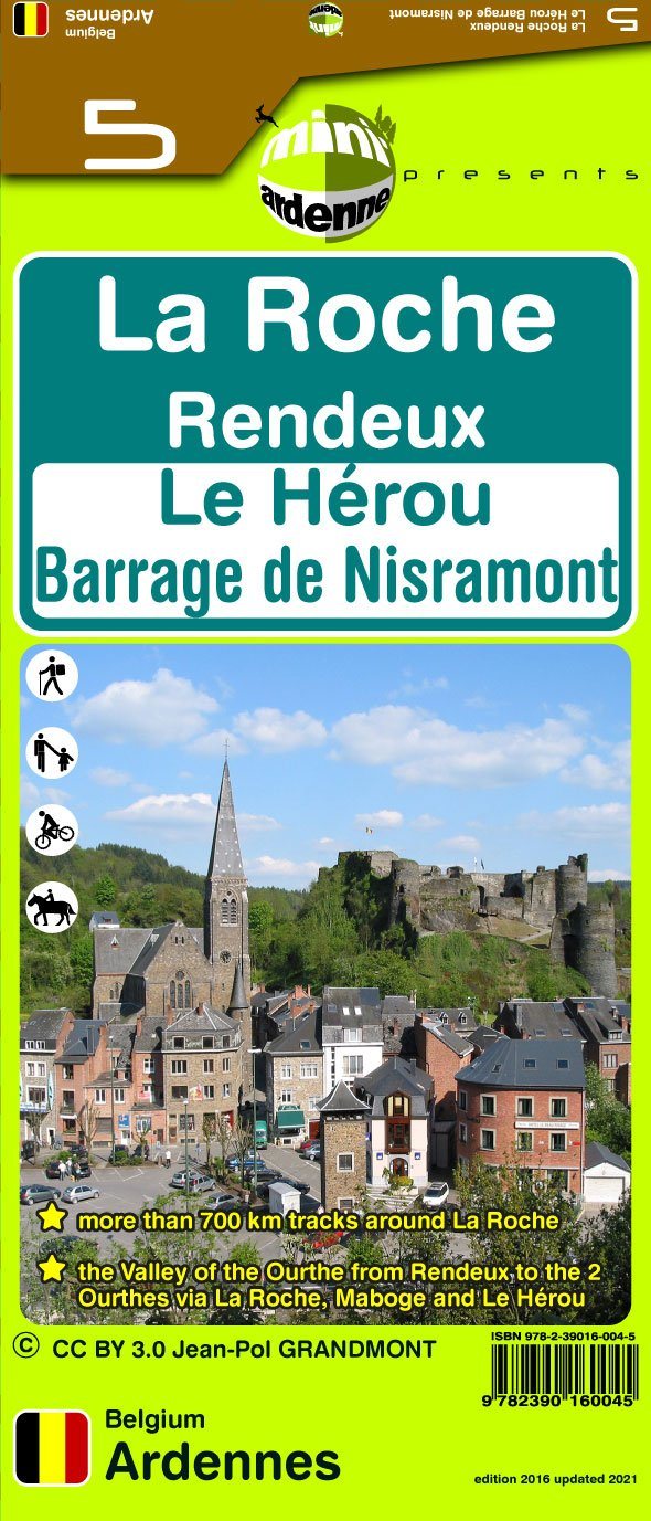
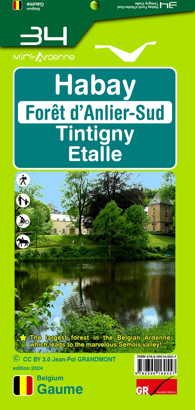
Hiking map No. 34 - Habay, Anlier-Sud Forest, Tintigny, Etalle | Mini Planet
- Shipping within 24 working hours from our warehouse in France
- Shipping method and fees are shown at checkout
- Free returns (*)
- Real-time stock levels
- In stock, ready to ship
Over 19,500 maps 🗺️ and travel guides, hiking maps, posters, globes, and décor items in stock!
Rated Excellent ⭐️ on Trustpilot — 9,000+ reviews from explorers and map lovers worldwide.
Explore the world, one map at a time 🗺️
The Mini-Ardenne map is a practical and clear hiking map at a scale of 1:25,000 of part of the Ardennes, namely Habay, Forêt d'Anlier-Sud, Tintigny, Etalle.
Thanks to the use of junctions and small and large hiking loops, these maps are suitable for beginners as well as experienced hikers, cyclists and horse riders.
Tourist attractions, campsites and places of interest such as restaurants, playgrounds, etc. are also indicated. Relief and contour lines with an interval of 5 meters.
Distance in kilometers for each section (between two nodes) to calculate the total length of the route.
The legend and texts are in four languages (Dutch, French, English and German).
Includes QR codes that link to the website: www.mini-ardenne.be where all the attractions of the respective city are listed.
ISBN/EAN : 9782390160557
Publication date: 2024
Scale: 1/25,000 (1cm=250m)
Folded dimensions: 17x10cm
Unfolded dimensions: 100 x 50cm
Language(s): French English
Weight:
82 g
The exclusive newsletter for travel and discovery enthusiasts!