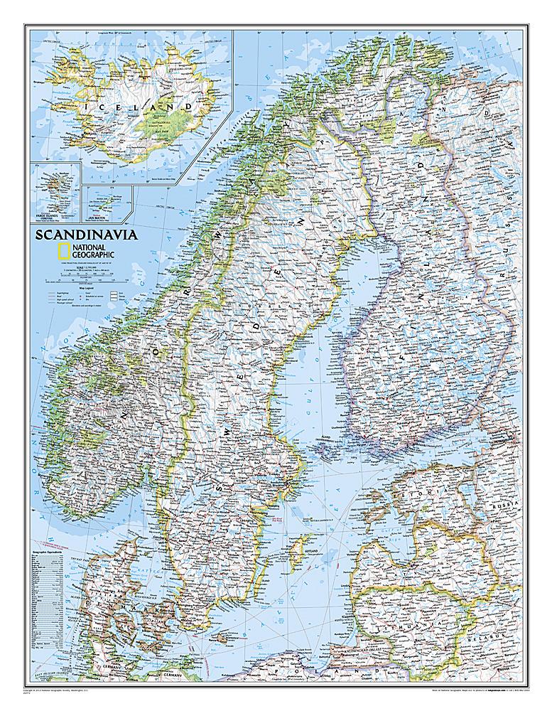
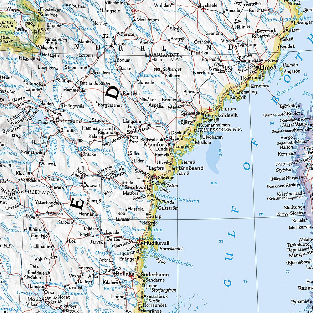
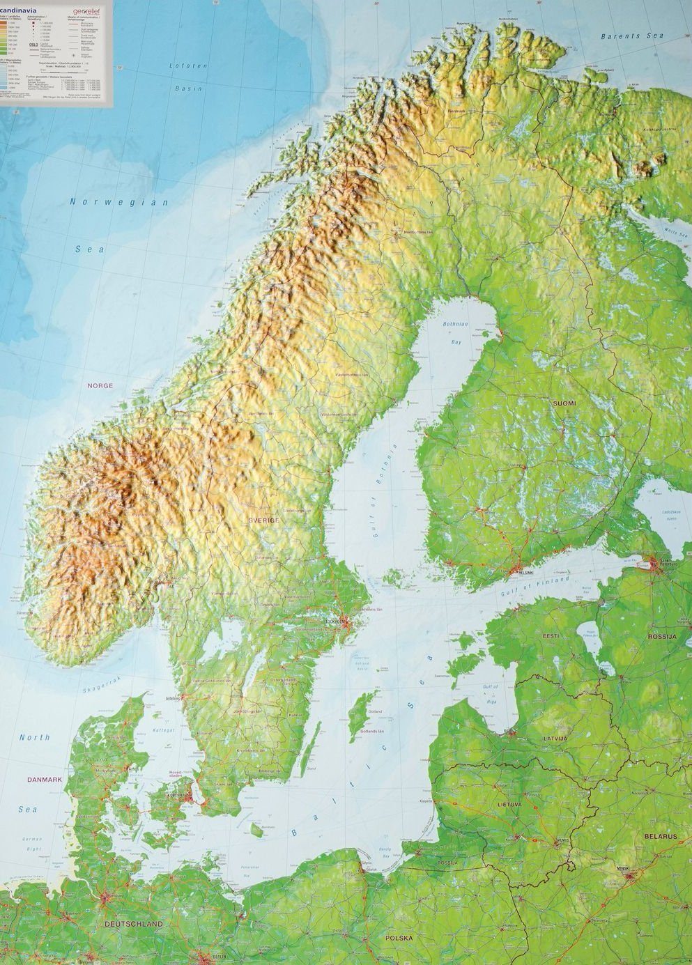
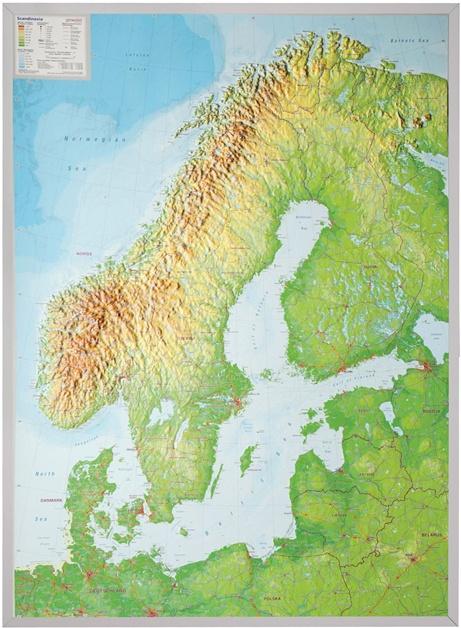
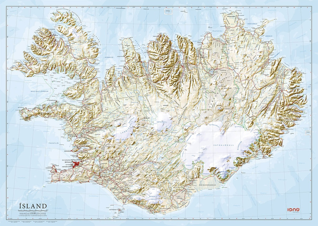
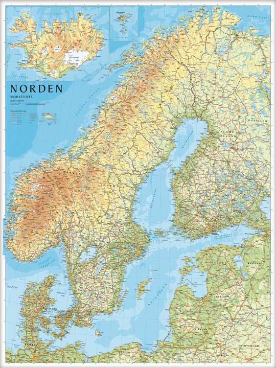
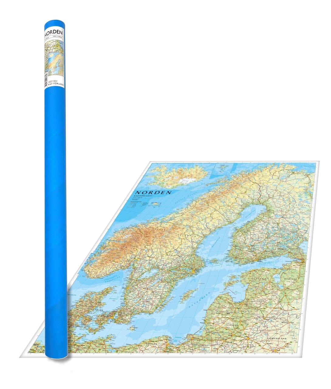
Wall map - Scandinavia - 77 x 60 cm | National Geographic

Finishing
Price
Regular price 31100 kr
Regular price Sale price 31100 kr
/
  • Expédition sous 24 h ouvrées depuis notre entrepôt en France (sauf modèles plastifiés)
  • Frais de livraison calculés instantanément dans le panier
  • Stocks en temps réel
  • In stock, ready to ship
  • Backordered, shipping soon
Tax included.

Souvent achetés ensemble :

The Wall map of National Geographic Scandinavia is one of the largest and most detailed maps of the region. Classic style design uses a clear and easy - to - read color palette. This map presents the premises, precise political boundaries, national parks and major infrastructure networks such as roads, highways, airports, canals, ferries and high - speed trains. The varied relief of the region is detailed thanks to a precise shaded relief, and the symbolism of the characteristics of water and other forms of land. The elevations of the main peaks and deep polls are expressed in meters. Inserts provide details on Iceland, the Faroe Islands and Jan Mayen. In addition to Norway, Sweden and Finland, Denmark, Lithuania, Latvia, Estonia and Kaliningrad Oblast are covered. Delivered in a laminated protection tube.
Available in paper version or laminatedized.

Note: For the laminated map, an additional time of a few days may be necessary for laminating.


Date de publication : 2019
Echelle : 1/2 760 000 (1 cm = 27.6 km)
Impression: front
Dimensions déplié(e) : 77 x 60cm
Langue : English