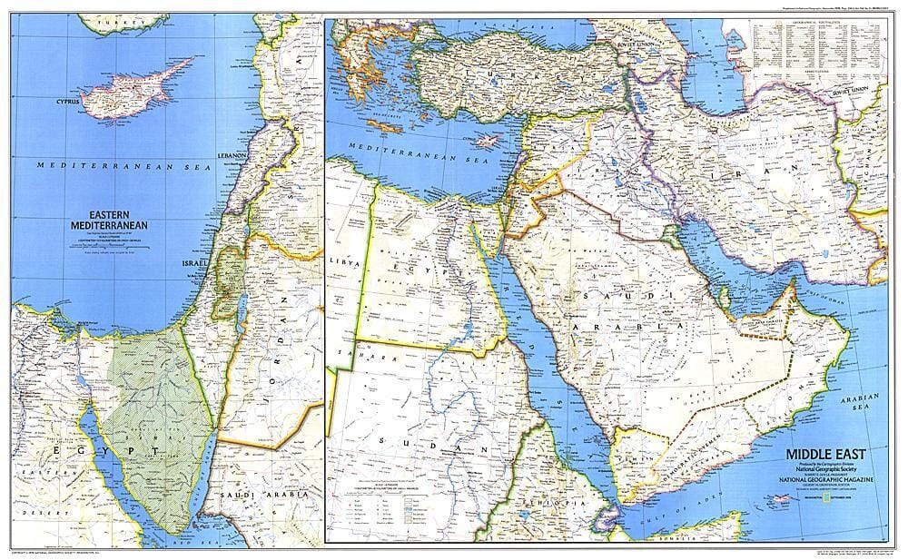
1978 Carte du Moyen-Orient carte murale roulée (en tube) National Geographic Historic POD Default Title

1978 Map of the Middle East

Price
Regular price 43100 kr
Regular price Sale price 43100 kr
/
  • Shipping within 48 business hours from our warehouse in the USA. For this product, customs fees may be requested by the carrier upon delivery.
  • Shipping method and fees are shown at checkout
  • Free returns (*)
  • Real-time stock levels
  • In stock, ready to ship
  • Backordered, shipping soon
Tax included.

Frequently bought together:

When this map of the Middle East was created, Israel had occupied the West Bank, the Sinai Peninsula, and the Golan Heights for over ten years. Six months later, following the signing of the Israeli-Egyptian Peace Treaty, Israel withdrew from the Sinai Peninsula and evacuated the settlements it had established there during the 1970s. Published in September 1978 as an accompaniment to the landmark map "Early Civilizations of the Middle East"

.


ISBN/EAN : 2321320M
Publication date: 1978
Unfolded dimensions: 37in / 22.75in
Language(s): English
Weight: 200 g