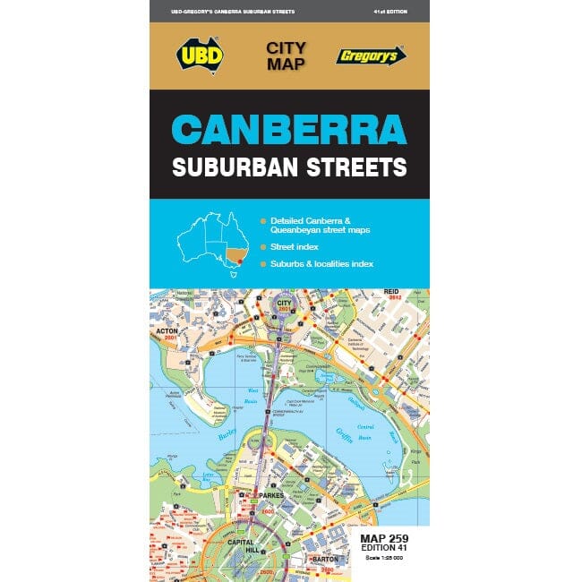
Map No. 259 - Canberra Suburbs | UBD Gregory'ss
Regular price
13700 kr
Regular price
Sale price
13700 kr
/
- Shipping within 24 working hours from our warehouse in France
- Choose your delivery method and cost at checkout, before confirming your order.
- Free returns (*)
- Real-time inventory
- In stock, ready to ship