Carte en relief - Le massif des Pyrénées et les chemins vers Saint-Jacques de Compostelle - 62 X 31 cm | Relief Editions carte en relief Reliefs Editions

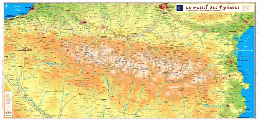
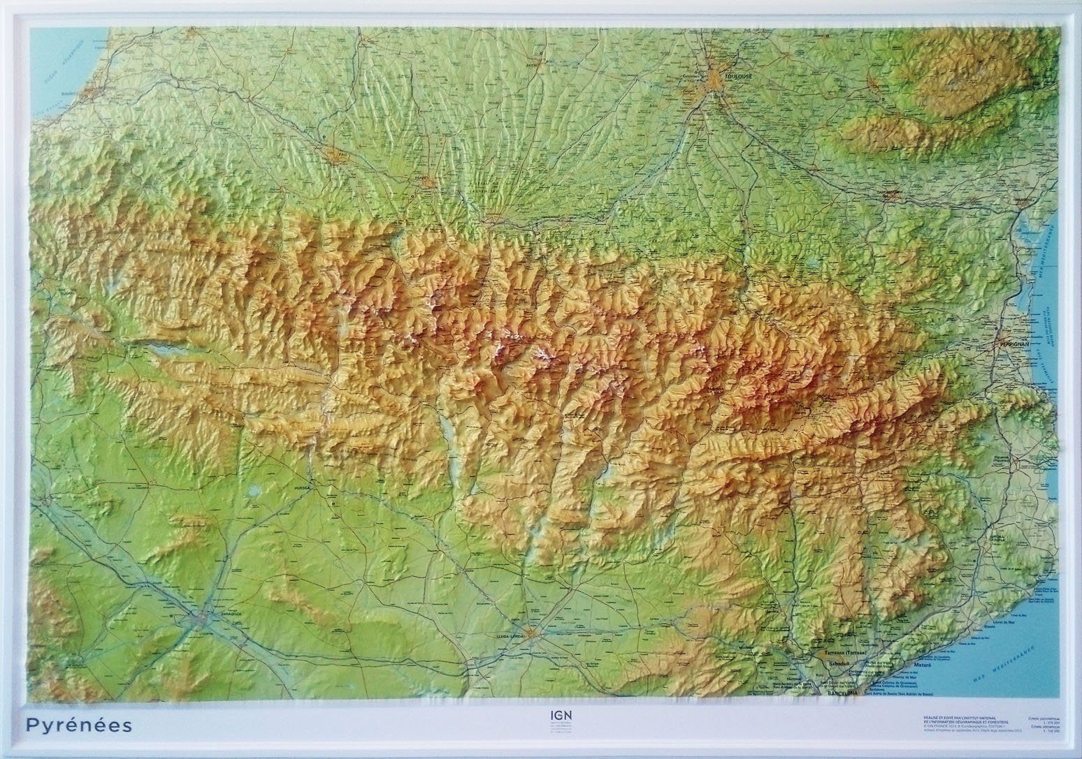
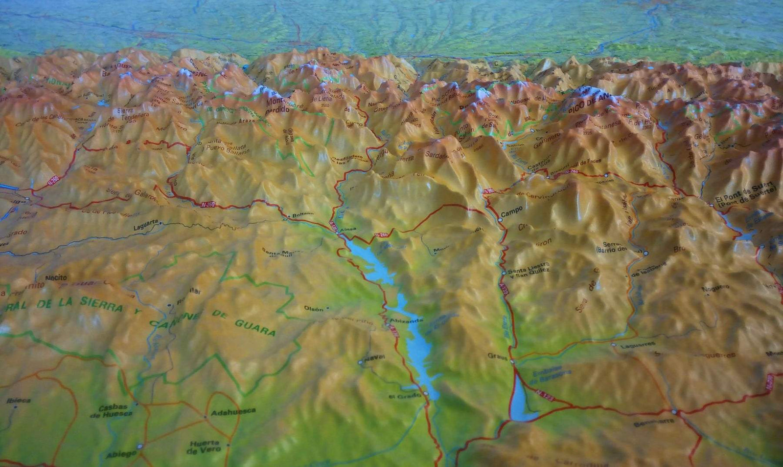
Relief map - The Pyrenees massif and the routes to Santiago de Compostela - 62 X 32 cm

Price
Regular price 41900 kr
Regular price Sale price 41900 kr
/
  • Shipping method and fees are shown at checkout
  • Free returns (*)
  • Real-time stock levels
  • In stock, ready to ship
  • Backordered, shipping soon
Tax included.

Frequently bought together:

Thematic hiking map developed in collaboration with the French Hiking Federation (FFRP) and the French Agency for the Ways of Compostela.

This relief map of the Pyrenees is crossed by the major hiking trails (GR®) to Santiago de Compostela: the coastal route, the Vézelay route, the Puy-en-Velay route, the Arles route, the Pyrenean foothills route, the Via Garona, and the Great Pyrenees Crossing (GR10®)


ISBN/EAN : 9782361681333
Publication date: 2023
Scale: 1.9cm=10km
Printed sides: front
Unfolded dimensions: 62x42cm
Language(s): French
Weight: 50 g