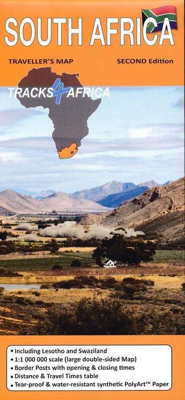
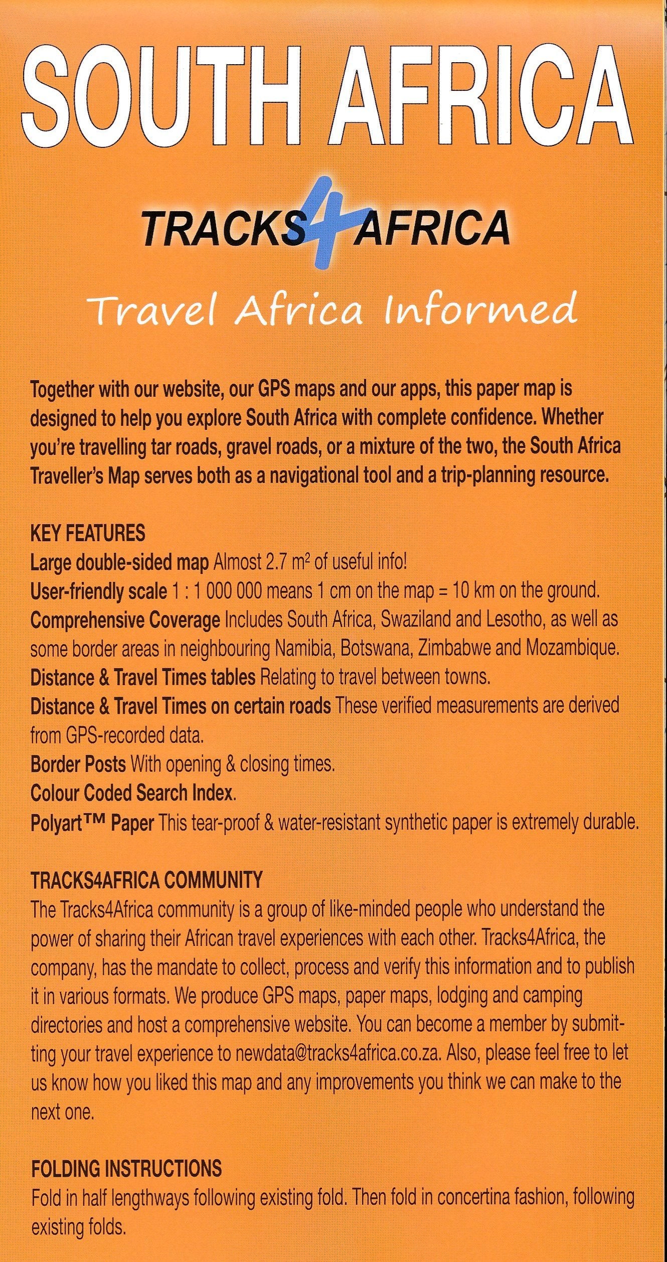
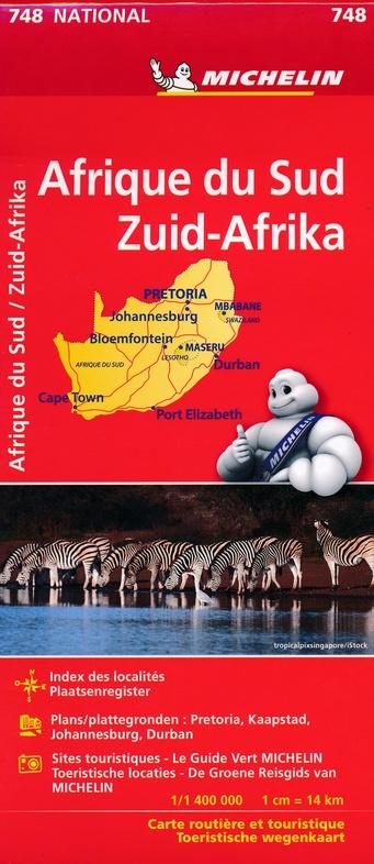
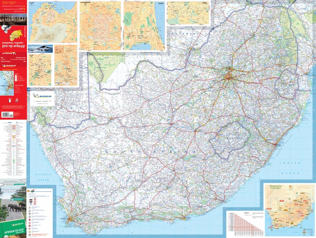
City map - Cape Town & Peninsula (South Africa) | MapStudio
- Shipping within 24 working hours from our warehouse in France
- Shipping method and fees are shown at checkout
- Free returns (*)
- Real-time stock levels
- In stock, ready to ship
Plus de 19 500 cartes 🗺️ et guides de voyage, cartes de randonnée, posters, globes, déco en stock !
La Compagnie des Cartes devient Cartovia ✨ Notée Excellent ⭐️ sur Trustpilot (9 000+ avis).
Livraison gratuite pour toute commande > 50 € (cartes pliées et guides, France métropolitaine)
This detailed and up - to - date map of the Cape Town includes a detailed map of the city of Cape City with a Waterfront inset. p>
She shows schools, span> sports fields, span> sports clubs, span> hospitals, span> clinics, span> municipal clinics, span> shopping centers, span> service stations, span> commercial spaces, span> parks, span> natural trails, span> main itineraries, traffic lights, road signs, metropolitan road numbers, one - way streets, names and limits suburb, municipal limits, police stations, traffic services and fireboxes. p>
Cover: North
: Milnerton West: Hout Bay
Est: Jakes Gerwel (Vanguard Drive)
South: Muizenberg
ISBN/EAN : 9781776170036
Publication date: 2019
Scale: 1/25000 (1cm=250m)
Printed sides: both sides
Language(s): English
Weight:
75 g
L'infolettre exclusive des passionnés de voyage et de découverte !