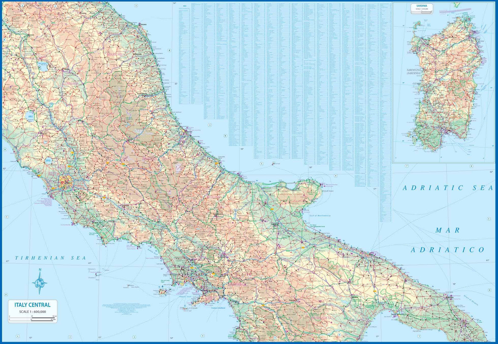
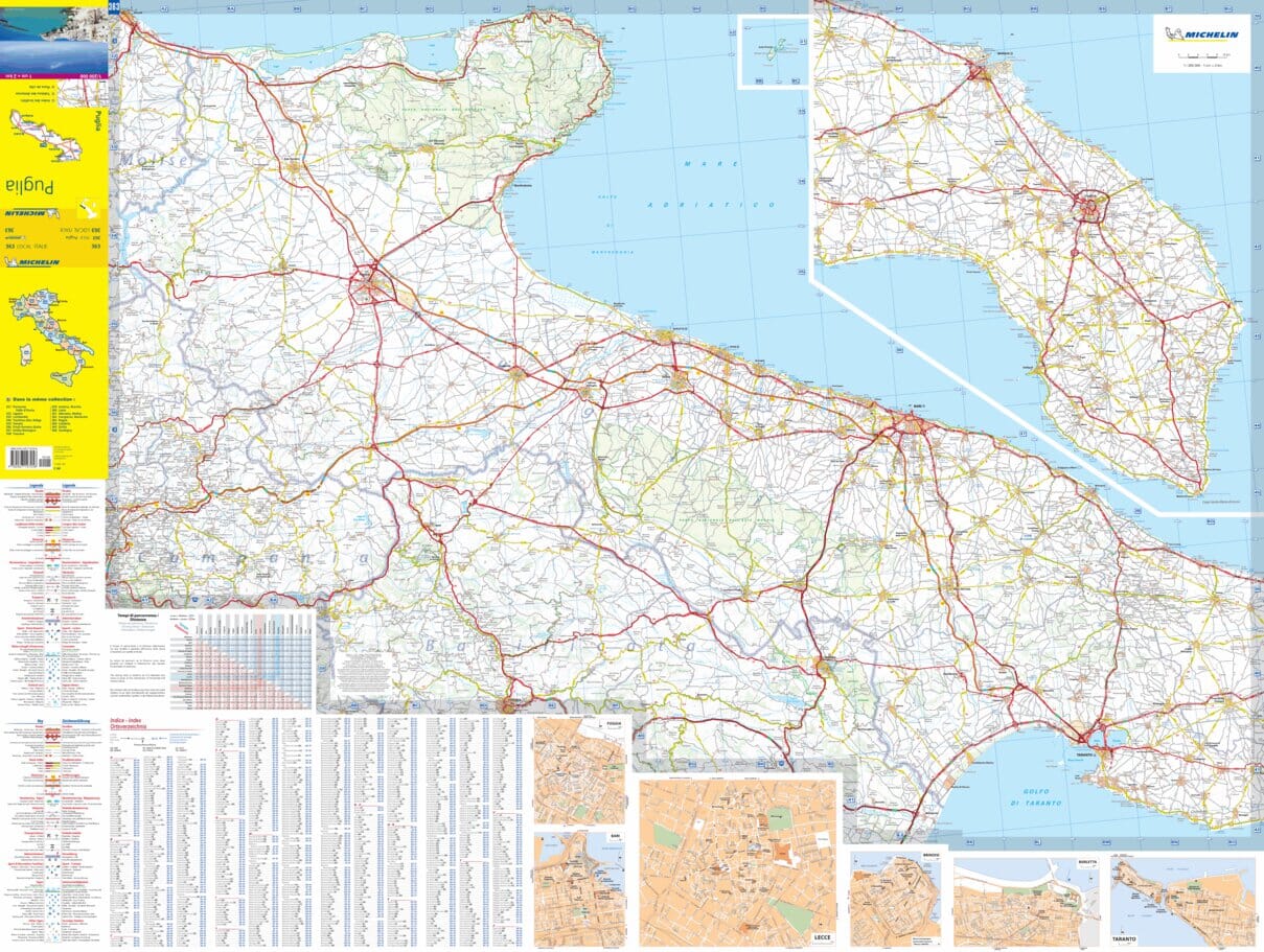
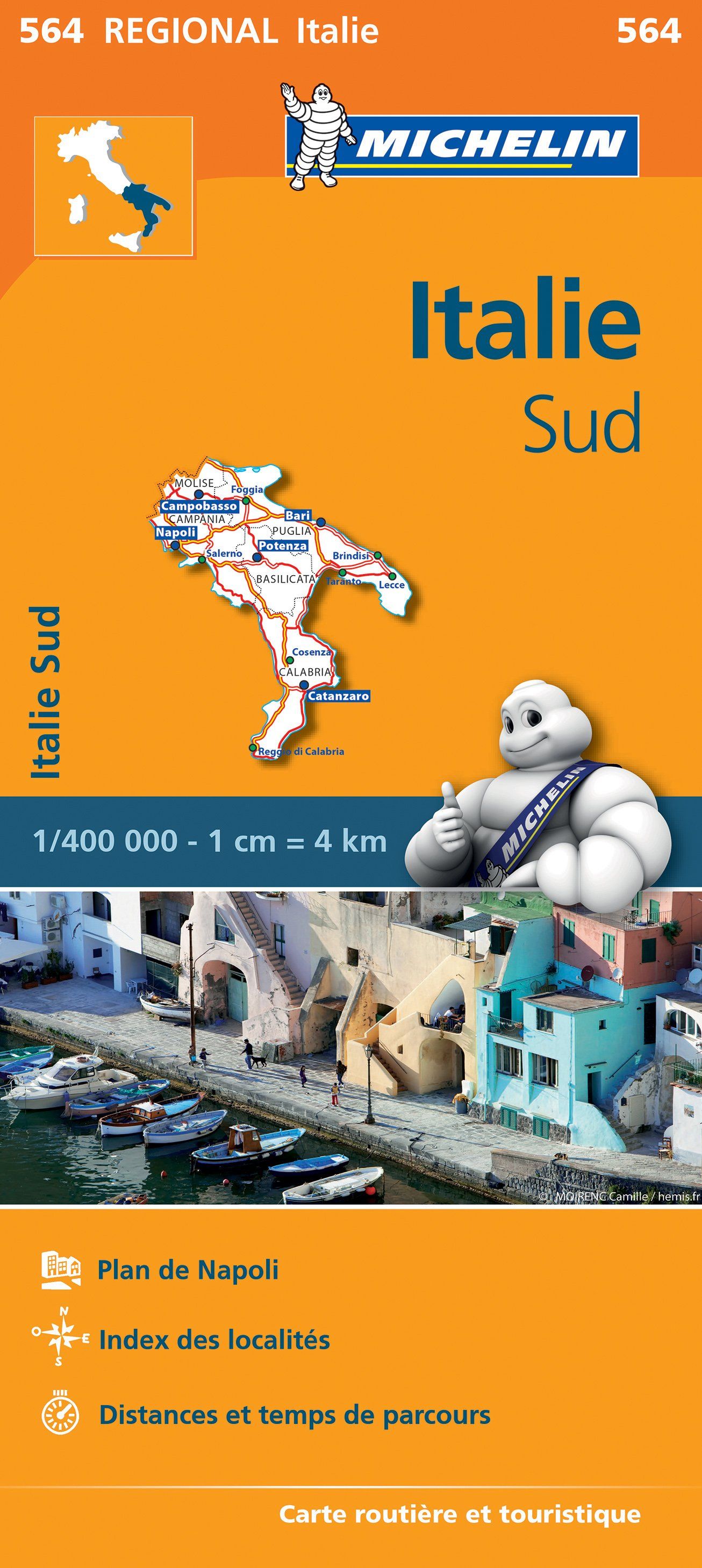
Travel map - South Italy and Center | ITM
- Shipping within 24 working hours from our warehouse in France
- Shipping method and fees are shown at checkout
- Free returns (*)
- Real-time stock levels
Over 19,500 maps 🗺️ and travel guides, hiking maps, posters, globes, and décor items in stock!
Rated Excellent ⭐️ on Trustpilot — 9,000+ reviews from explorers and map lovers worldwide.
Explore the world, one map at a time 🗺️
Travel map of the southern and central part of Italy (covers among others Umbria, Lazio, Campania, Sicily) p>
The front of the province of Umbria north of Rome until Naples and east of the Adriatic between Ancona and Brindisi. An inset map of Sardinia is also included. P>
The back covers the south of Italy, the island of Sicily and several small islands of the Mediterranean. Italy is densely populated and has a complicated road / rail system. This map extends the southern half of the country into a complete set, showing highways in blue, main roads in green and red connection routes. Important tourist sites are noted, as well as parks, museums, beaches, World Heritage sites, castles and large churches. p>
Legend includes: Routes by classification, rivers and lakes, national parks, airports, points of interest, mining, highways, main roads, zoos, fishing, etc. p>
ISBN/EAN : 9781771293686
Publication date: 2020
Scale: 1/600,000 (1cm=6km)
Printed sides: both sides
Folded dimensions: 24.6 x 10.3 x 0.5cm
Unfolded dimensions: 100 x 69cm
Language(s): English, Italian
Weight:
76 g
The exclusive newsletter for travel and discovery enthusiasts!