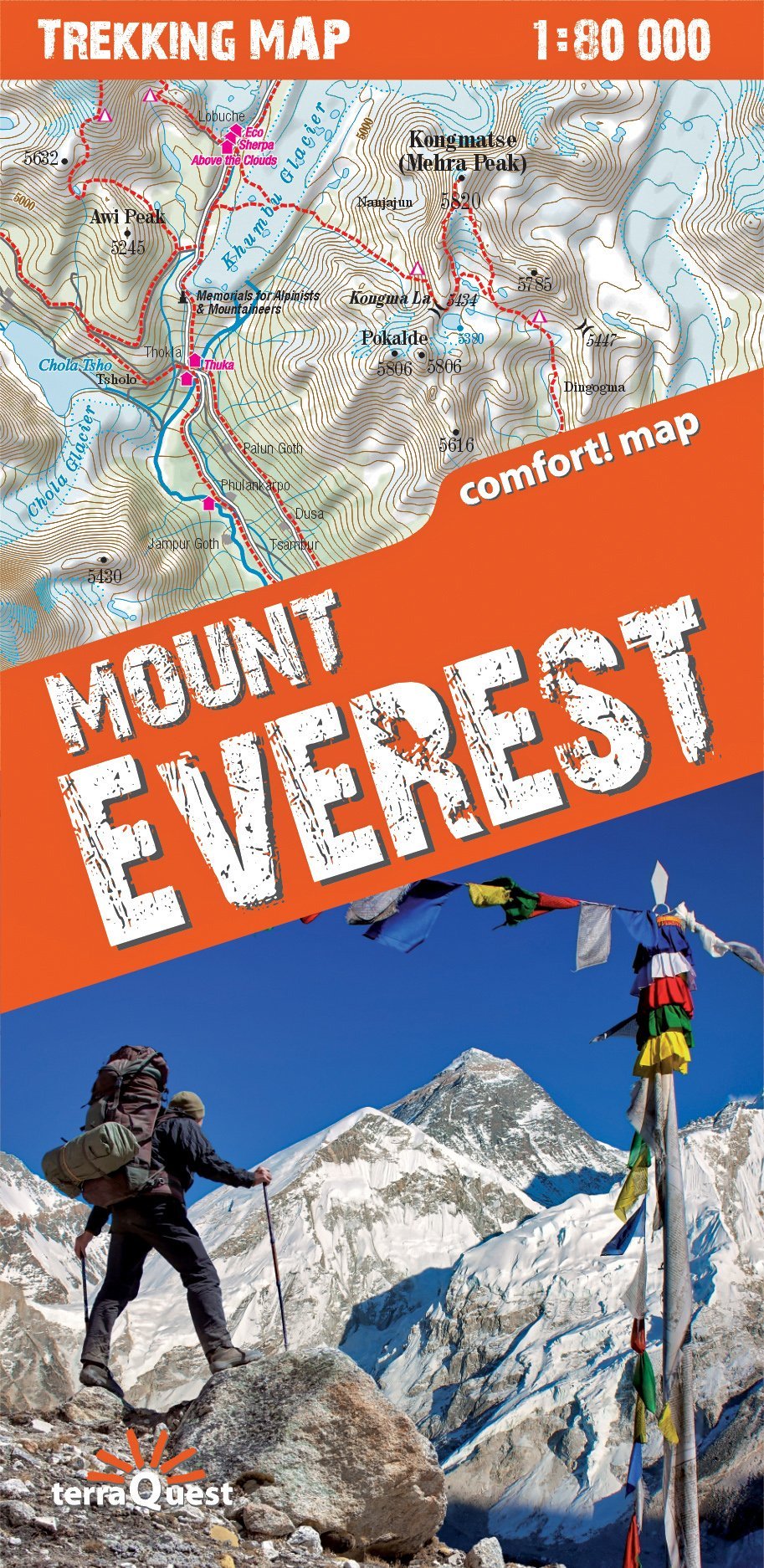
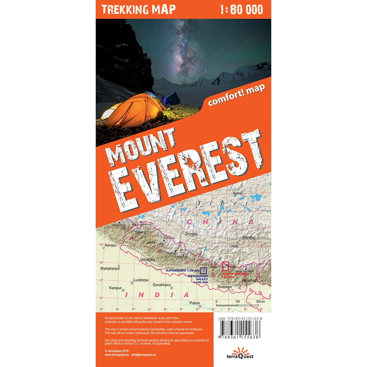
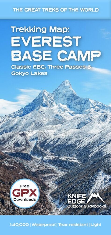
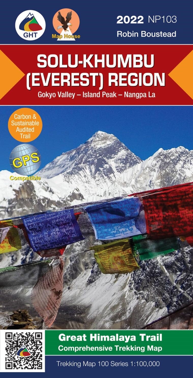
Laminated Hiking map - Everest | Terraquest
- Shipping within 24 working hours from our warehouse in France
- Shipping method and fees are shown at checkout
- Free returns (*)
- Real-time stock levels
- In stock, ready to ship
Over 19,500 maps 🗺️ and travel guides, hiking maps, posters, globes, and décor items in stock!
Rated Excellent ⭐️ on Trustpilot — 9,000+ reviews from explorers and map lovers worldwide.
Explore the world, one map at a time 🗺️
This double - sided laminated map with a great comfort of using the Mont Everest Mountain region in the Himalaya Nepalese has been designed specifically for active people, leaving trek in Nepal. span > p>
- wide range - from Lukla to the south at the Gokyo lakes in the west, Island Peak in the east and the border with Tibet north, The Trek Terraquest map series is designed for those who love large travel and hard - to - reach places. A large extent, a detailed scale and a rich content will help plan your trekking. span> p>
Thanks to its double - sided rolling, Trekking Terraquest maps will prove themselves even in extreme mountain conditions. span> p>
- Rich tourist content, including routes Hiking, tourist infrastructure, natural attractions and other areas of interest,
- Shade showing relief of relief,
- Compatibility with GPS - Geographic coordinates in the WGS - 84 system. span> p>
ISBN/EAN : 9788361155638
Publication date: 2019
Scale: 1/80,000 (1cm=800m)
Printed sides: both sides
Folded dimensions: 24 x 11.2 x 0.5cm
Unfolded dimensions: 100 x 49cm
Language(s): English
Weight:
126 g
Super carte avec une bonne échelle, pour les randonnées de la vallée de l'Everest. De plus très bien plastifiée.
The exclusive newsletter for travel and discovery enthusiasts!