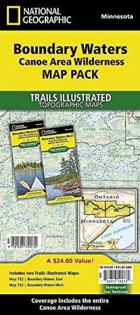
Topographic maps of the Boundary Waters Canoe Area Wilderness (Minnesota) published by National Geographic.
With over 1,500 miles of canoe routes, nearly 2,200 designated campsites, and over 1,000 lakes and streams, the BWCAW attracts over 250,000 visitors each year. Part of the Superior National Forest, the BWCAW is managed by the U.S. Forest Service.
.
Coverage Highlights: It includes both the Boundary Waters Canoe Area East and Boundary Waters Canoe Area West Trails Illustrated maps, providing you with coverage of the entire map region. This set of detailed topographic recreation maps contains carefully researched trails, campsites, forest roads, and points of interest. Includes UTM grids for use with your GPS unit.
Features:
Hiking trails, portages, cross-country ski, snowmobile, and snowshoe trails, trail access locations, campgrounds and tent sites, birdwatching, fishing, kayaking, canoeing, and motorboating opportunities. Some of the features found on these maps include: Ash River, Crane Lake, the Kabetogama and Rainy Lake Visitor Centers, the Gull Island Rose Garden, the Grassy Bay Bluffs, Anderson Bay, Kettle Falls, Hoist Bay, and Gold Portage.
.
The Boundary Waters Map Pack includes:
Map 752: Boundary Waters East [Canoe Area Wilderness, Superior National Forest]
Map 753: Boundary Waters West [Canoe Area Wilderness, Superior National Forest]
.
These maps are waterproof and tear-resistant.
Scale = 1:70,000
.