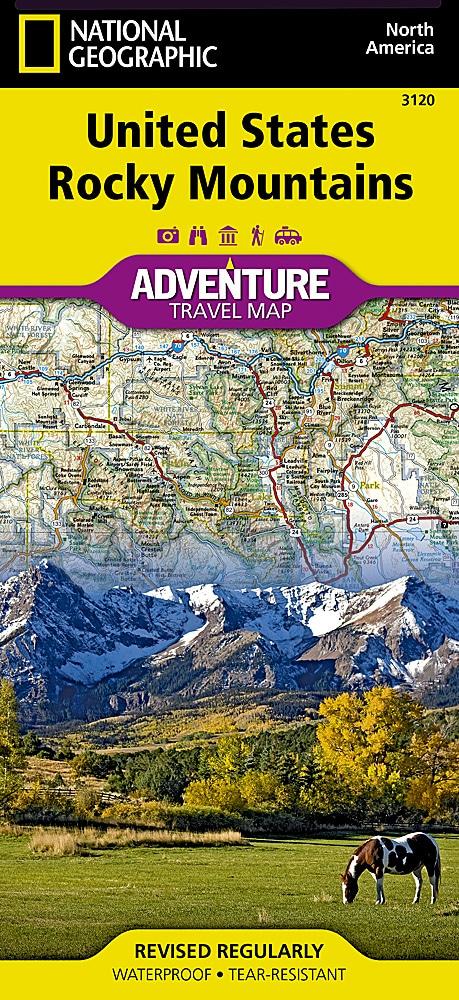
Travel map - Rocky Mountains (USA) | National Geographic

Price
Regular price 19000 kr
Regular price Sale price 19000 kr
/
  • Shipping within 24 working hours from our warehouse in France
  • Choose your delivery method and cost at checkout, before confirming your order.
  • Free returns (*)
  • Real-time inventory
  • In stock, ready to ship
  • Backordered, shipping soon
Tax included.

Often purchased together:

Tourist map of Rocky Mountains (United States) published by National Geographic. The rock mountain map will guide you in one of the most accident and picturesque regions of North America. Colorado, Utah, Wyoming and Montana include Yellowstone, Grand Teton, Glacier, Zion, Arches, Capitol Reef, Canyonlands, Mesa Verde and Rocky National Parks, as well as dozens of magnificent national monuments, forests and areas savages.

The best skiing, rafting and climbing destinations in America are included. The map includes the cities of Denver, Salt Lake City and Missoula, and Cheyenne and covers almost all Idaho.

Roads, Protected Areas (National Park, Reserves ...), tourist attractions and a cities index.

Detailed map waterproof and tearing resistant.

Scale 1/100,000 (1 cm = 13 km).


ISBN/EAN : 9781566957144
Publication date: 2022
Scale: 1 / 1,300,000 (1cm = 13km)
Printed sides: both sides
Folded dimensions: 23.5 x 10.7 x 0.8cm
Unfolded dimensions: 95x65cm
Language(s): English
Weight: 89 g