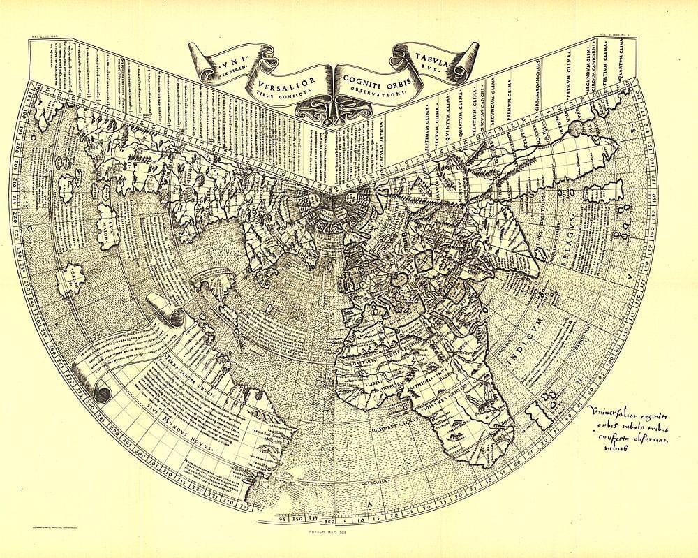
One of the earliest maps of the New World, Johannes Ruysch created this map using a polar projection, which includes an extensive view of South America, the islands of the Antilles, and part of North America. Ruysch's world map first appears among the Tabulae Novae in some copies of the 1507 Roman edition of Ptolemy's Geography. Ruysch's map illustrates several important geographical features more accurately than previously possible, particularly along the eastern sea route to the Orient, which was of prime importance to early 16th-century Europeans. An incredible historical piece.


