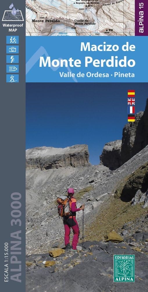
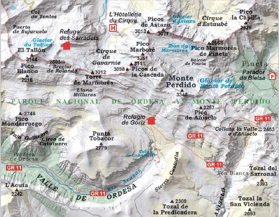
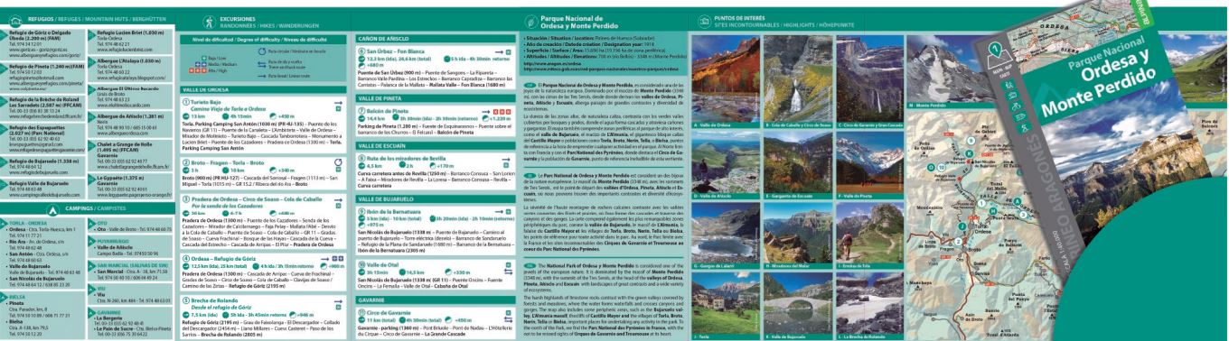
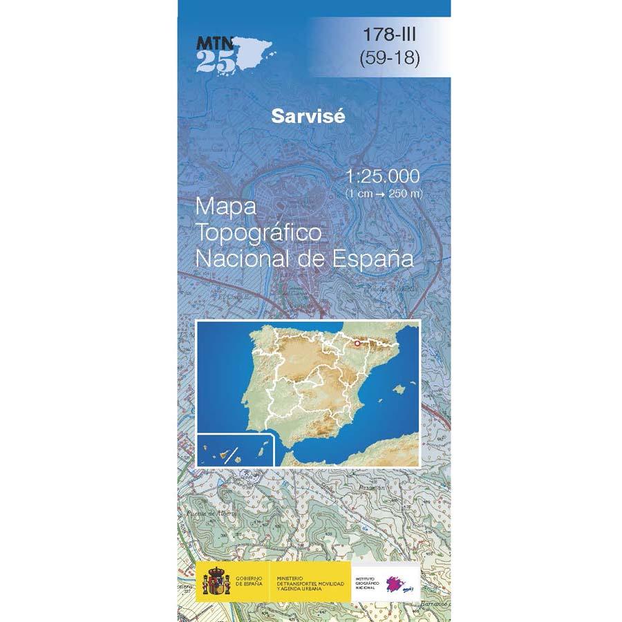
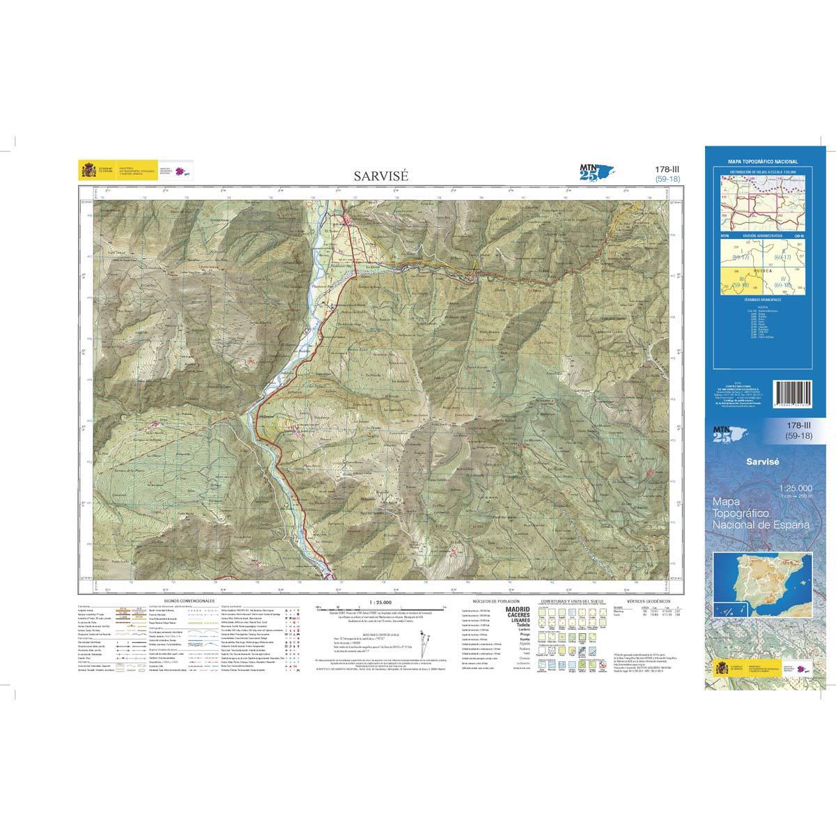
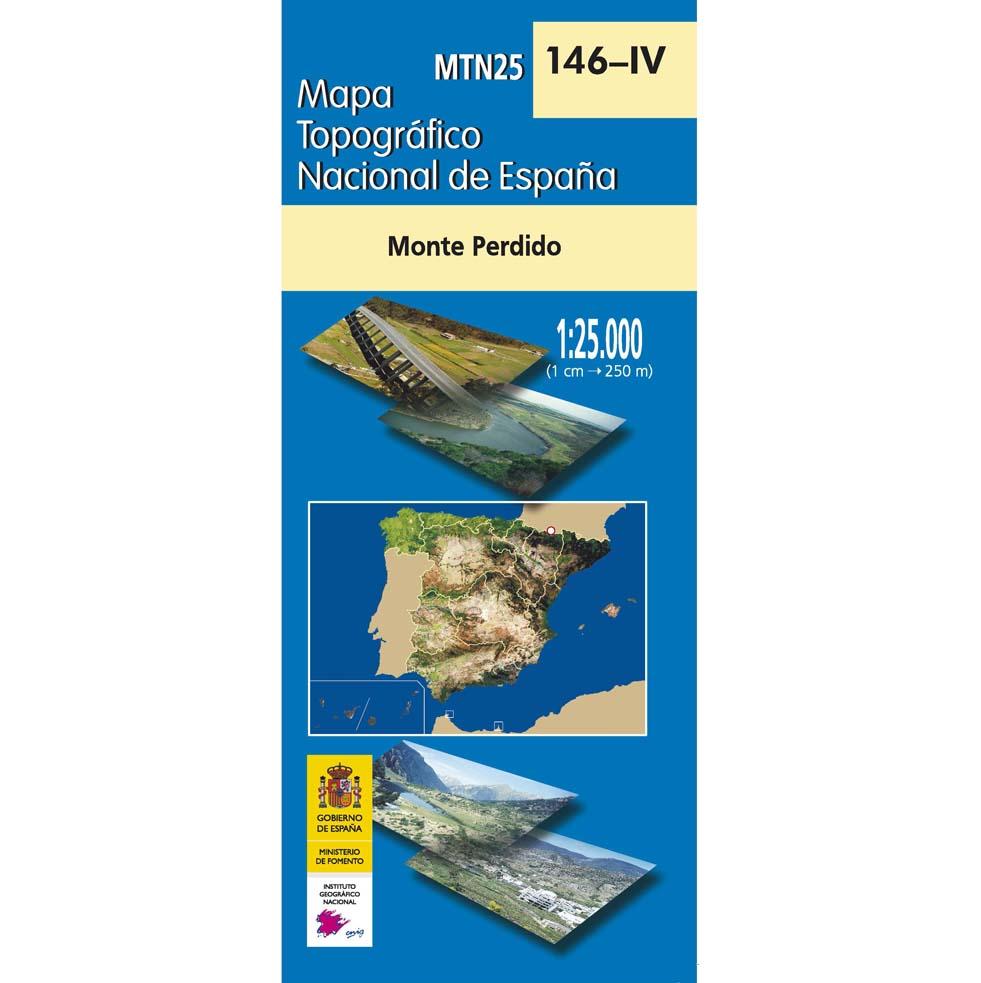
Hiking map - Mountain Mountain Lost & Ordesa Valley & Pineta (Pyrenees) | Alpina

Price
Regular price 18000 kr
Regular price Sale price 18000 kr
/
  • Shipping within 24 working hours from our warehouse in France
  • Shipping method and fees are shown at checkout
  • Free returns (*)
  • Real-time stock levels
  • In stock, ready to ship
  • Backordered, shipping soon
Tax included.

Frequently bought together:

Detailed topographic map of the Mount Lost Massif region that covers the Ordesa and Pineta Valley. The detailed map, published by Editorial Alpina, is waterproof, in color with the level curves and indicate the hiking trails. Detailed legend. GPS compatible.
All is protected by a laminated case.
Scale 1/15 000 (1 cm = 150 m).


ISBN/EAN : 9788470111778
Publication date: 2025
Scale: 1/15000 (1cm=150m)
Printed sides: front
Folded dimensions: 21 x 11 x 0.5cm
Unfolded dimensions: 98 x 68cm
Language(s): French, English, German, Castilian
Weight: 143 g