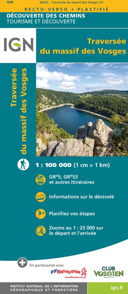
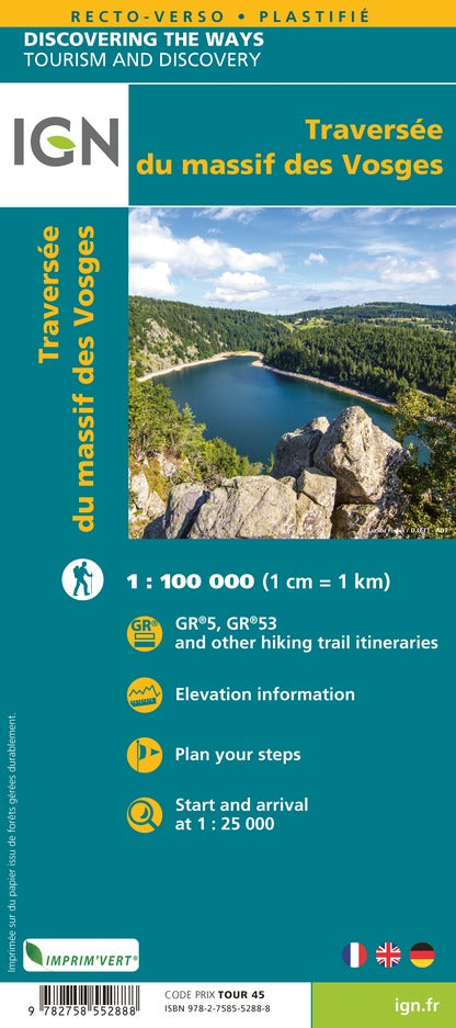
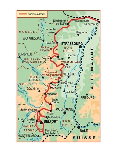
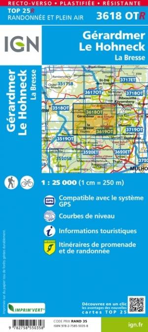
Detailed map - Crossing the Vosges mountains | IGN
- Shipping within 24 working hours from our warehouse in France
- Shipping method and fees are shown at checkout
- Free returns (*)
- Real-time stock levels
- In stock, ready to ship
Plus de 19 500 cartes 🗺️ et guides de voyage, cartes de randonnée, posters, globes, déco en stock !
La Compagnie des Cartes devient Cartovia ✨ Notée Excellent ⭐️ sur Trustpilot (9 000+ avis).
Livraison gratuite pour toute commande > 50 € (cartes pliées et guides, France métropolitaine)
Double-sided laminated map of the Vosges crossing at a scale of 1:100,000 (1 cm = 1 km), including the GR5 and GR53.
Route profile and main stops and tourist attractions.
This tourist map iswaterproof and includes a detailed key and hiking trails.
It's a valuable aid in planning your stages thanks to its tourist information and links (where to eat, where to stay, what to visit, etc.).
ISBN/EAN : 9782758552888
Publication date: 2022
Scale: 1/100,000 (1cm=1km)
Printed sides: both sides
Folded dimensions: 11x24cm
Language(s): French English
Weight:
90 g
L'infolettre exclusive des passionnés de voyage et de découverte !