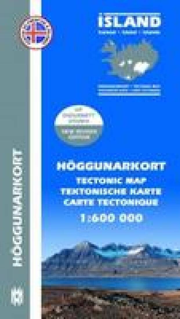
A tectonic map of Iceland produced by Mal og Menning in cooperation with the Icelandic Institute of Natural History. It provides an overview of the country's geological structure and tectonic activity, with multilingual notes on the reverse explaining some of the features depicted.
The general geology is classified on this map by age rather than type, using clearly distinguished colors. The Miocene and Pliocene epochs are represented in Iceland and are subdivided here into seven age bands, from the Early Miocene to post-glacial lava flows < 14,000 years ago. Active and extinct volcanic systems are indicated, along with their associated calderas, axial rift zones, fissure swarms, flank-drift zones, dike and fault swarms, and central volcano domains. Other details include anticlinal and syncline axes, dip directions, faults and fractures, unconformities, and monoclinic flexure zones.
Basic topographic information shows glaciers, 100-meter contour lines, point elevations, built-up areas, rivers, lakes, and selected landmarks, i.e., churches, farms, and power stations. Latitude and longitude lines are drawn at 1° and 30' intervals, respectively.
The key and explanatory notes are in English, Icelandic, German, and French.