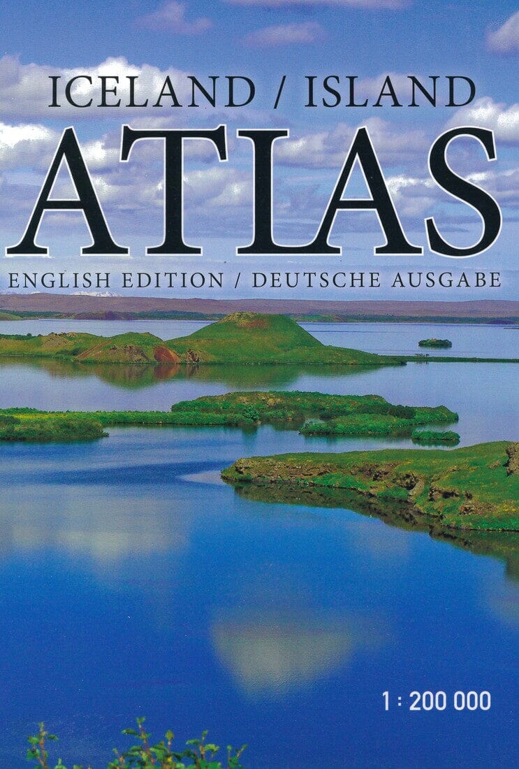
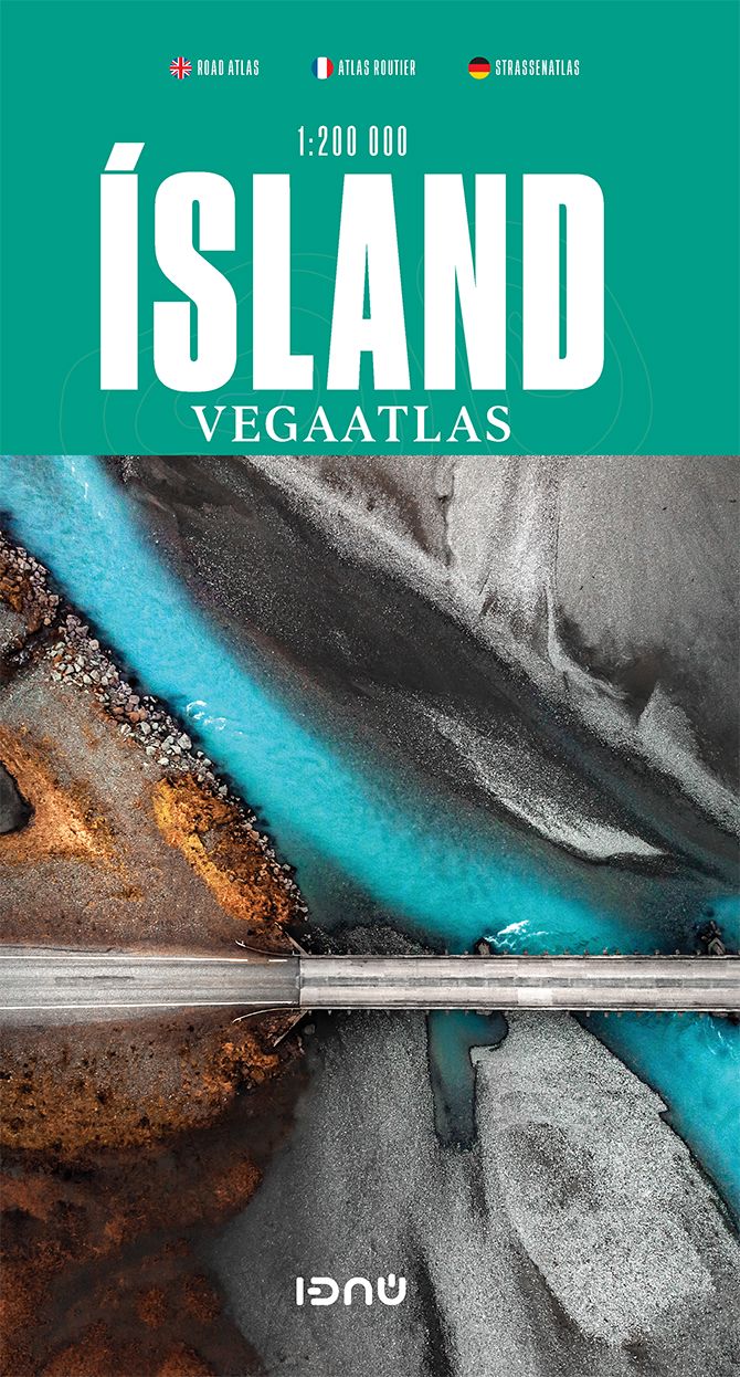
This atlas is designed to meet the needs of those traveling to Iceland who want to know the country as best as possible. It includes 78 new maps at a scale of 1:200,000, including 26,600 place names, which are listed in a detailed index.
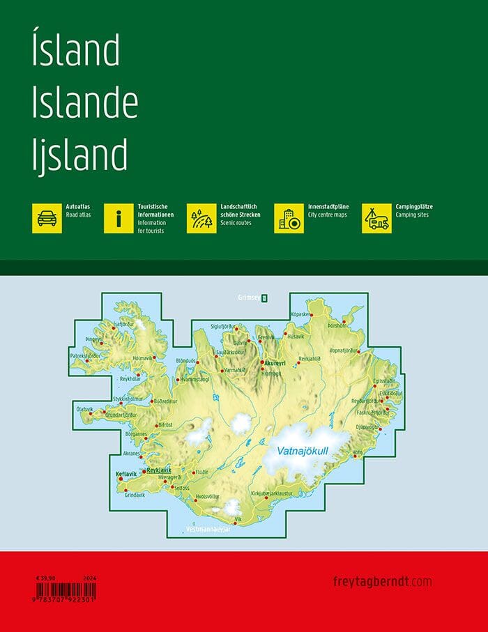
Thanks to the use of digital mapping technology, the country's geographical features can be depicted in astonishing detail: the map user sees the height of the mountains, the depth of the valleys, and the breadth of the open spaces, in a spectacular bird's-eye view.
The atlas also includes 47 essential maps of the greater Reykjavík area and other cities, as well as useful information on swimming pools, campsites, museums and galleries, golf courses, birdwatching spots, and driving distances. Descriptions and color photographs of 104 places of natural beauty and historical significance, along with drawings of birds, plants, and shells, will help make your trip to Iceland unforgettable.
