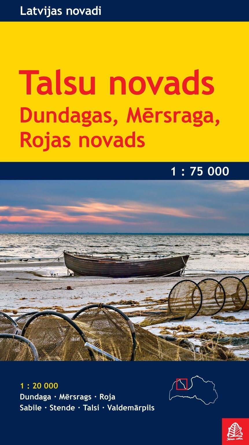
Map of the Talesi, compatible GPS compatible, 1/75,000 from the Lattone Jana Seta publishing house. It offers a detailed presentation of road or rail networks, tourist sites and tourist facilities, etc. Dundaga, Mersrags, Roja, Sabile, Stende, Talsi and Valdemarpils are also covered by street plans at 1:20 000.
The legend of the map includes English.
ISBN/EAN : 9789984076652
Publication date: 2015
Scale: 1/75,000 (1cm=750m)
Printed sides: both sides
Folded dimensions: 12.5 x 24cm
Language(s): English, Latvian, Russian, German
Weight:
80 g
