Road Map - Ireland 2026 | Collins
- Shipping within 24 working hours from our warehouse in France
- Shipping method and fees are shown at checkout
- Free returns (*)
- Real-time stock levels
- In stock, ready to ship
Plus de 19 500 cartes 🗺️ et guides de voyage, cartes de randonnée, posters, globes, déco en stock !
Plus de 19 500 cartes 🗺️ et guides de voyage, cartes de randonnée, posters, globes, déco en stock !
La Compagnie des Cartes devient Cartovia ✨ Notée Excellent ⭐️ sur Trustpilot (9 000+ avis).
Livraison gratuite pour toute commande > 50 € (cartes pliées et guides, France métropolitaine)
Livraison gratuite pour toute commande > 50 € (cartes pliées et guides, France métropolitaine)
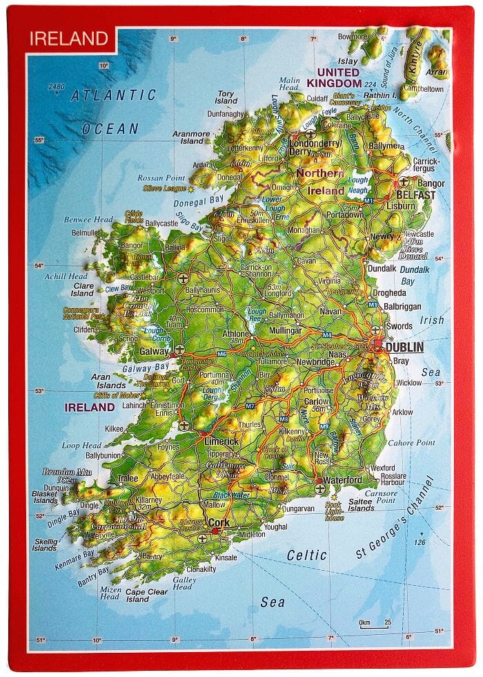
Color map of Ireland, with clear, detailed road network and counties, and new color-coded administrative areas. This double-sided map covers the whole of Ireland and is ideal for reference or route planning.
This map of Ireland shows the road network in detail. It's ideal for business users, with its color-coded municipal areas, but it's also perfect for tourists as a route planner.
Key Features:
ISBN/EAN : 9780008719241
Publication date: 2025
Scale: 1/470,000 (1cm=4.7km)
Printed sides: both sides
Folded dimensions: 23.6 x 11.8cm
Language(s): English
Weight:
90 g
L'infolettre exclusive des passionnés de voyage et de découverte !


