Travel map - Ireland | ITM
- Shipping within 24 working hours from our warehouse in France
- Shipping method and fees are shown at checkout
- Free returns (*)
- Real-time stock levels
- In stock, ready to ship
Plus de 19 500 cartes 🗺️ et guides de voyage, cartes de randonnée, posters, globes, déco en stock !
Plus de 19 500 cartes 🗺️ et guides de voyage, cartes de randonnée, posters, globes, déco en stock !
La Compagnie des Cartes devient Cartovia ✨ Notée Excellent ⭐️ sur Trustpilot (9 000+ avis).
Livraison gratuite pour toute commande > 50 € (cartes pliées et guides, France métropolitaine)
Livraison gratuite pour toute commande > 50 € (cartes pliées et guides, France métropolitaine)
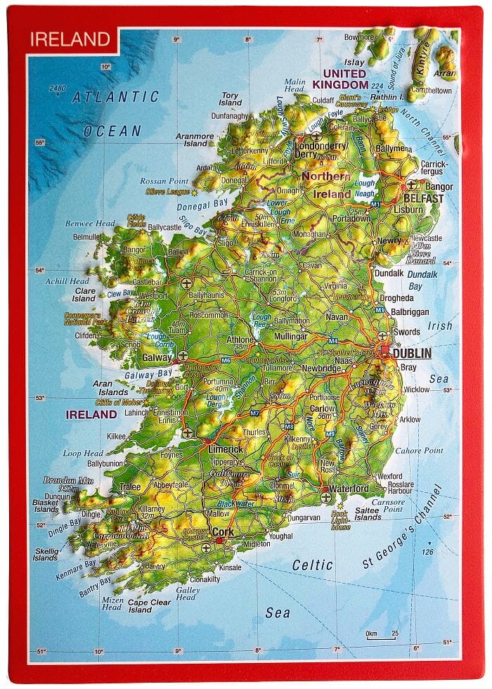
Waterproof travel map of Ireland published by ITM. The front covers the northern half, including Northern Ireland, or Ulster, and a good portion of the Republic of Ireland, essentially everything north of Dublin and west to Counties Mayo and Galway.
The back covers the southern half of the island, from north Dublin to the tips of County Kerry. It also includes a beautiful inset map of central Dublin.
All motorways and roads are included, as are tourist attractions, campsites/caravan sites, ferry terminals, and major attractions.
The key includes:
Roads by classification, rivers and lakes, national parks, airports, points of interest, motorways, main roads, zoos, fishing, etc.
ISBN/EAN : 9781771293693
Publication date: 2023
Scale: 1/2,200,000 (1cm=220km)
Printed sides: both sides
Folded dimensions: 24.6 x 10.3 x 0.5cm
Unfolded dimensions: 100 x 69cm
Language(s): English
Weight:
80 g
L'infolettre exclusive des passionnés de voyage et de découverte !


