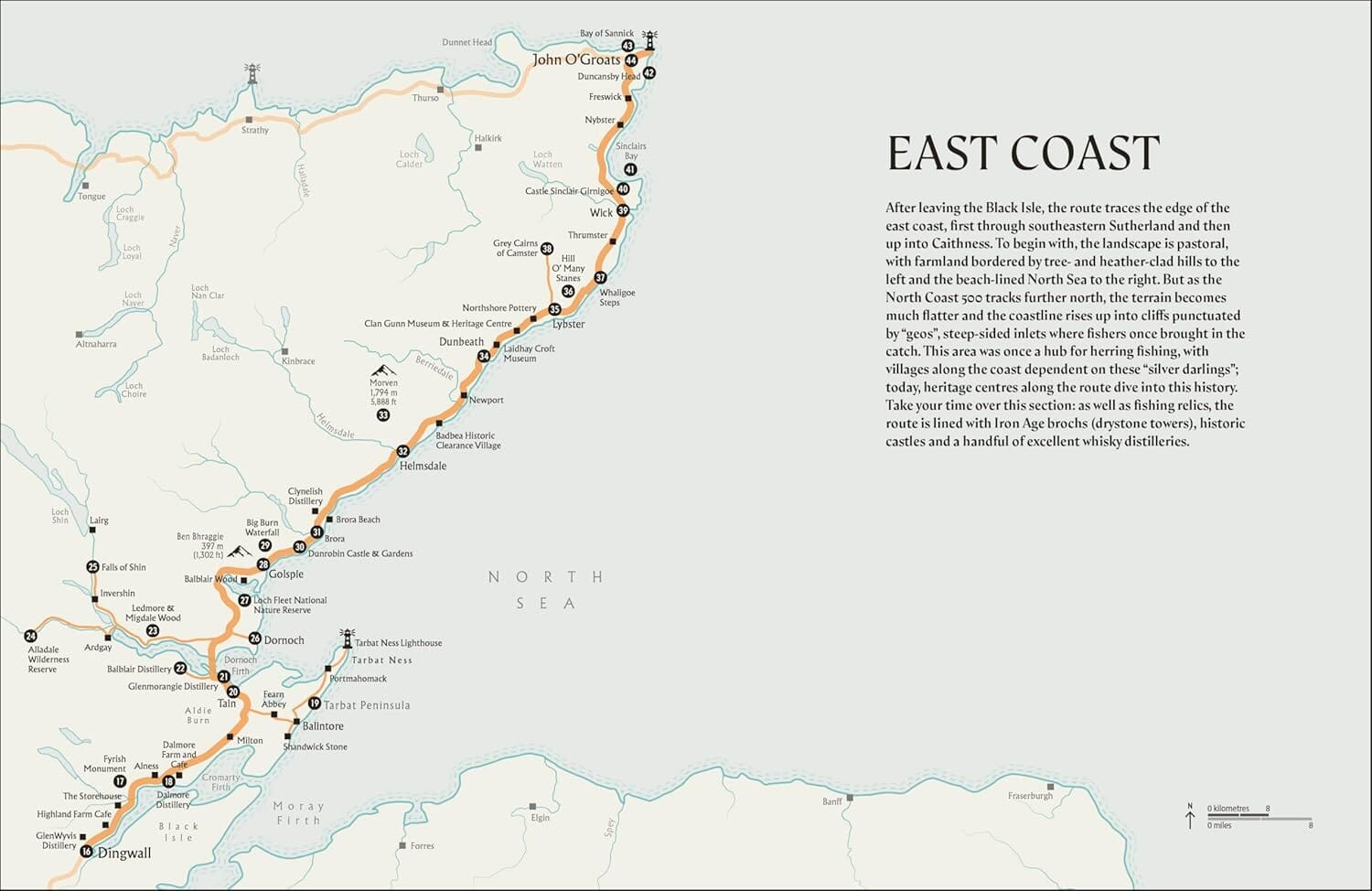
Road map No. 2 - West of Scotland & Western Isles | Ordnance Survey - Road

Price
Regular price 13800 kr
Regular price Sale price 13800 kr
/
  • Shipping within 24 working hours from our warehouse in France
  • Choisissez votre mode et vos frais de livraison à l’étape de paiement, avant de valider.
  • Retours gratuits (*)
  • Stocks en temps réel
  • In stock, ready to ship
  • Backordered, shipping soon
Tax included.

Souvent achetés ensemble :

Detailed map of Western Scotland published by Ordnance Survey. Highlighting National Parks and Forests, Relief etc. The cover starts in Dumbarton just north of Glasgow and includes exterior and interior hebrides. The map extends to the east beyond Fort Augustus, until the middle of the NESS Loch.

Scale 1: 250.000 (1 cm = 2.5 km).


ISBN/EAN : 9780319263747
Publication date: 2020
Scale: 1/250,000 (1cm=2.5km)
Printed sides: front
Folded dimensions: 13.5 x 24cm
Unfolded dimensions: 125 x 98cm
Language(s): English
Weight: 128 g