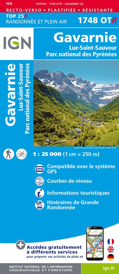
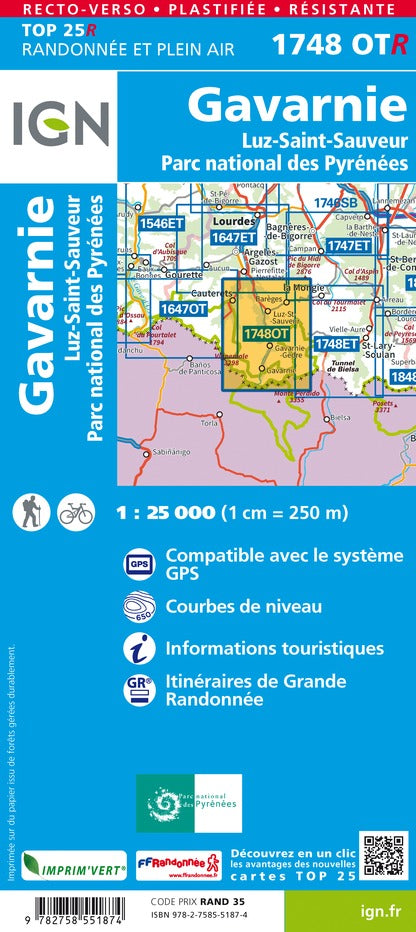
TOP 25 Map No. 1748 OTR (resistant) - Gavarnie & Luz St Sauveur (Pyrenees) | IGN

Price
Regular price 20800 kr
Regular price Sale price 20800 kr
/
  • Shipping within 24 working hours from our warehouse in France
  • Shipping method and fees are shown at checkout
  • Free returns (*)
  • Real-time stock levels
  • In stock, ready to ship
  • Backordered, shipping soon
Tax included.

Frequently bought together:

Top 25 topographic map of the Gavarnie region and Luz St Sauveur with part of the Pyrenees National Park. published by IGN. Hiking map with space curves spaced 10 meters and detailed legend (vegetation, rocks, streams etc ...). Indication of hiking trails. Scale 1 / 25,000 (1 cm = 250 m). GPS compatible map.

- This map is printed on a laminated and tear - resistant support, ideal for the practice of outdoor activities.

- Duplex map: a reduced footprint that facilitates handling.


ISBN/EAN : 9782758551874
Publication date: 2022
Scale: 1/25,000 (1cm=250m)
Printed sides: both sides
Folded dimensions: 23.6 x 11.2 x 0.5cm
Unfolded dimensions: 50 x 132cm
Language(s): French, English, German
Weight: 88 g