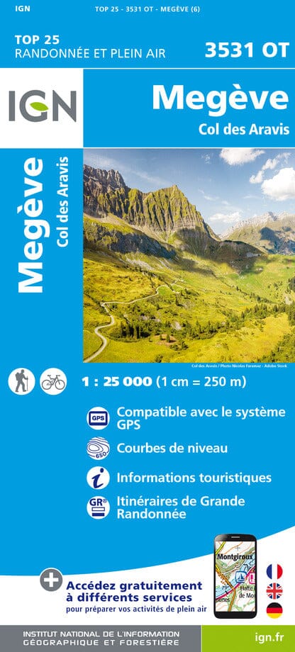
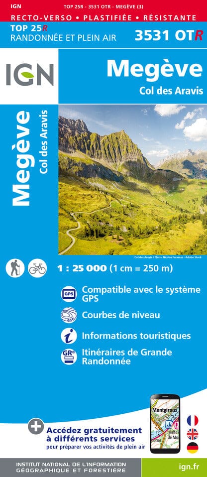
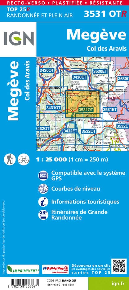
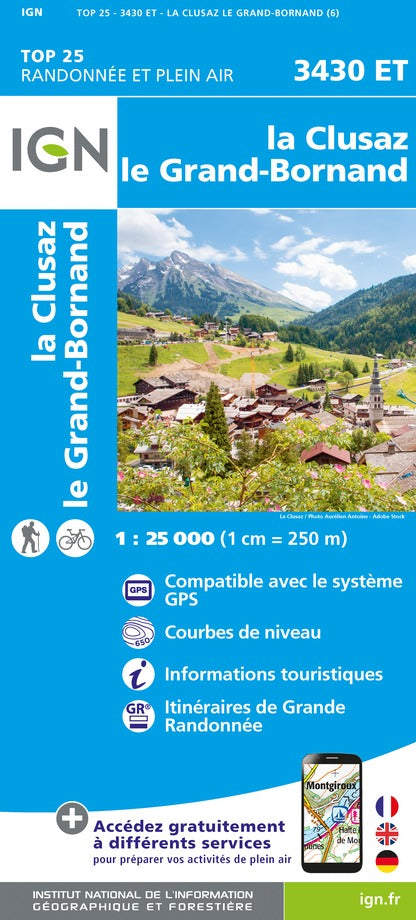
TOP 25 Map No. 3531 OT - Megève & Col des Aravis (Alps) | IGN

Price
Regular price 16900 kr
Regular price Sale price 16900 kr
/
  • Shipping within 24 working hours from our warehouse in France
  • Choisissez votre mode et vos frais de livraison à l’étape de paiement, avant de valider.
  • Retours gratuits (*)
  • Stocks en temps réel
  • In stock, ready to ship
  • Backordered, shipping soon
Tax included.

Souvent achetés ensemble :

Top 25 topographic map of the region between Megève and North Ugina to the south, and the Aravis Col des Beaufort Ouest in the East, published by IGN.

Hiking map with space curves spaced 10 meters and detailed legend (vegetation, rocks, streams etc ...). Indication of hiking trails. Scale 1/25 000 (1 cm = 250 m).


ISBN/EAN : 9782758553489
Publication date: 2023
Scale: 1/25,000 (1cm=250m)
Printed sides: front
Folded dimensions: 23.6 x 11.2 x 0.5cm
Unfolded dimensions: 96 x 132cm
Language(s): French, English, German
Weight: 89 g