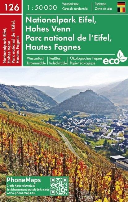
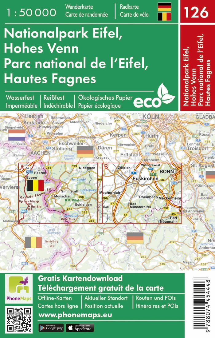
Hiking map - Eifel & Hautes Fagnes National Park No. 126 | Phonemaps

Price
Regular price 13100 kr
Regular price Sale price 13100 kr
/
  • Shipping within 24 working hours from our warehouse in France
  • Shipping method and fees are shown at checkout
  • Free returns (*)
  • Real-time stock levels
  • In stock, ready to ship
  • Backordered, shipping soon
Tax included.

Frequently bought together:

This waterproof hiking map covers the Eifel National Park and the Belgian High Fagnes. The hiking map contains marked hiking trails as well as tourist and cyclist information.

The map is produced on innovative ecological paper. The paper is ecological, recyclable, waterproof and indich and is therefore ideal for outdoor activities. The map is linked to the application of the same name. This allows the user to download free detailed maps of hiking and cyclists from all over Europe.


ISBN/EAN : 9788074454448
Publication date: 2019
Scale: 1/50,000 (1cm=500m)
Folded dimensions: 10.7 x 16.5cm
Language(s): French German
Weight: 100 g