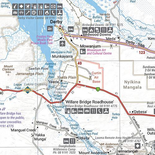
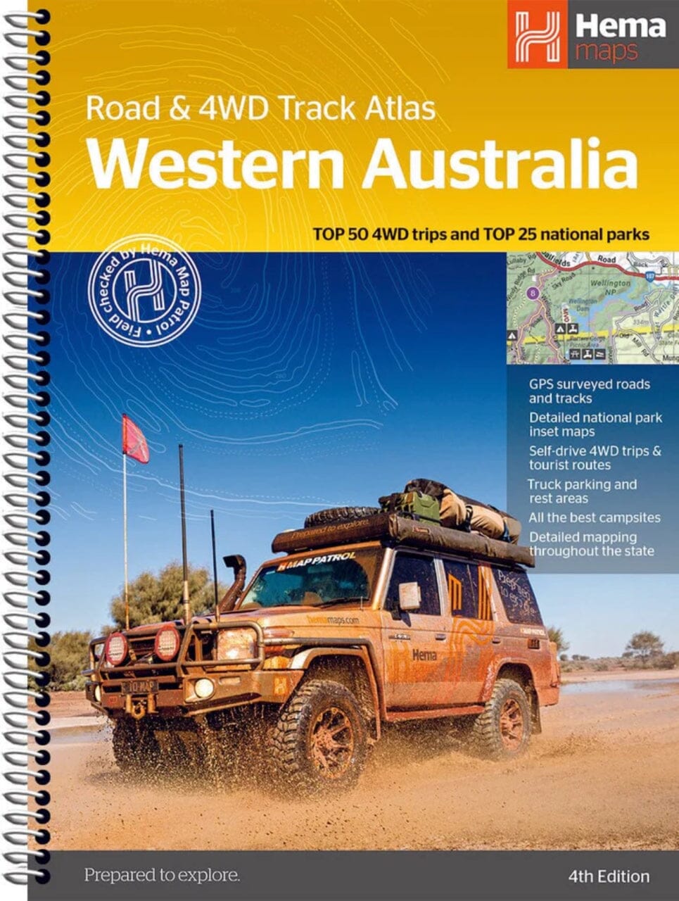
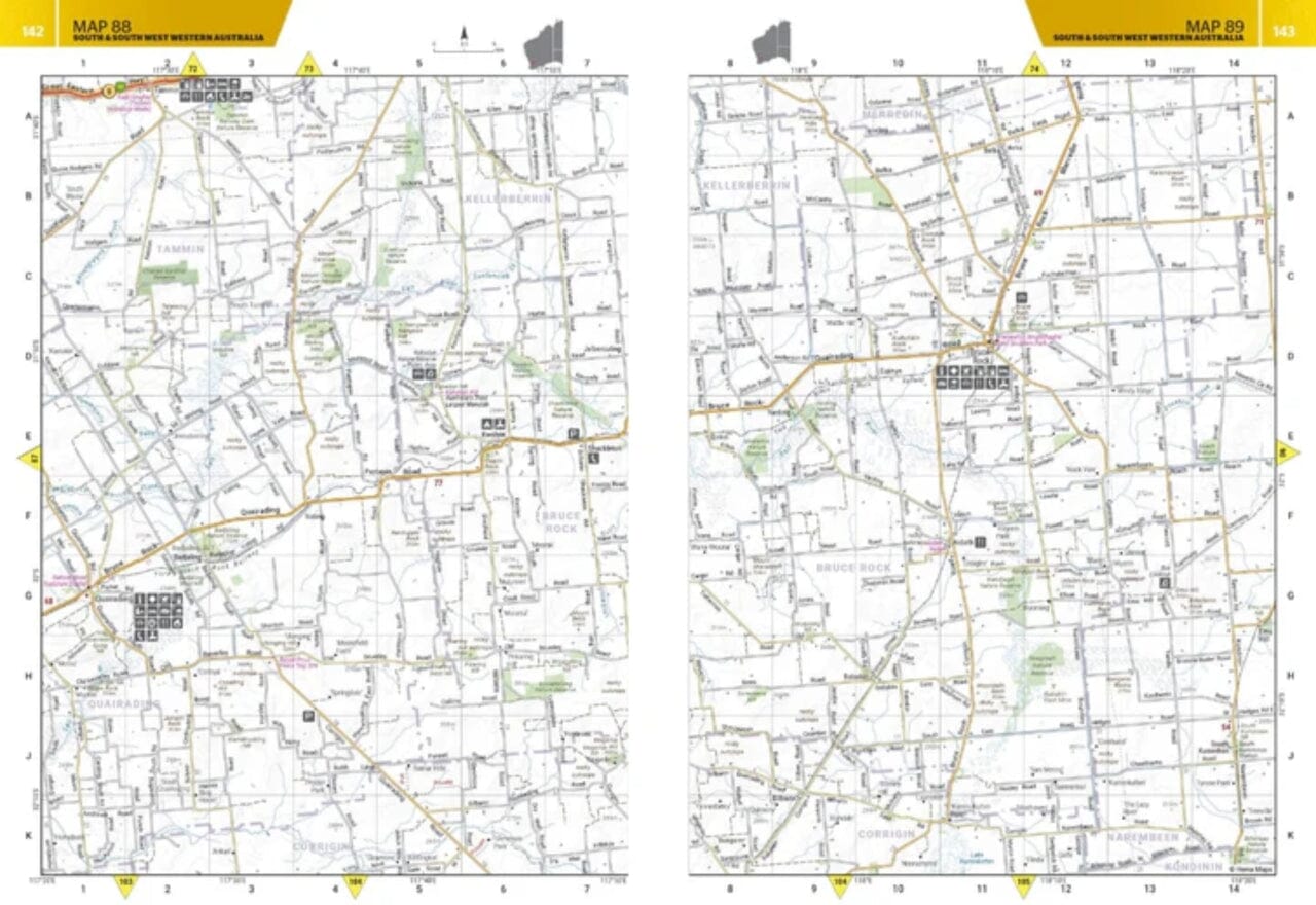
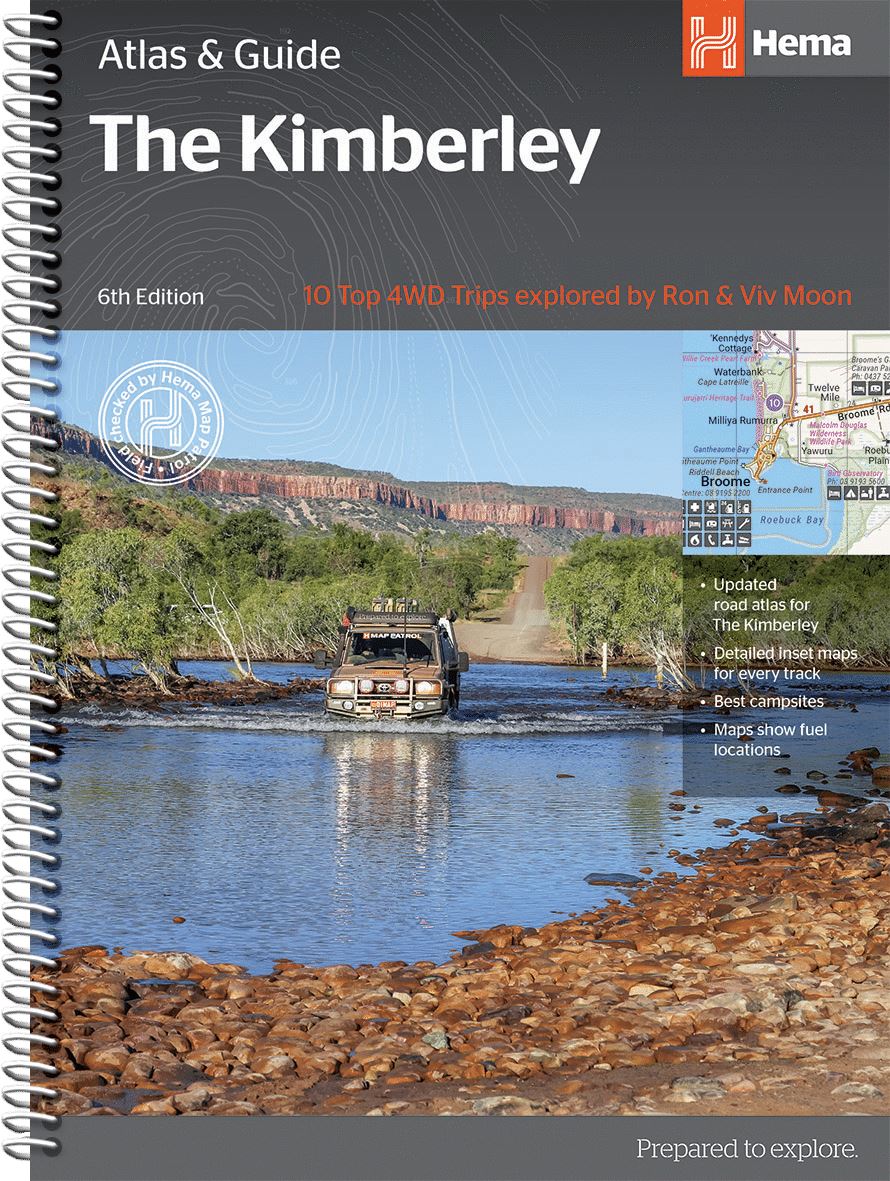
Kimberley Regional map with the iconic Gibb River Road. At the turn, maps of the Purnululu National Park, the Dampier Peninsula and the Parry Creek area.
• Waterproof paper
• 4 - wheel detailed drive trails
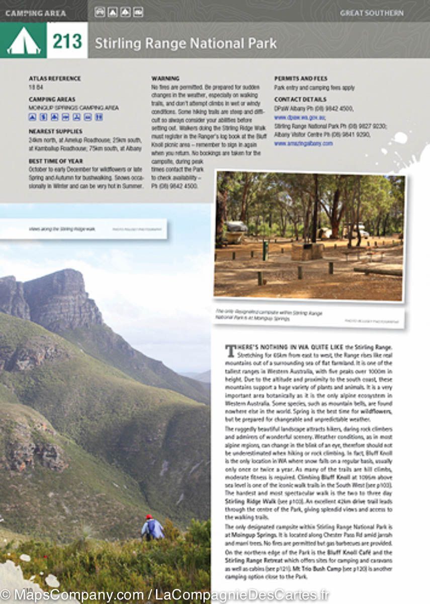
• National Parks
• Campgrounds
• Roads and tracks arpentished by GPS
This new edition of the Kimberley map presents the last mapping and many points of interest. It combines Hema's full database on isolated routes and four - wheel drive tracks with tourist points of interest and topographic information.
This Kimberley Regional map presents Gibb River Road. On the back, inserts of the Purnululu National Park, the Dampier Peninsula and the Parry Creek region.
You will also find information on national parks and relevant coordinates for planisphere prior to departure.
ISBN/EAN : 9781876413705
Publication date: 2017
Scale: 1/1,000,000 (1cm=10km)
Folded dimensions: 25x14cm
Language(s): English
Weight:
82 g


