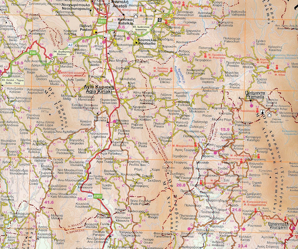
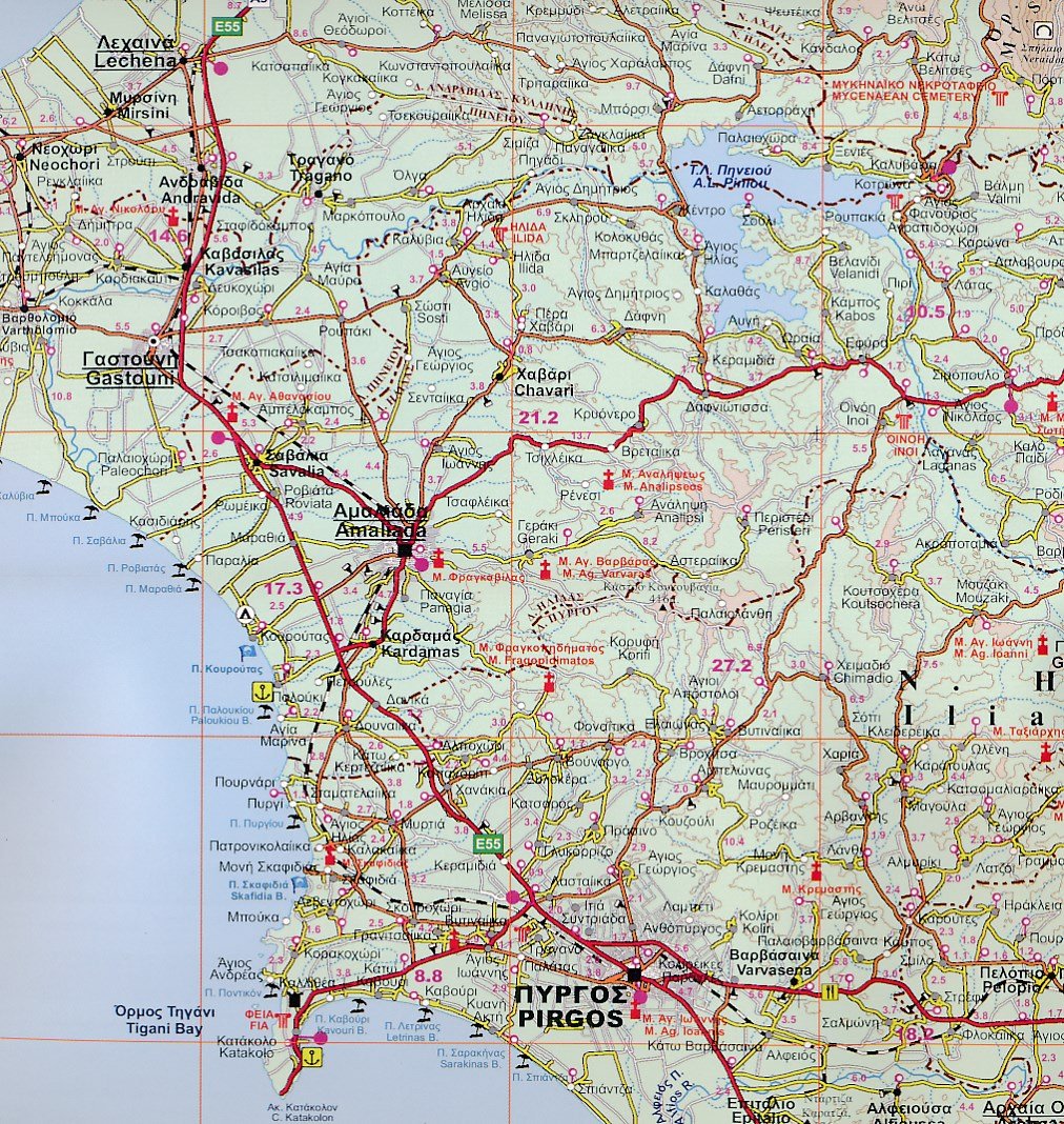
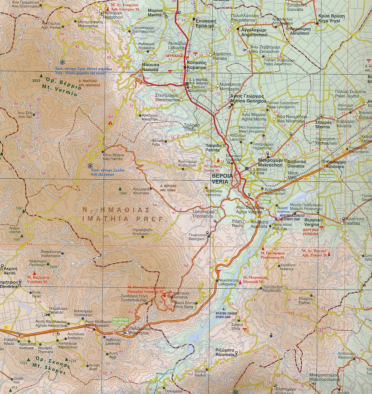
Topographic map - Achaia (Greece) | Anavasi
- Shipping within 24 working hours from our warehouse in France
- Choose your delivery method and cost at checkout, before confirming your order.
- Free returns (*)
- Real-time inventory
- In stock, ready to ship
Over 19,500 maps 🗺️ and travel guides, hiking maps, posters, globes, and decor in stock!
Over 19,500 maps 🗺️ and travel guides, hiking maps, posters, globes, and decor in stock!
Explore the world, one map at a time 🗺️
Explore the world, one map at a time 🗺️
Cartovia is rated Excellent ⭐️ on Trustpilot — 9,100+ reviews from explorers and map lovers worldwide.
Cartovia is rated Excellent ⭐️ on Trustpilot — 9,100+ reviews from explorers and map lovers worldwide
ISBN/EAN : 9789608195189
Publication date: 2011
Scale: 1/100,000 (1cm=1km)
Folded dimensions: 12 x 23cm
Language(s): English, Greek
Weight:
60 g
The exclusive newsletter for travel and discovery enthusiasts!


