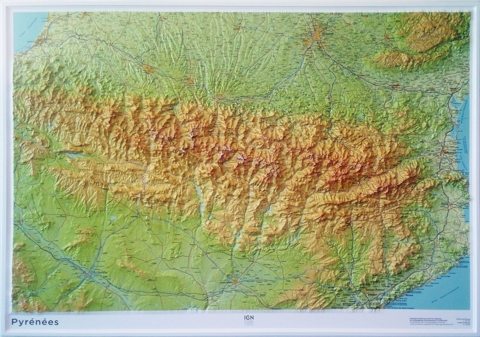
Hiking map - Montgrony, Fonts del Llobregat (Catalan Pyrenees) | Alpina
- Shipping within 24 working hours from our warehouse in France
- Shipping method and fees are shown at checkout
- Free returns (*)
- Real-time stock levels
- Low stock - 1 item left
Over 19,500 maps 🗺️ and travel guides, hiking maps, posters, globes, and décor items in stock!
Rated Excellent ⭐️ on Trustpilot — 9,000+ reviews from explorers and map lovers worldwide.
Explore the world, one map at a time 🗺️
Detailed hiking map of Sierra de Montgony and Fonts del Llobregat (Catalan Pyrenees). The detailed topographic map, published by Editorial Alpina, is in color with the level curves. P>
Map cover span>: Pre - Pyrenees Orientales with Sierra de Montgrony, Puigllançada, Costa Pubilla, Pedró de Tubau and Alto Llobregat Valley ( Berguedà and Ripollès) p>
Features span>: 1:25 000 scale map with different types of information including marked trails (GR, PR and SL), Paths, roads, shelters, caves, fountains, etc. The delivered folder with the map span> Includes:
p>
• Informational information
• Selection of routes
• Information about The Natural Park of Cadí Moixeró
• Top14 points of interest p>
ISBN/EAN : 9788470111242
Publication date: 2024
Scale: 1/25,000 (1cm=250m)
Printed sides: front
Folded dimensions: 21 x 12.5 x 1cm
Unfolded dimensions: 98 x 68cm
Language(s): English, Castilian, Catalan
Weight:
171 g
The exclusive newsletter for travel and discovery enthusiasts!