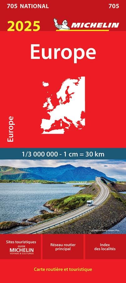
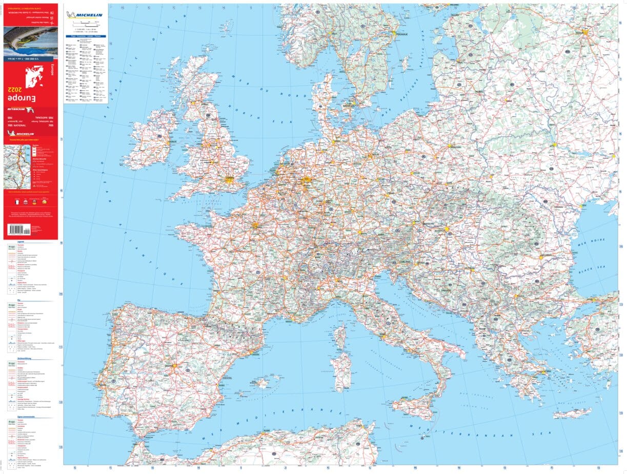
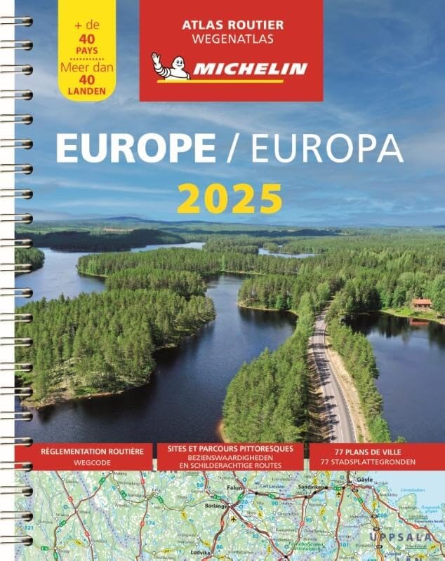
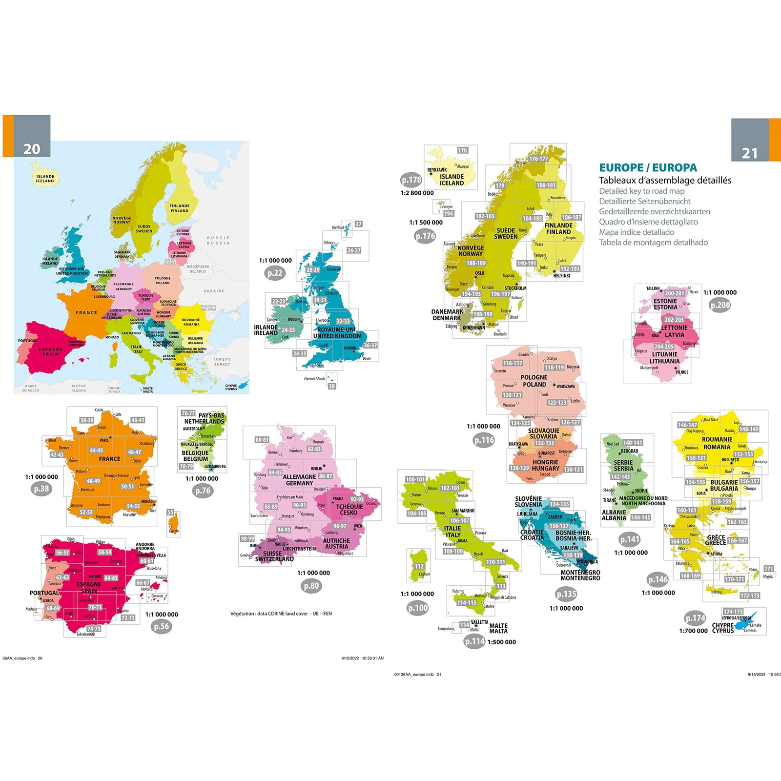
Travel map - Europe (Roads and railways) | ITM
- Shipping within 24 working hours from our warehouse in France
- Delivery costs calculated instantly in the basket
- Free returns (*)
- Real-time inventory
- In stock, ready to ship
Over 19,500 maps 🗺️ and travel guides, hiking maps, posters, globes, and decor in stock!
MapsCompany becomes Cartovia ✨ We tell you everything here 🗺️
Trusted by map lovers and explorers 🌏 in 80+ countries since 2010 ✅
From Ireland to Russia, from Scandinavia to Italy
This detailed map of European railways is an invaluable tool for anyone planning a train journey across Europe. It covers a vast area stretching from western Ireland to east Moscow, and from northern Scandinavia to southern Italy.
All passenger rail lines in Europe
Clear distinction between:
High-speed lines
Classic lines
Maritime routes (ferries) shown
Main road network : motorways and E-classified roads (European network)
Political map : each country is shown in a distinct color
Major urban areas are highlighted, using a system of points of different sizes and colours (e.g., London and Paris are represented by large orange circles).
Western Europe : Ireland, United Kingdom, France, Benelux, Spain, Portugal
Central and Eastern Europe : Germany, Austria, Switzerland, Poland, Czech Republic, Hungary, Slovakia, Baltic states, Western Russia
Southern Europe : Italy, Greece, Balkans
Northern Europe : Norway, Sweden, Finland, Denmark
ISBN/EAN : 9781771292733
Publication date: 2025
Scale: 1/3,350,000 (1 cm = 33 km)
Printed sides: both sides
Folded dimensions: 10 x 25 x 0.5 cm
Language(s): English
Weight:
50 g
The exclusive newsletter for travel and discovery enthusiasts!