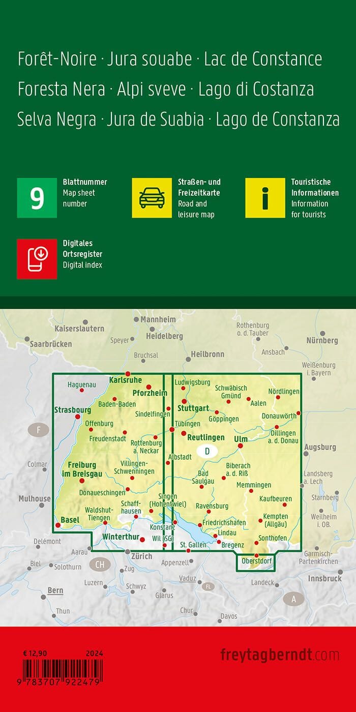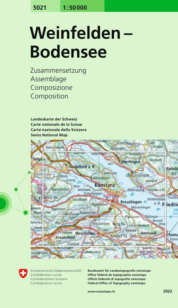
Topographic map No. 5021 - Weinfelde, Bodensee (Switzerland) | Swisstopo - 1/50 000
Regular price
2390 €
Regular price
Sale price
2390 €
/
- Shipping within 24 working hours from our warehouse in France
- Choose your delivery method and cost at checkout, before confirming your order.
- Free returns (*)
- Real-time inventory
- In stock, ready to ship