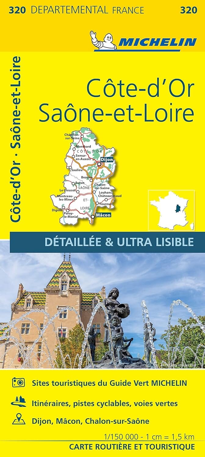
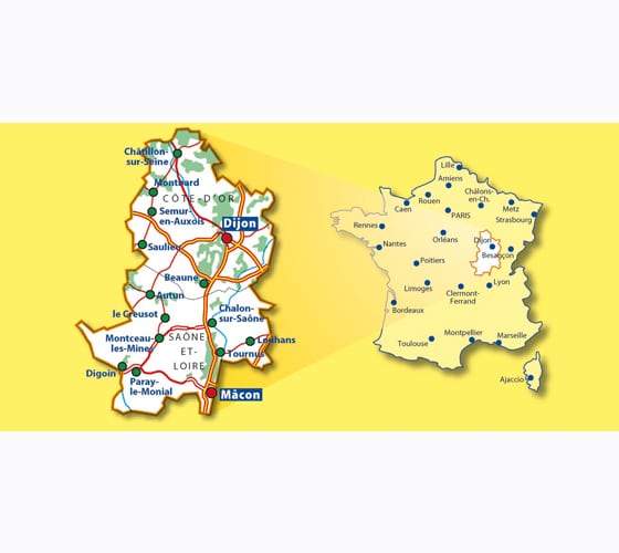
Small relief map - Saône-et-Loire - 21 x 31 cm

Price
Regular price 1595 €
Regular price Sale price 1595 €
/
  • Shipping method and fees are shown at checkout
  • Free returns (*)
  • Real-time stock levels
  • In stock, ready to ship
  • Backordered, shipping soon
Tax included.

Frequently bought together:

Small relief map of Saône-et-Loire showing all the communes of the department, the main watercourses, lakes, peaks and valleys.

  • Highest point: Le Haut Folin - 901 meters located in the commune of Saint Prix.
  • Location of the department: In Burgundy / Burgundy Franche-Comté region.
  • Elevation gain: from 168 to 901 meters.
  • Graphic scale: 1 cm = 5 km.


ISBN/EAN : 9782361680541
Printed sides: front
Unfolded dimensions: 21x31cm
Language(s): French
Weight: 50 g