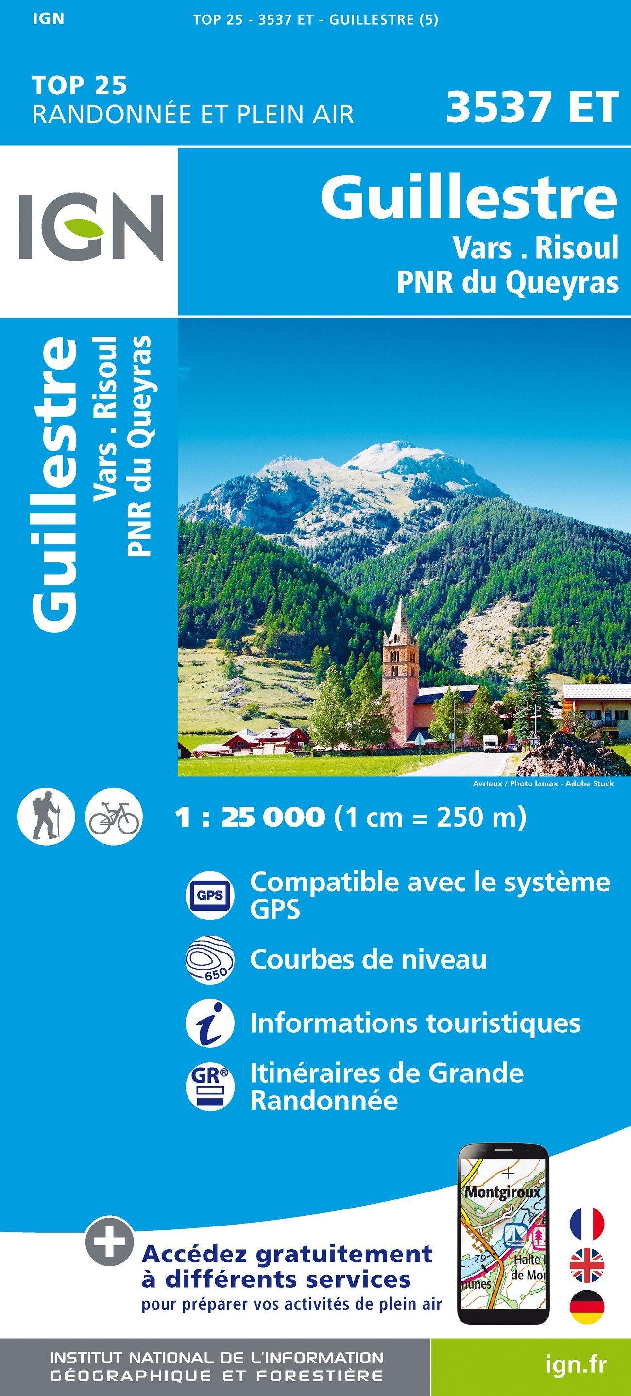
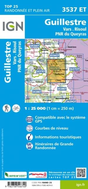
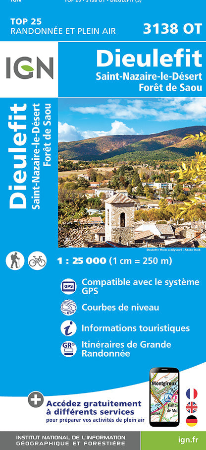
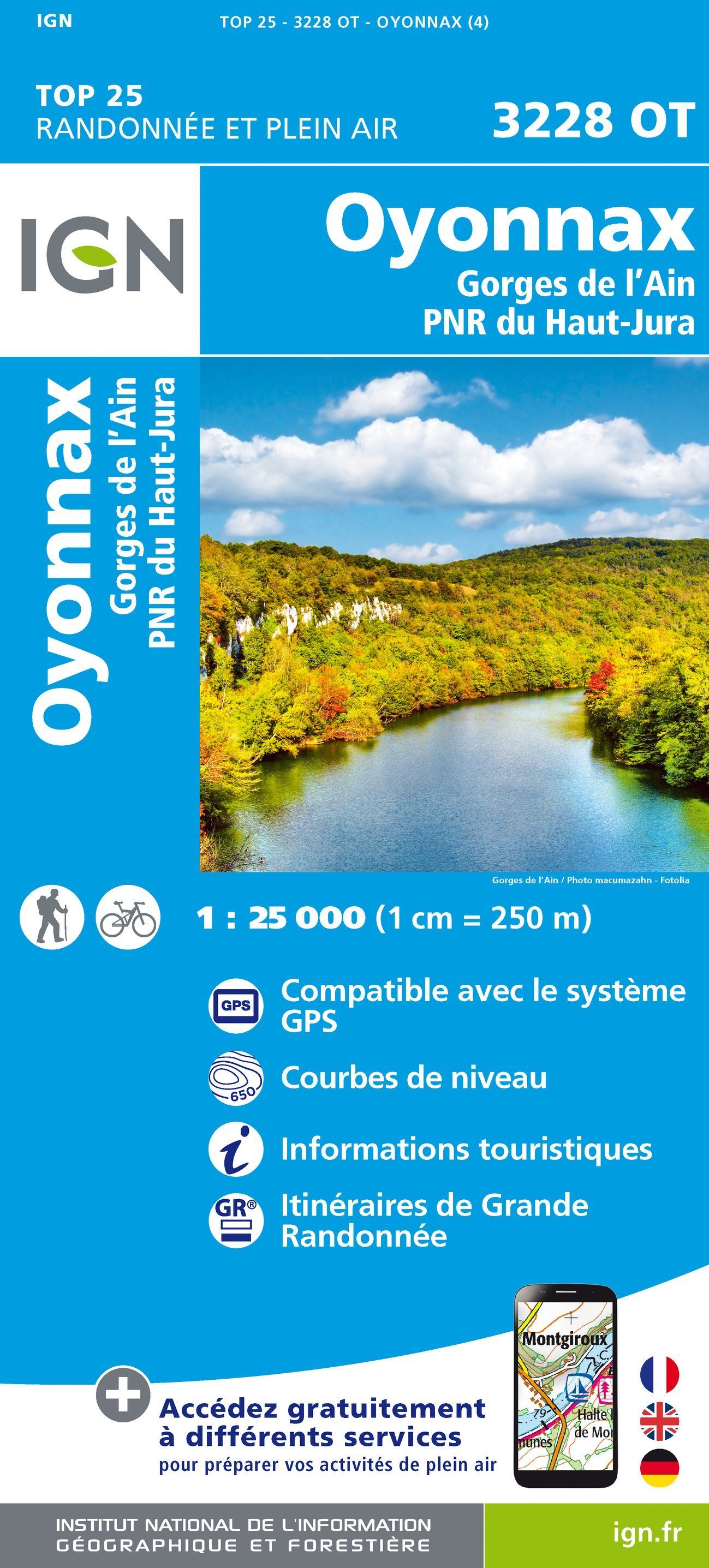
TOP 25 Map No. 3537 ET - Guillestre, Vars and Risoul (Queyras Regional Natural Park, Alps) | IGN

Price
Regular price 1410 €
Regular price Sale price 1410 €
/
  • Shipping within 24 working hours from our warehouse in France
  • Choisissez votre mode et vos frais de livraison à l’étape de paiement, avant de valider.
  • Retours gratuits (*)
  • Stocks en temps réel
  • In stock, ready to ship
  • Backordered, shipping soon
Tax included.

Souvent achetés ensemble :

Top 25 map around Guillestre, Vars and Risoul published by IGN. This detailed map covers part of the Queyras Regional Natural Park. This map extends from the Izoard Pass in Vars (from north to south), and the duration to Château - Queyras (West in East).

Hiking map with space curves spaced 10 meters and detailed legend (vegetation, rocks, streams etc ...). Indication of hiking trails.

Scale 1/25 000. GPS compatible.


ISBN/EAN : 9782758546740
Publication date: 2019
Scale: 1/25,000 (1cm=250m)
Printed sides: front
Folded dimensions: 23.6 x 11.2 x 0.5cm
Unfolded dimensions: 96 x 132cm
Language(s): French, English, German
Weight: 89 g