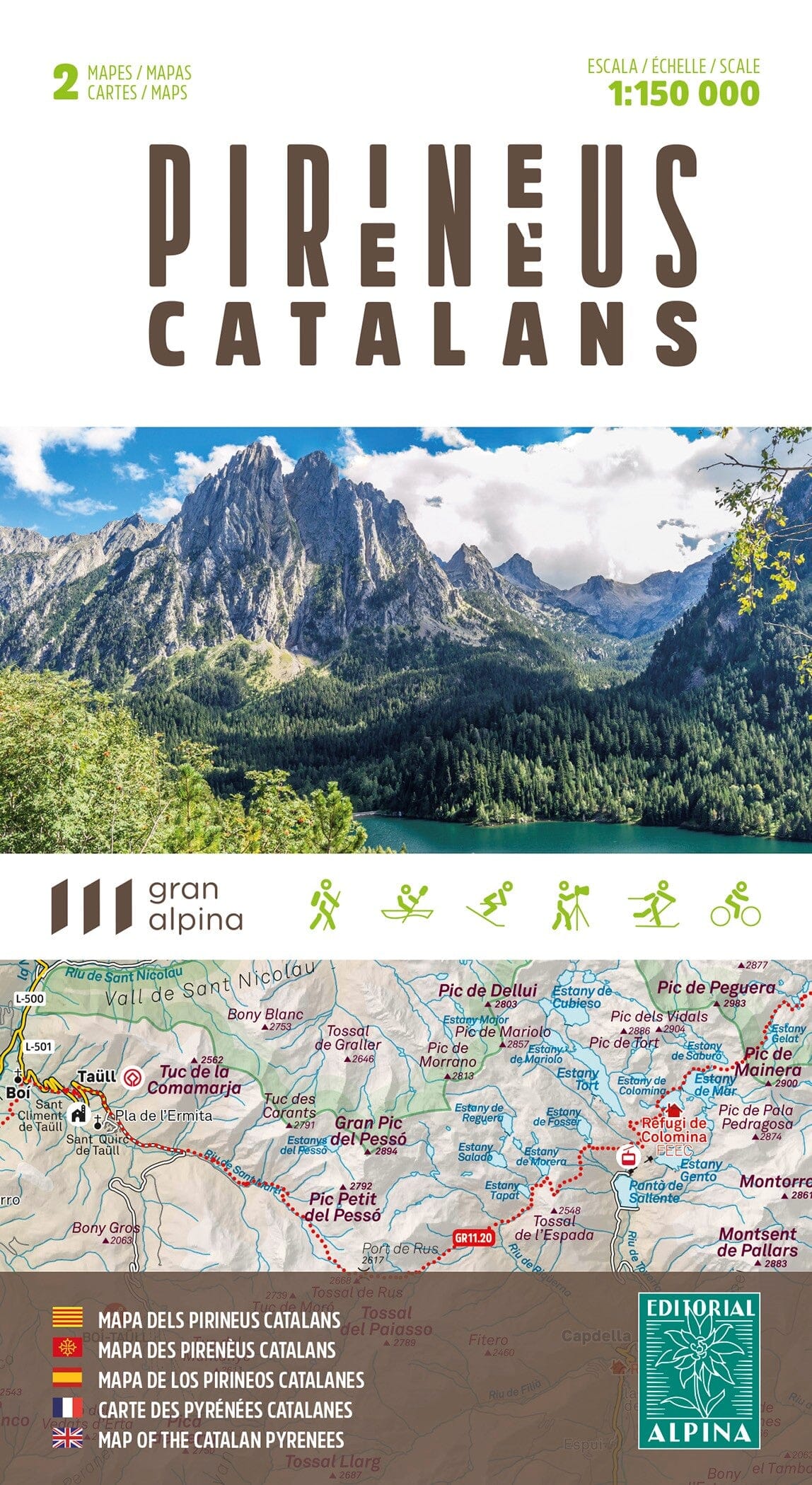
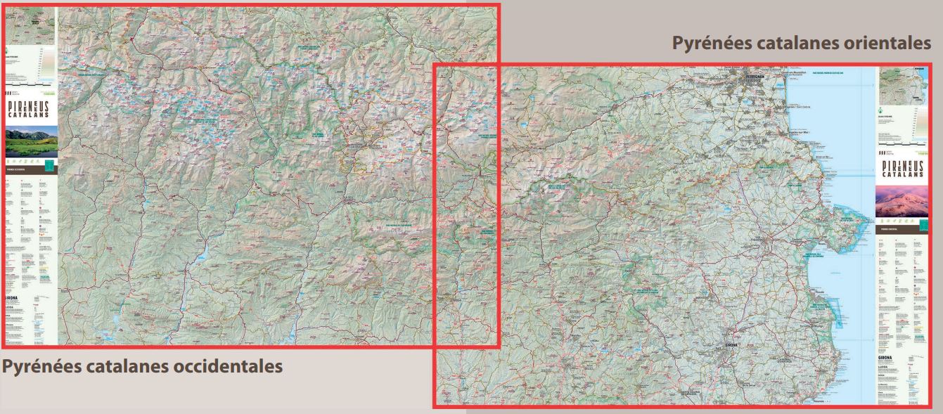
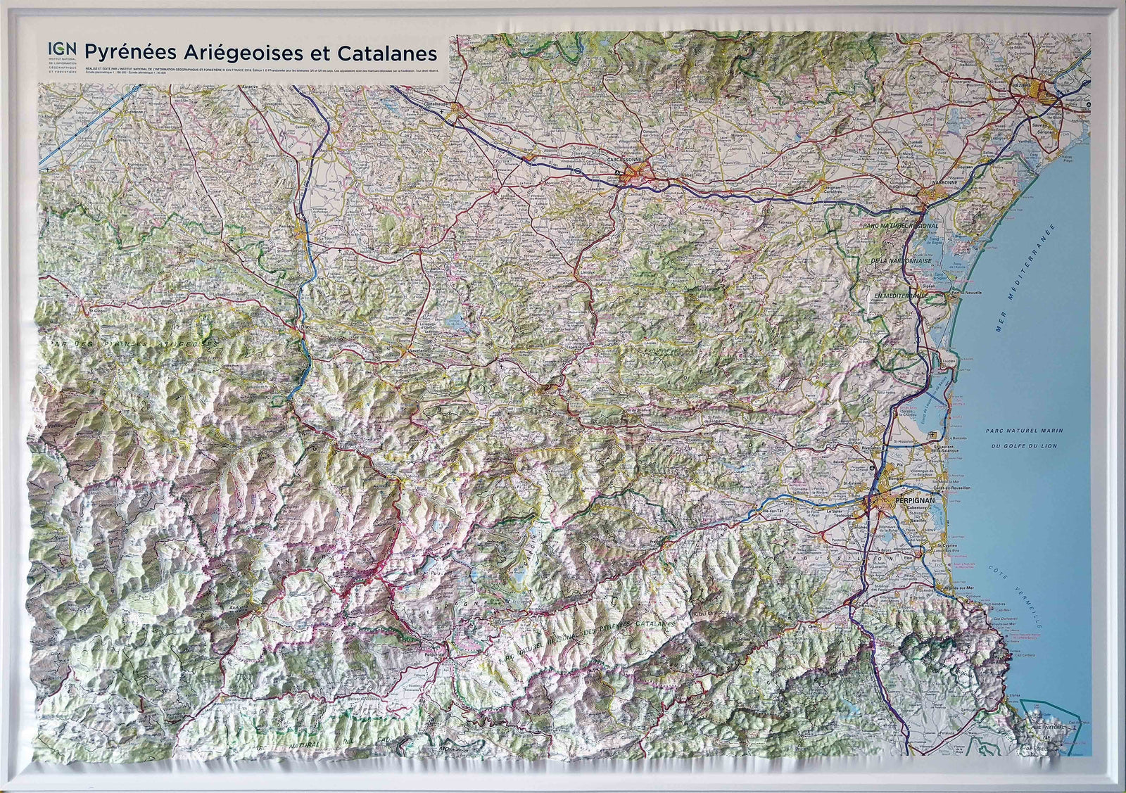
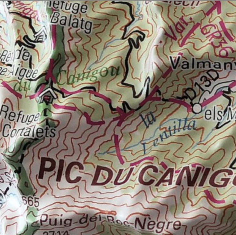
Set of 2 hiking maps - Cadi-Moixero Natural Park (Catalan Pyrenees) | Alpina

Price
Regular price 1650 €
Regular price Sale price 1650 €
/
  • Shipping within 24 working hours from our warehouse in France
  • Choisissez votre mode et vos frais de livraison à l’étape de paiement, avant de valider.
  • Retours gratuits (*)
  • Stocks en temps réel
  • In stock, ready to ship
  • Backordered, shipping soon
Tax included.

Souvent achetés ensemble :

Set of 2 detailed topographic maps of the Natural Park of Cadi-Moixero.

Map sector: Catalan Pyrenees. Parc Naturel Cadí - Moixeró (Berguedà, Cerdanya and Alt Urgell).

The detailed map, published by Editorial Alpina, is in color with the level curves and indicates the marked paths (GR, Berguedà path network, thematic itineraries), climbs, refuges, etc.

The folding flap includes:

• Must-miss sites

• Park Itineraries

• Information about the natural park

1:25,000 scale maps of the entire natural park of CadíMoixeró, made in collaboration with the park. For the first time, the entire protected area is grouped into only two leaves, from the Puigllançada and the Tosa to the Torreta de Cadí and the valley of the Vansa, passing through the Moixeró and Cadí channels, as well as the famous Pedraforca. 


ISBN/EAN : 9788470111839
Publication date: 2025
Scale: 1/25,000 (1cm=250m)
Printed sides: front
Folded dimensions: 21 x 11.5 x 1cm
Unfolded dimensions: 96.5 x 68cm
Language(s): Catalan, Castilian and English
Weight: 190 g