- Waterproof - Tear-Resistant - Topographic Map.
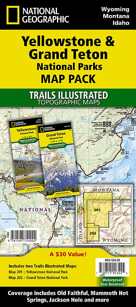
Looking for the best combination of detailed maps and value for your trip to the Yellowstone and Grand Teton region, get our bundle pack. It includes both Trails Illustrated maps of Yellowstone and Grand Teton National Parks, giving you coverage of the entire region while saving you over 15%. Like all Trails Illustrated maps, the Yellowstone Grand Teton Bundle is frequently revised and printed on waterproof, tear-resistant material to withstand all conditions. Includes UTM grids for use with your GPS device. Scales: 1:127,720, 1:80,000, 1:36,180.
Contains maps:
202 (ML Code: 2034663M)
201 (ML Code: 2034681M)
ISBN/EAN : 9781597754002
Publication date: 2019
Scale: 1/126,720 & 1/80,000
Printed sides: both sides
Folded dimensions: 9.45 x 4.33 inch / 24 x 11cm
Unfolded dimensions: 36.22 x 24.8 inches / 92 x 63cm
Language(s): English
Weight:
6.8 oz
