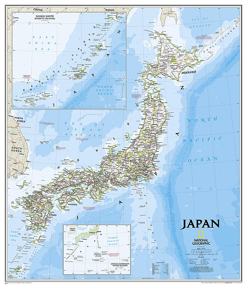
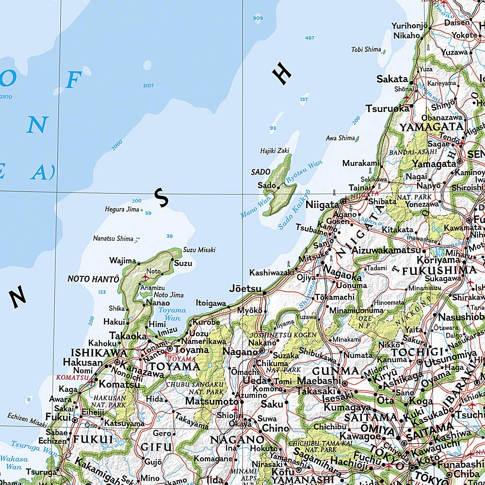
Hiking Map - Rishiri Island, Rebun Island, Shiretoko Peninsula, Mt. Rausu, Mt. Shari, Mt. Oakan, Mt. Meakan | Mapple

Price
Regular price 1725 €
Regular price Sale price 1725 €
/
  • Shipping within 48 business hours from our warehouse in the USA. For this product, customs fees may be requested by the carrier upon delivery.
  • Choose your delivery method and cost at checkout, before confirming your order.
  • Free returns (*)
  • Real-time inventory
  • In stock, ready to ship
  • Backordered, shipping soon
Tax included.

Often purchased together:

This map is part of the topographic reference series for hiking in Japan, acclaimed for half a century. The 2025 edition covers the wild islands of Rishiri and Rebun, the spectacular Shiretoko Peninsula, and famous peaks such as Mount Rausu and Mount Meakan.

A reliable and ultra-detailed map
Based on precise field surveys, it indicates trails, ridges, valleys, shelters, water sources, risk zones, and landmarks. Difficult passages and complex intersections are detailed with enlarged maps and explanatory diagrams.

Printed magnetic north lines
For accurate compass navigation, the magnetic north lines are already drawn.

Waterproof and tear-resistant paper
Printed on a weather-resistant and abrasion-resistant substrate, ideal for demanding conditions.

Accompanying booklet included
A visual guide with:

  • Suggested routes (day hikes or multi-day treks)

  • Estimated durations, altitude profiles and distances

  • Access to trailheads

  • Articles about local nature and culture

Ideal for:
Hikers, solo trekkers, lovers of wide open spaces and explorers of wild Hokkaido.


ISBN/EAN : 9784398771711
Publication date: 2025
Scale: 1/50,000 (1cm=500m)
Folded dimensions: 22 x 31"
Language(s): Japanese
Weight: 99 g