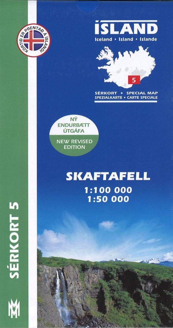
This title from Mal og Menning provides topographical and hiking details for the Skaftafell Wilderness Area in Vatnajokull National Park. The front of the map shows a scale of Skaftafell at 1:50,000, while the back shows another map of the same area (1:50,000), along with information on the birds that can be seen in the area.
All elevations are indicated in meters, with 100-meter contours on the 1:100,000 map and 20-meter contours on the 1:50,000 map.
The map key is very detailed and includes references to: farms, churches, campsites, schools, swimming pools, summer houses, golf courses, ruins, and...
deserted courtyards,
.
The map key is in English, Icelandic, German, and French.
