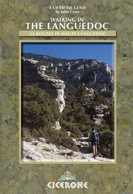
Hiking guide - Languedoc: 31 Roads in the High Languedoc | Cicerone
- Shipping within 24 working hours from our warehouse in France
- Shipping method and fees are shown at checkout
- Free returns (*)
- Real-time stock levels
- Low stock - 1 item left
Over 19,500 maps 🗺️ and travel guides, hiking maps, posters, globes, and décor items in stock!
Over 19,500 maps 🗺️ and travel guides, hiking maps, posters, globes, and décor items in stock!
Rated Excellent ⭐️ on Trustpilot — 9,000+ reviews from explorers and map lovers worldwide.
Rated Excellent ⭐️ on Trustpilot — 9,000+ reviews from explorers and map lovers worldwide.
Explore the world, one map at a time 🗺️
Explore the world, one map at a time 🗺️

Pocket Topoguide (English) of the Cicerone Editor with Detailed Sheets for Hiking in the high - languedoc.
Description provided by the publisher:
The Languedoc has for Too Long Been in The Shadow of Provence. Sharing The Same Mediterranean Climate and Vegetation, It Is A Quiet, Beautiful Place Which Retains More Than a Hint of the Old France. Within this Little Known Area, The High Languedoc Mountains Offer Wonderful Scenery and Excellent Walking. Although Remote, The Area Is Well Provided with Footpaths on Which IT is Rare to See Another Person All Day. The Region is Full of Variety, with Limestone Scenery to the North and East Gentle, Heavily Wooded Foothills Further South and The Warm Mediterranean Plain With Its Lush Vineyards, The Book Provids walks of Hikers of All Standards. And, Being France, a fine dinner awaits you at the end of the day. - 31 Circular Roads (6 to 20 km in Length), All Graded for Difficulty. - Includes The Solid Espinouse (Containing The Summits of Espinouse, Somail and Caroux, All Just Over 1000m), The Lake Salagou and The Hérault River Valley.
ISBN/EAN : 9781852845230
Publication date: 2007
Folded dimensions: 12 x 17cm
Language(s): English
Weight:
193 g
The exclusive newsletter for travel and discovery enthusiasts!


