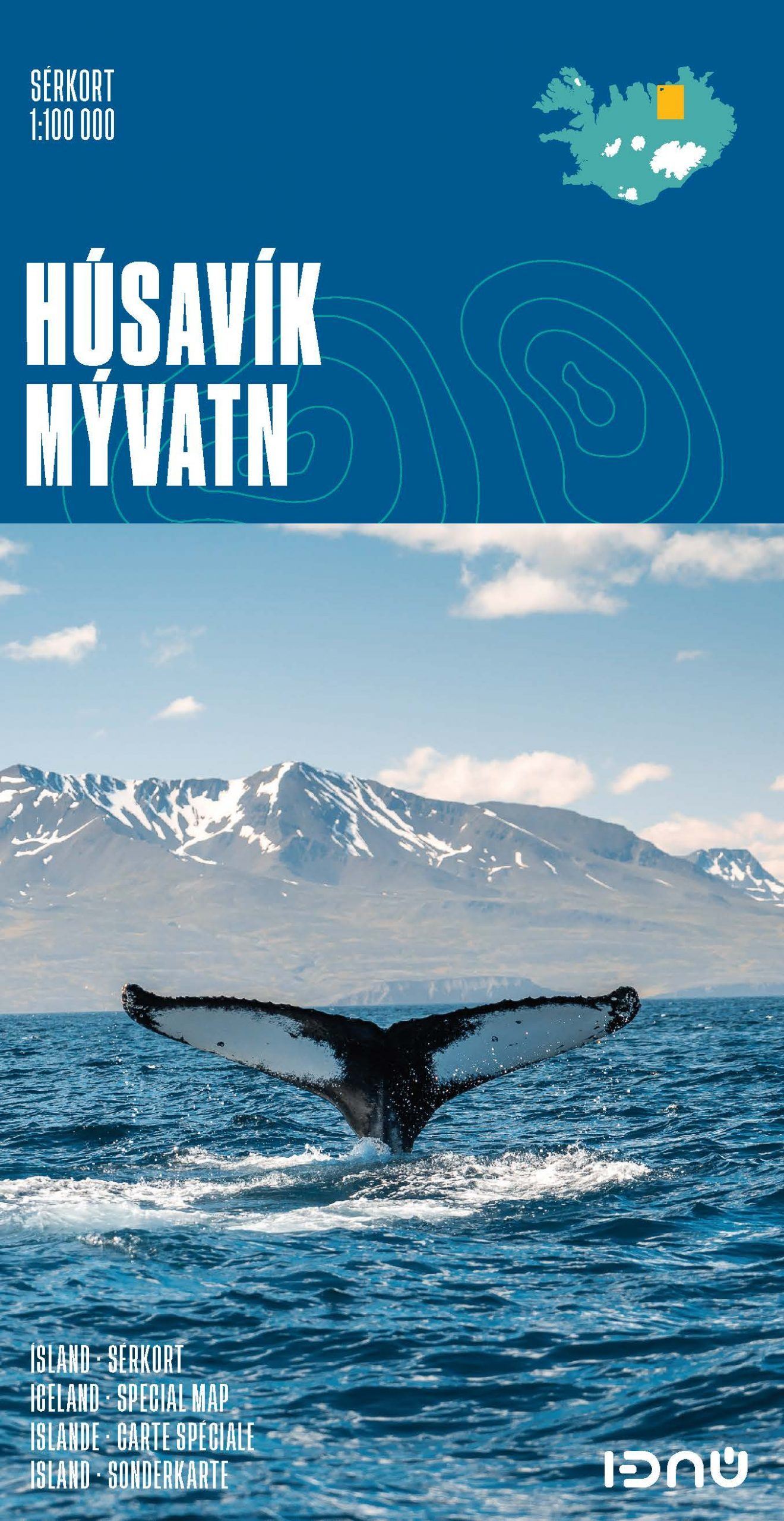
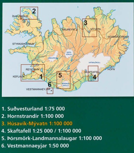
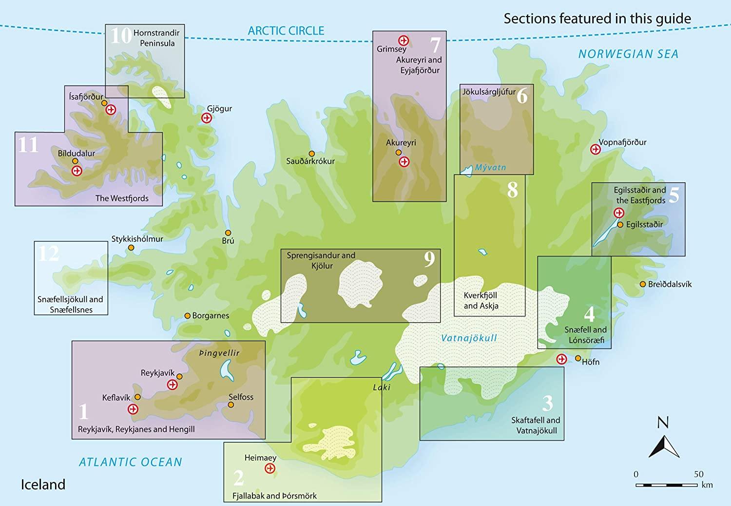
Detailed map - Husavik and Lake Myvatn (Iceland) | Ferdakort
- Shipping within 24 working hours from our warehouse in France
- Shipping method and fees are shown at checkout
- Free returns (*)
- Real-time stock levels
- In stock, ready to ship
Over 19,500 maps 🗺️ and travel guides, hiking maps, posters, globes, and décor items in stock!
Rated Excellent ⭐️ on Trustpilot — 9,000+ reviews from explorers and map lovers worldwide.
Explore the world, one map at a time 🗺️
Topographic map of Lake Myvatn published by Ferdakort (Serkort Series). This detailed map covers the Myvatn Lake area to the city of Husavik on the North Coast of Iceland. This map includes the city of Húsavík, the Aðaldalur Valley and the Mývatn region, as well as Jökulsárgljúfur National Park. Level curves and hiking trails indicated, as well as roads and tracks. P>
This detailed map of Iceland is protected by a laminated case. p>
Scale 1: 100,000 (1 cm = 1 km). p>
ISBN/EAN : 9789979675136
Publication date: 2021
Scale: 1/100,000 (1cm=1km)
Printed sides: front
Folded dimensions: 23.2 x 12.8cm
Unfolded dimensions: 62 x 84.5cm
Language(s): French, English, German, Icelandic
Weight:
75 g
je suis très satisfaite; la commande est parvenue dans les délais et correspondait parfaitement à ce que je désirais
The exclusive newsletter for travel and discovery enthusiasts!