Hiking map No. 2 - East Flanders and Hainaut | Alta Via
- Shipping within 24 working hours from our warehouse in France
- Shipping method and fees are shown at checkout
- Free returns (*)
- Real-time stock levels
- In stock, ready to ship
Over 19,500 maps 🗺️ and travel guides, hiking maps, posters, globes, and décor items in stock!
Over 19,500 maps 🗺️ and travel guides, hiking maps, posters, globes, and décor items in stock!
Rated Excellent ⭐️ on Trustpilot — 9,000+ reviews from explorers and map lovers worldwide.
Rated Excellent ⭐️ on Trustpilot — 9,000+ reviews from explorers and map lovers worldwide.
Explore the world, one map at a time 🗺️
Explore the world, one map at a time 🗺️
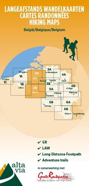
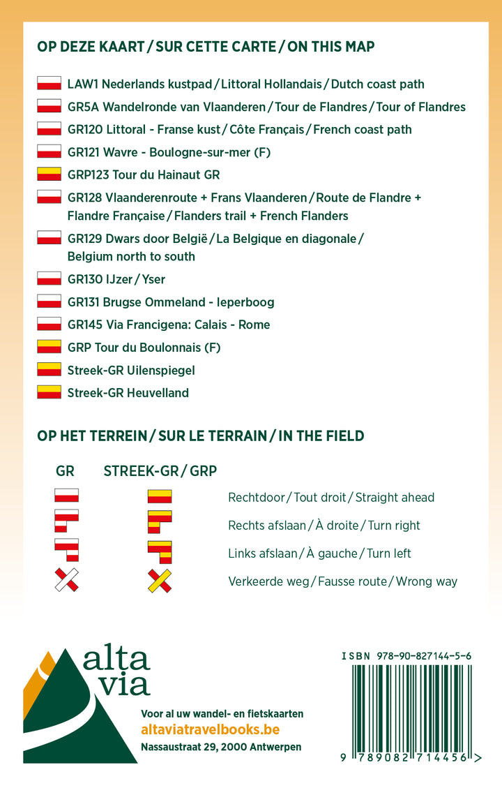
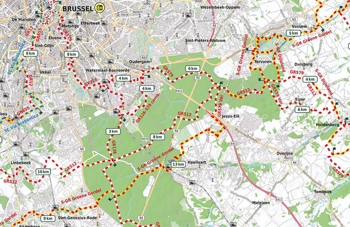
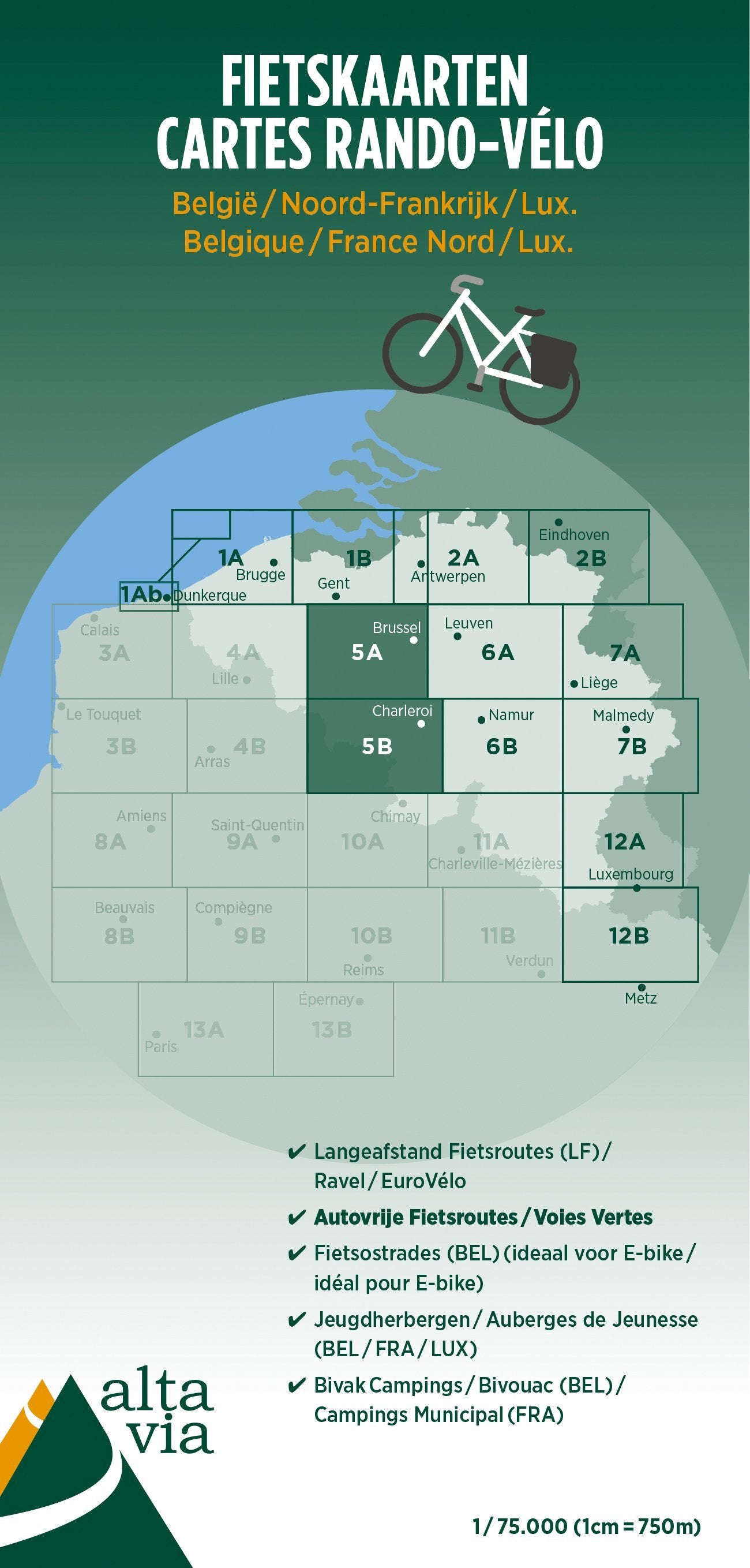
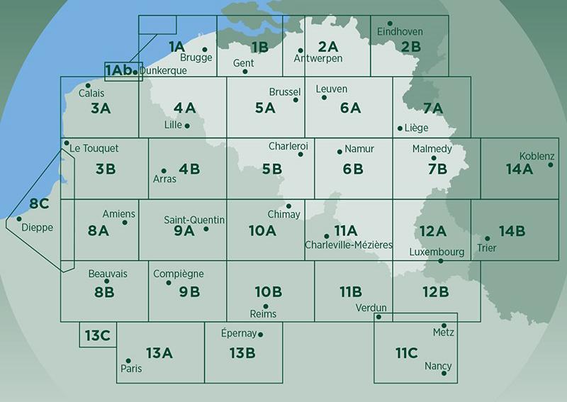
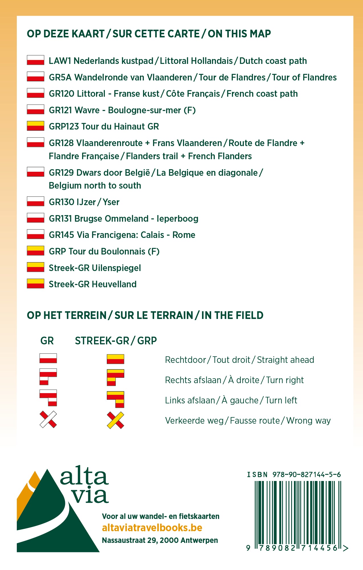
Hiking map of East Flanders and Hainaut published by Alta Via, which focuses on the GR, the regional GR, the Compostela Via, GTA, and Eisleck Trail routes.
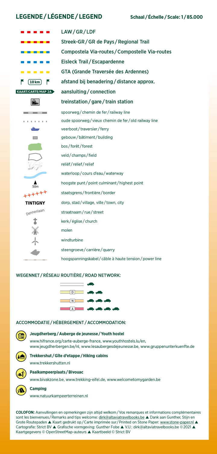
On the map, you will also find kilometer indications and all train stations, as well as youth hostels, hikers' cabins, stilt campsites, and campgrounds.
The scale is 1:85,000 (1 cm = 850 m).
ISBN/EAN : 9789082844351
Publication date: 2021
Scale: 1/85000 (1cm=850m)
Language(s): French, English, Flemish
Weight:
80 g
The exclusive newsletter for travel and discovery enthusiasts!
