Carte des loisirs de l'ouest de la Caroline du Nord | GM Johnson carte routière GM Johnson Default Title

Western North Carolina Recreation Map | GM Johnson

Price
Regular price 852 €
Regular price Sale price 852 €
/
  • Shipping within 48 business hours from our warehouse in the USA. For this product, customs fees may be requested by the carrier upon delivery.
  • Choisissez votre mode et vos frais de livraison à l’étape de paiement, avant de valider.
  • Retours gratuits (*)
  • Stocks en temps réel
  • In stock, ready to ship
  • Backordered, shipping soon
Tax included.

Souvent achetés ensemble :

Map coverage area
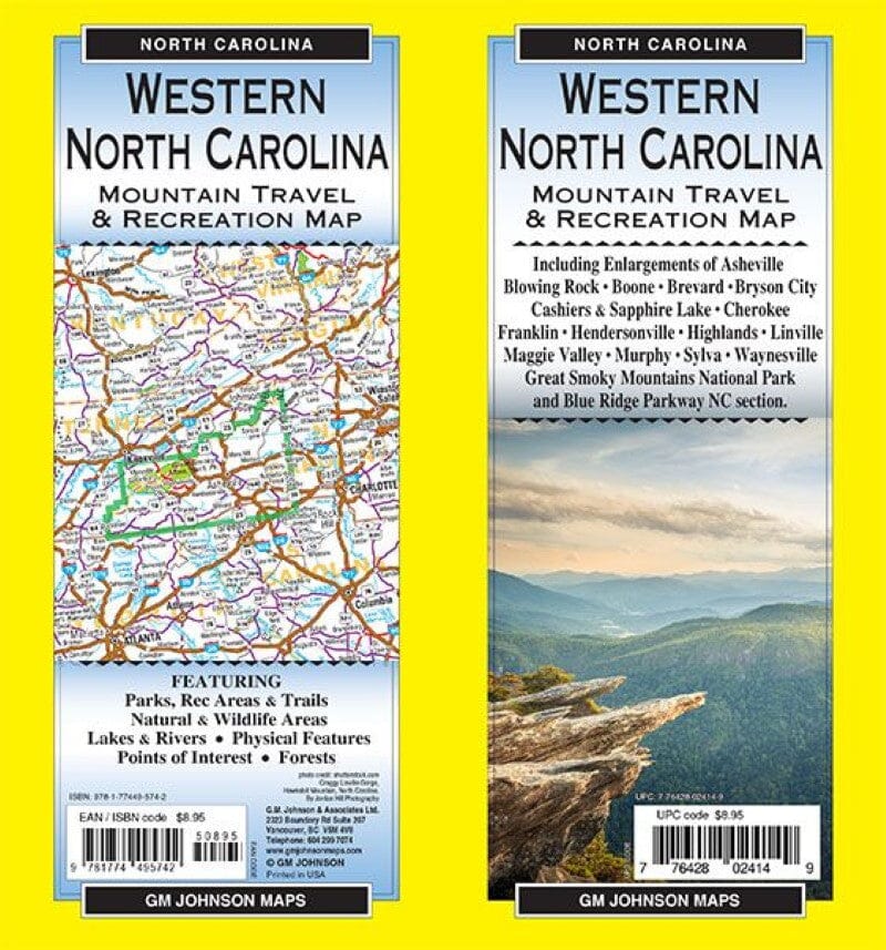
Including enlargements of:

Asheville, Blowing Rock, Boone, Brevard, Bryson City, Cashiers & Sapphire Lake, Cherokee, Franklin, Hendersonville, Highlands, Linville, Maggie Valley, Murphy, Sylva, Waynesville, Great Smoky Mountains National Park and Blue Ridge Parkway NC Section .

COMPRISING:
Parks, Recreation Areas and Trails, Natural and Wild Areas, Lakes and Rivers, Physical Features, Points of Interest, Forests.

Photo credit:
shutterstock.com
Linville Gorge, Hawksbill Mountain, North Carolina.
By Jordan Hill Photography

ISBN/EAN : 9781774495742
Publication date: 2024
Folded dimensions: 9 x 4"
Language(s): English
Weight: 43 g