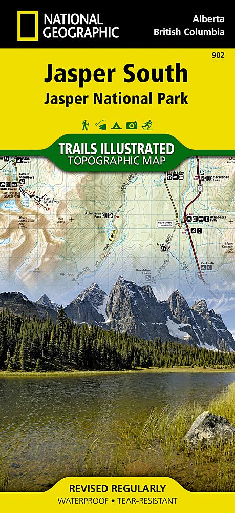
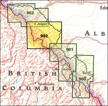
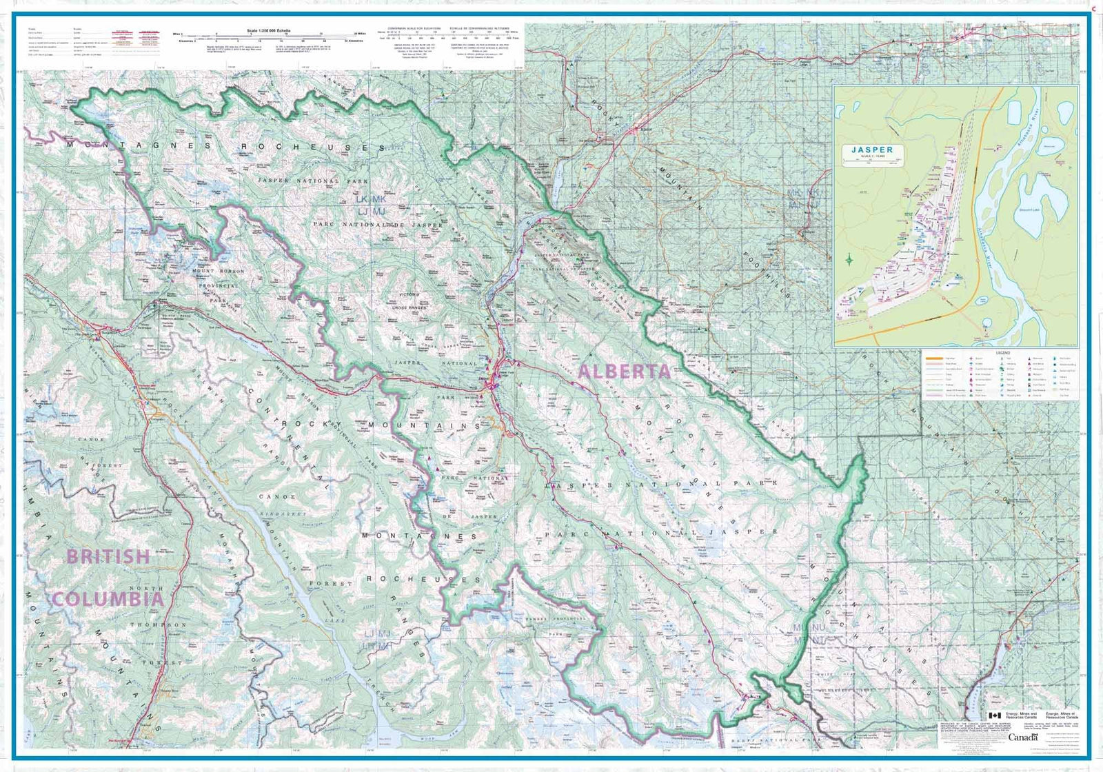
Hiking map No. 902 - Jasper National Park (South) | National Geographic
- Shipping within 24 working hours from our warehouse in France
- Shipping method and fees are shown at checkout
- Free returns (*)
- Real-time stock levels
- In stock, ready to ship
Over 19,500 maps 🗺️ and travel guides, hiking maps, posters, globes, and décor items in stock!
Rated Excellent ⭐️ on Trustpilot — 9,000+ reviews from explorers and map lovers worldwide.
Explore the world, one map at a time 🗺️
Topographic map of El the southern part of Jasper National Park (Canadian Rockies) published by National Geographic. Level curves, indication of trekking paths, places of accommodation (campsites), bases of range. The map covers the park from the city of Jasper and the Victoria mountain range to the southern boundary of the National Park. It includes sites such as Athabasca and Sunwapta Falls, Canyon and Maligne Lake, the Icefield Center and Lake Medicine. The Mount Robson, and the Whitehorse Wildland and Hamber Provincial Parks, the closer the northwestern corner of Banff National Park with the Colombia Icefield. P>
Detailed map waterproof and tearing resistant. strong> p>
1/100 000 scale (1 cm = 1 km) p>
ISBN/EAN : 9781566956604
Publication date: 2020
Scale: 1/100,000 (1cm=1km)
Printed sides: both sides
Folded dimensions: 23.5 x 10.9cm
Unfolded dimensions: 95x65cm
Language(s): English
Weight:
89 g
Parfait
The exclusive newsletter for travel and discovery enthusiasts!