Travel map - Equatorial Africa | ITM
- Shipping within 24 working hours from our warehouse in France
- Shipping method and fees are shown at checkout
- Free returns (*)
- Real-time stock levels
- Low stock - 1 item left
Plus de 19 500 cartes 🗺️ et guides de voyage, cartes de randonnée, posters, globes, déco en stock !
Plus de 19 500 cartes 🗺️ et guides de voyage, cartes de randonnée, posters, globes, déco en stock !
La Compagnie des Cartes devient Cartovia ✨ Notée Excellent ⭐️ sur Trustpilot (9 000+ avis).
Livraison gratuite pour toute commande > 50 € (cartes pliées et guides, France métropolitaine)
Livraison gratuite pour toute commande > 50 € (cartes pliées et guides, France métropolitaine)
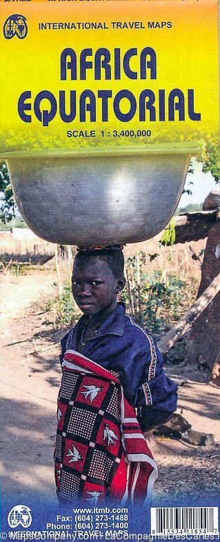
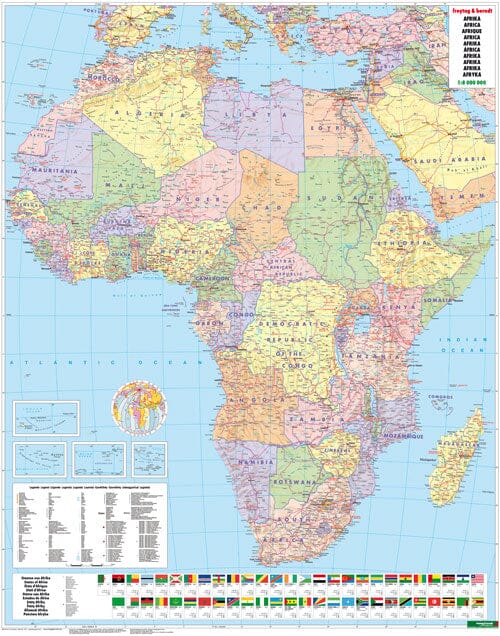
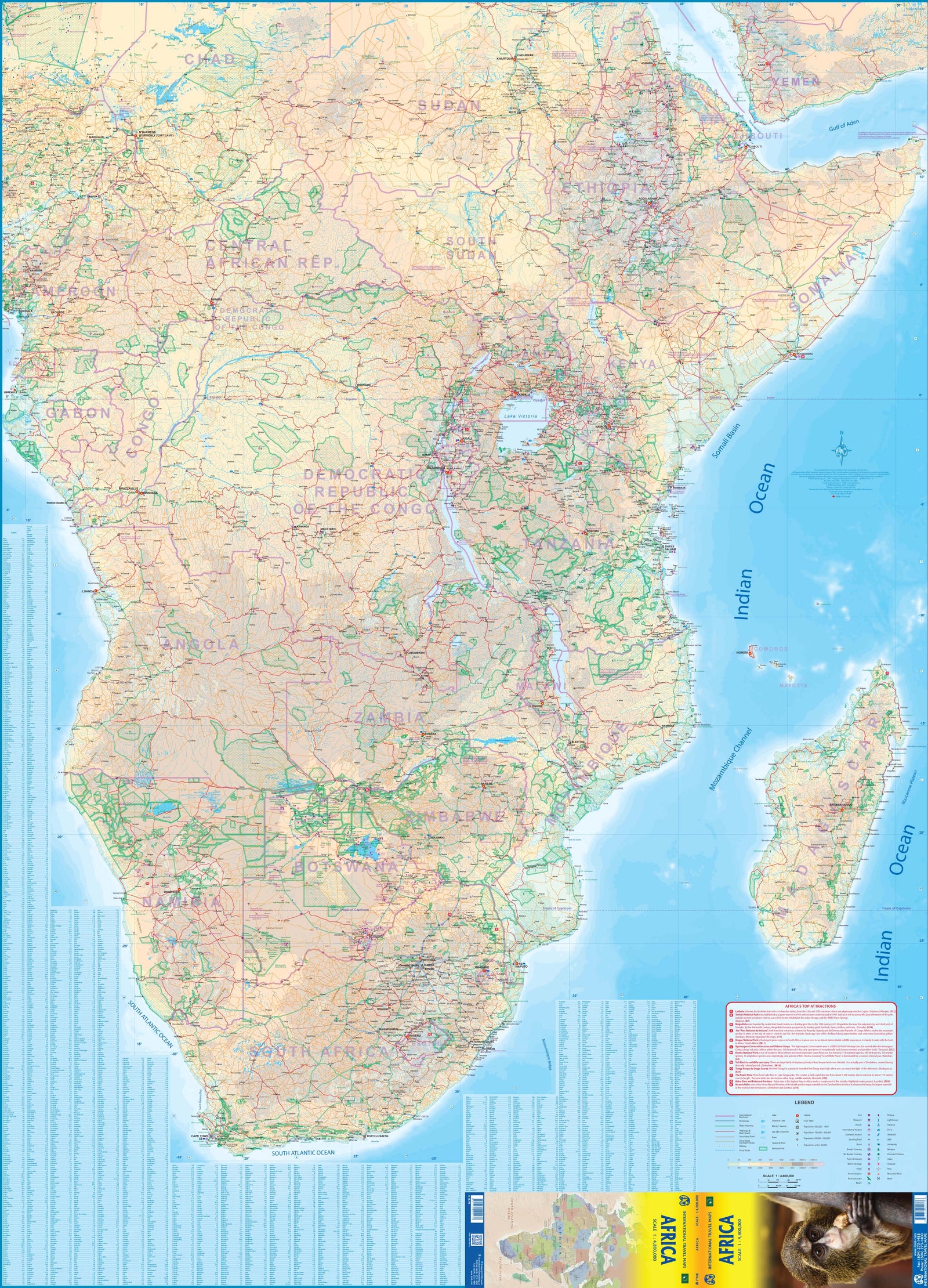
Map of Equatorial Africa published by ITM. This map covers the southern part of Nigeria / Cameroon, including Angola, Zambia, Malawi, Tanzania, Gabon, Congo and the Democratic Republic of Congo, Kenya, Uganda.
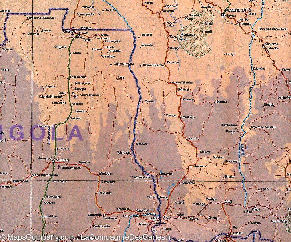
Indication of distances, urban areas, facilities, parks and attractions. The secondary roads are indicated as well as elements of the relief (lakes, waterfalls ...) and the points of interest.
Scale 1/3 400 000.
ISBN/EAN : 9781553411857
Publication date: 2014
Scale: 1/3,400,000 (1cm=34km)
Printed sides: both sides
Folded dimensions: 24.6 x 10.3 x 0.5cm
Unfolded dimensions: 100 x 68cm
Language(s): English
Weight:
52 g
L'infolettre exclusive des passionnés de voyage et de découverte !


