Road map No. 6 - Wales & West Midlands | Ordnance Survey - Road
- Shipping within 24 working hours from our warehouse in France
- Shipping method and fees are shown at checkout
- Free returns (*)
- Real-time stock levels
- In stock, ready to ship
Over 19,500 maps 🗺️ and travel guides, hiking maps, posters, globes, and décor items in stock!
Over 19,500 maps 🗺️ and travel guides, hiking maps, posters, globes, and décor items in stock!
Rated Excellent ⭐️ on Trustpilot — 9,000+ reviews from explorers and map lovers worldwide.
Rated Excellent ⭐️ on Trustpilot — 9,000+ reviews from explorers and map lovers worldwide.
Explore the world, one map at a time 🗺️
Explore the world, one map at a time 🗺️
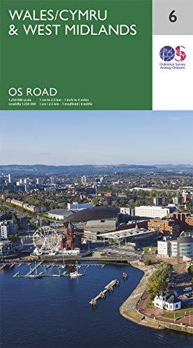
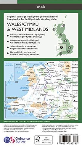
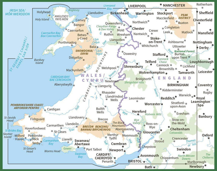
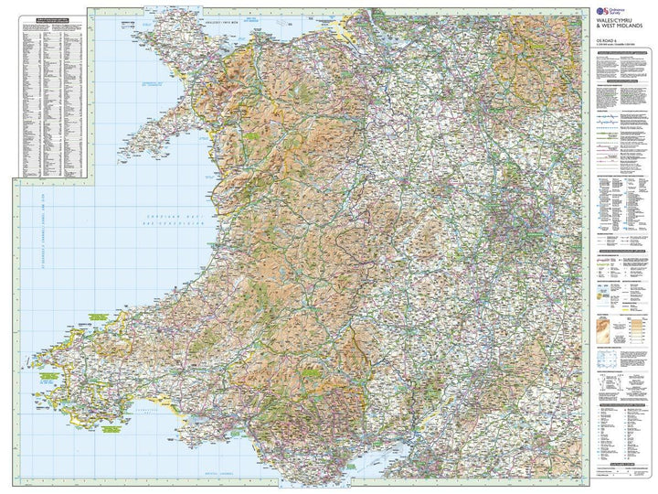
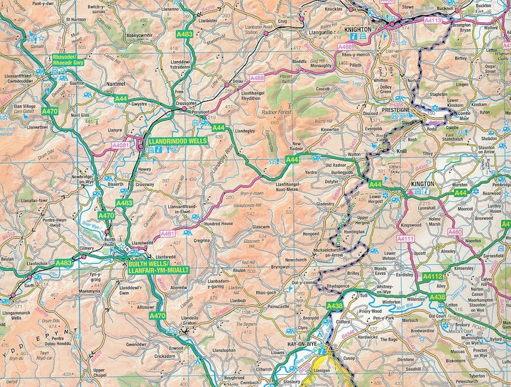
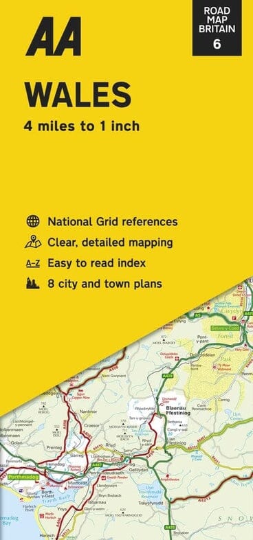
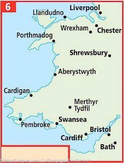
Western detailed map of Midlands and Wales published by Ordnance Survey. Highlighting National Parks and Forests, Relief etc. The map extends to the north to Liverpool and the southern part of the Peak District National Park, east to Sheffield and Coventry, and to the south to Bristol.
Scale 1: 250.000 (1 cm = 2.5 km).
ISBN/EAN : 9780319263785
Publication date: 2020
Scale: 1/250,000 (1cm=2.5km)
Printed sides: front
Folded dimensions: 13.5 x 24cm
Unfolded dimensions: 125 x 98cm
Language(s): English
Weight:
128 g
La carte routière Michelin 503 "Wales & South West England" à l'échelle 1/400 000 ne montre pas toutes les petites localités (comme Bronygarth à l'ouest de Chrik où nous avons RdV. Cette carte Ordnance Survey à l'échelle 1/250 000 (comme celle de l'Automobile Association AA) est vraiment complète et bien lisible.
Bonne carte, assez précise pour un circuit en voiture avec les petites routes. Pas pour les chemins de randonnée.
Carte de bonne qualité, avec une échelle détaillée. On ouvre la carte en deux pour avoir tout le pays. Très contente.
The exclusive newsletter for travel and discovery enthusiasts!
