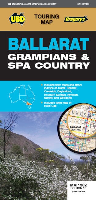
Detailed map No. 382 - Ballarat & Grampians (Victoria) | UBD Gregory's
- Shipping within 24 working hours from our warehouse in France
- Shipping method and fees are shown at checkout
- Free returns (*)
- Real-time stock levels
- In stock, ready to ship
Over 19,500 maps 🗺️ and travel guides, hiking maps, posters, globes, and décor items in stock!
Rated Excellent ⭐️ on Trustpilot — 9,000+ reviews from explorers and map lovers worldwide.
Explore the world, one map at a time 🗺️
The Grampian Ballarat Spa Country Map is a regional tourist map covering Harcourt & Amp Campbells Bridge north, Cressy south, Romsey in the East and Wartook and Dunkeld in the West. It includes:
- a map and an index of the streets of Ballarat
- Aaps Ararat, Daylesford and Hepburn Springs, Gap Halls, Kyneton, Stawell and Woodend
- and a list of tourist attractions regional. p>
ISBN/EAN : 9780731932979
Publication date: 2022
Scale: 1/25,000 (1cm=250m)
Printed sides: both sides
Folded dimensions: 25 x 11.5cm
Unfolded dimensions: 69 x 100cm
Language(s): English
Weight:
80 g
The exclusive newsletter for travel and discovery enthusiasts!