Hiking map - Waterton Lakes National Park | Gem Trek
- Shipping within 24 working hours from our warehouse in France
- Shipping method and fees are shown at checkout
- Free returns (*)
- Real-time stock levels
- In stock, ready to ship
Over 19,500 maps 🗺️ and travel guides, hiking maps, posters, globes, and décor items in stock!
Over 19,500 maps 🗺️ and travel guides, hiking maps, posters, globes, and décor items in stock!
Rated Excellent ⭐️ on Trustpilot — 9,000+ reviews from explorers and map lovers worldwide.
Rated Excellent ⭐️ on Trustpilot — 9,000+ reviews from explorers and map lovers worldwide.
Explore the world, one map at a time 🗺️
Explore the world, one map at a time 🗺️
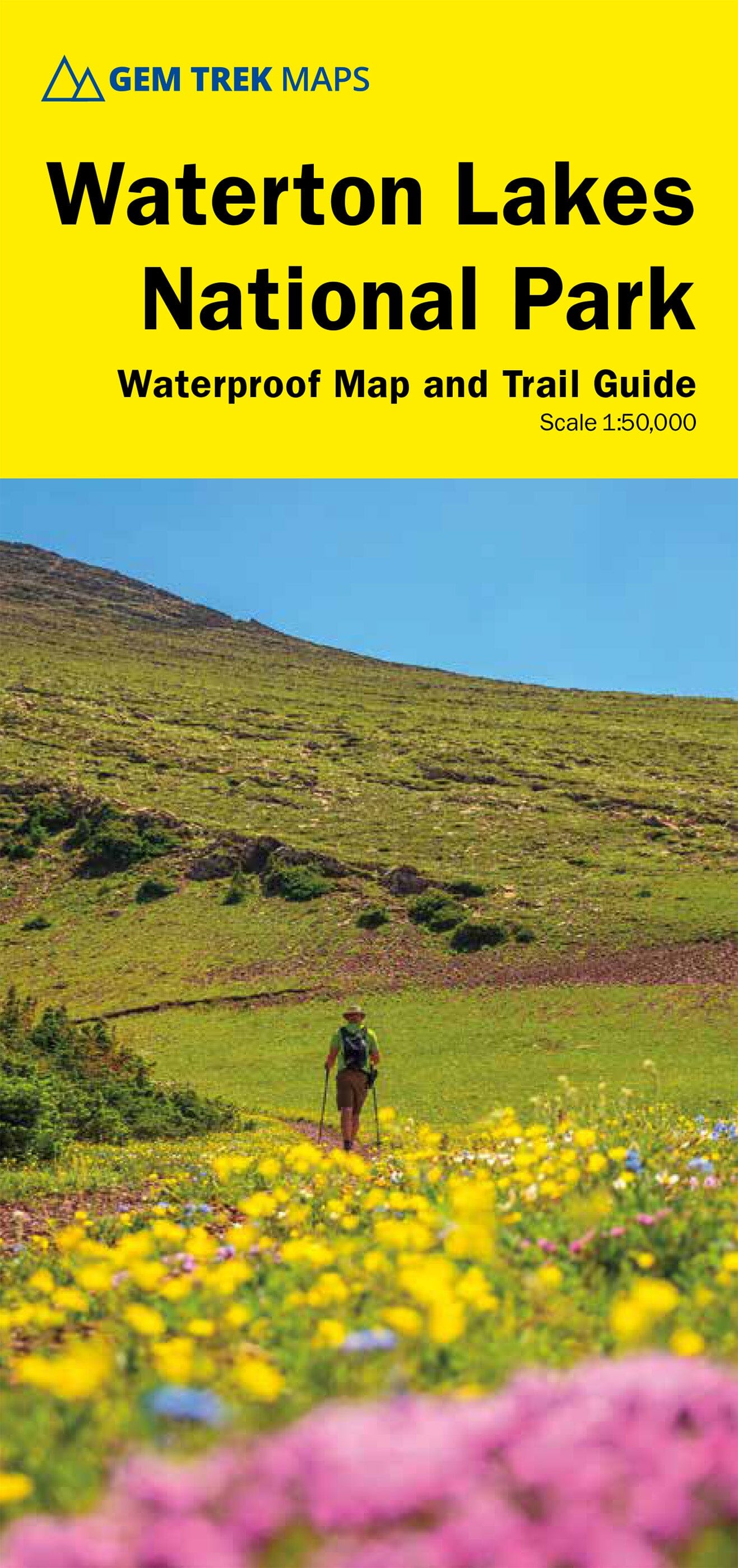
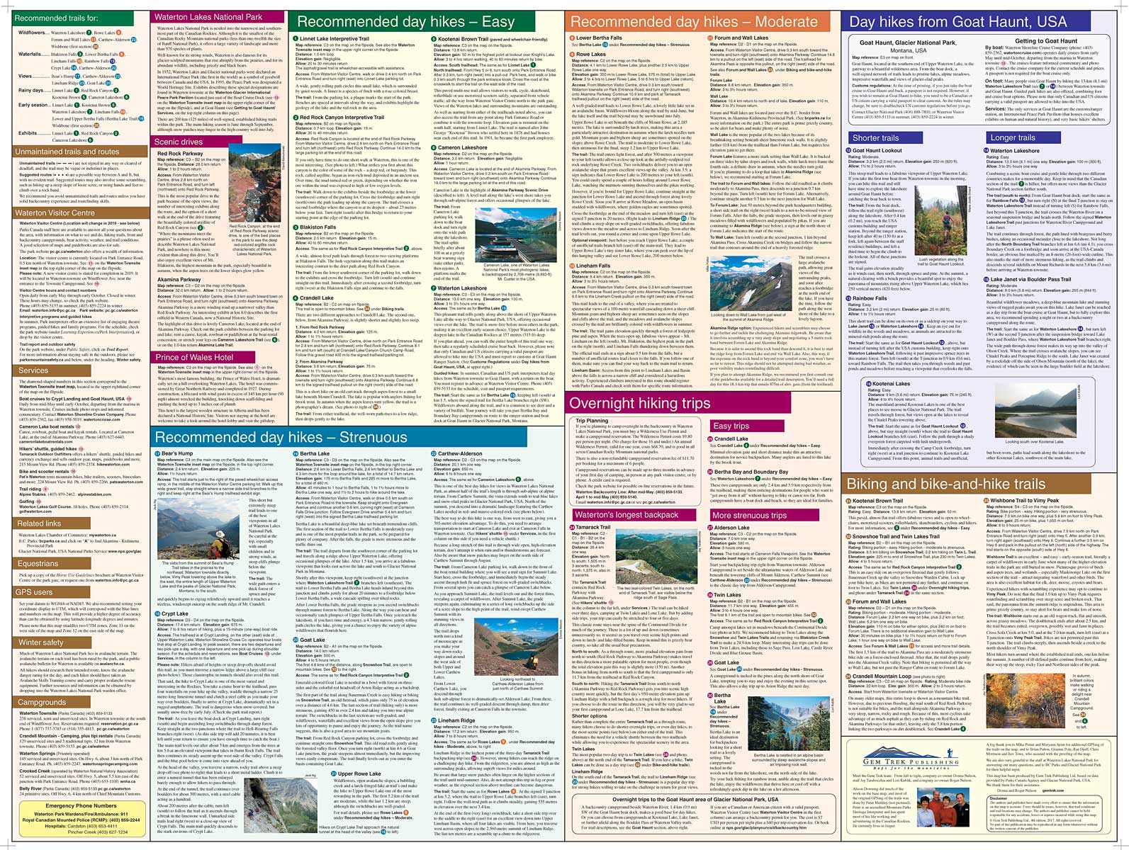
Topographic map of all Waterton Lakes National Park in Alberta published by Gem Trek. 100 m space curves, hiking trails with detailed explanations, mountain bike trails, elevations and durations, indication of campsites, hotels, outdoor activities and detailed legend included.
In addition to showing all the Waterton Lakes National Park on one side, this map covers the eastern part of the Akamina - Kishinena Provincial Park and the northern part of the Glacier National Park in Montana. Also included, a 1/35 000th plan of the Waterton Urban Area, with accommodation and services marked.
The most popular hiking trails on the Waterton Lakes National Park map include Carthew - Lakes Alderson, Crypt Lake, Goat Lake, Twin Lakes, Forum and Wall and Tamarack Road
ISBN/EAN : 9781990161056
Publication date: 2023
Scale: 1/50,000 (1cm=500m)
Printed sides: both sides
Folded dimensions: 25 x 11.8 x 0.5cm
Unfolded dimensions: 100 x 58cm
Language(s): English
Weight:
89 g
The exclusive newsletter for travel and discovery enthusiasts!


