Road atlas - Czech Republic & Slovak | Freytag & Berndt
- Shipping within 24 working hours from our warehouse in France
- Delivery costs calculated instantly in the basket
- Free returns (*)
- Real-time inventory
- In stock, ready to ship
Over 19,500 maps 🗺️ and travel guides, hiking maps, posters, globes, and decor in stock!
Over 19,500 maps 🗺️ and travel guides, hiking maps, posters, globes, and decor in stock!
MapsCompany becomes Cartovia ✨ We tell you everything here 🗺️
MapsCompany becomes Cartovia ✨ We tell you everything here 🗺️
Trusted by map lovers and explorers 🌏 in 80+ countries since 2010 ✅
Trusted by map lovers and explorers 🌏 in 80+ countries since 2010 ✅
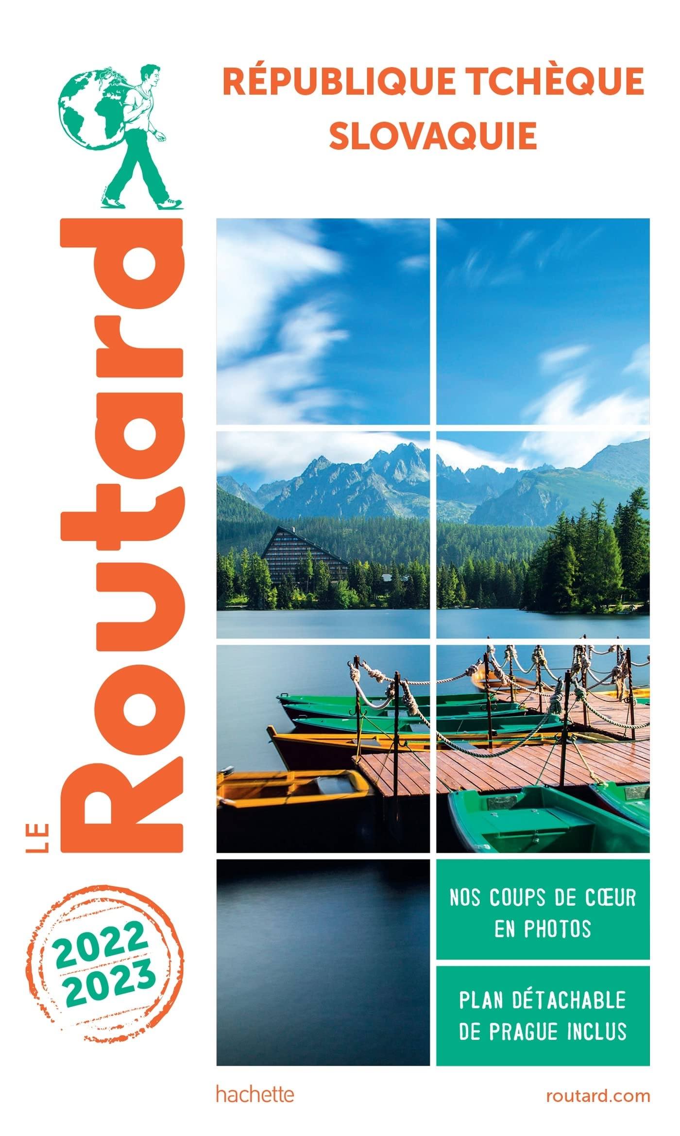
Atlas of the Czech and Slovak Republic (spiral) published by Freytag & Amp Berndt. This detailed atlas covers the entire Czech Republic and Slovakia. Indication of points of interest, national parks ...
Flexible mapboard cover.
Multilingual legend including French. Plans of cities included and index of postal codes. Scale 1 / 150,000 (1 cm = 1.5 km)
ISBN/EAN : 9783707921823
Publication date: 2022
Scale: 1/150,000 (1cm=1.5km)
Folded dimensions: 22x30cm
Language(s): French, English, German
Weight:
800 g
The exclusive newsletter for travel and discovery enthusiasts!


