Waterproof hiking map - Southern Drakensberg (South Africa) | Tracks4Africa
- Shipping within 24 working hours from our warehouse in France
- Shipping method and fees are shown at checkout
- Free returns (*)
- Real-time stock levels
- In stock, ready to ship
Over 19,500 maps 🗺️ and travel guides, hiking maps, posters, globes, and décor items in stock!
Over 19,500 maps 🗺️ and travel guides, hiking maps, posters, globes, and décor items in stock!
Rated Excellent ⭐️ on Trustpilot — 9,000+ reviews from explorers and map lovers worldwide.
Rated Excellent ⭐️ on Trustpilot — 9,000+ reviews from explorers and map lovers worldwide.
Explore the world, one map at a time 🗺️
Explore the world, one map at a time 🗺️
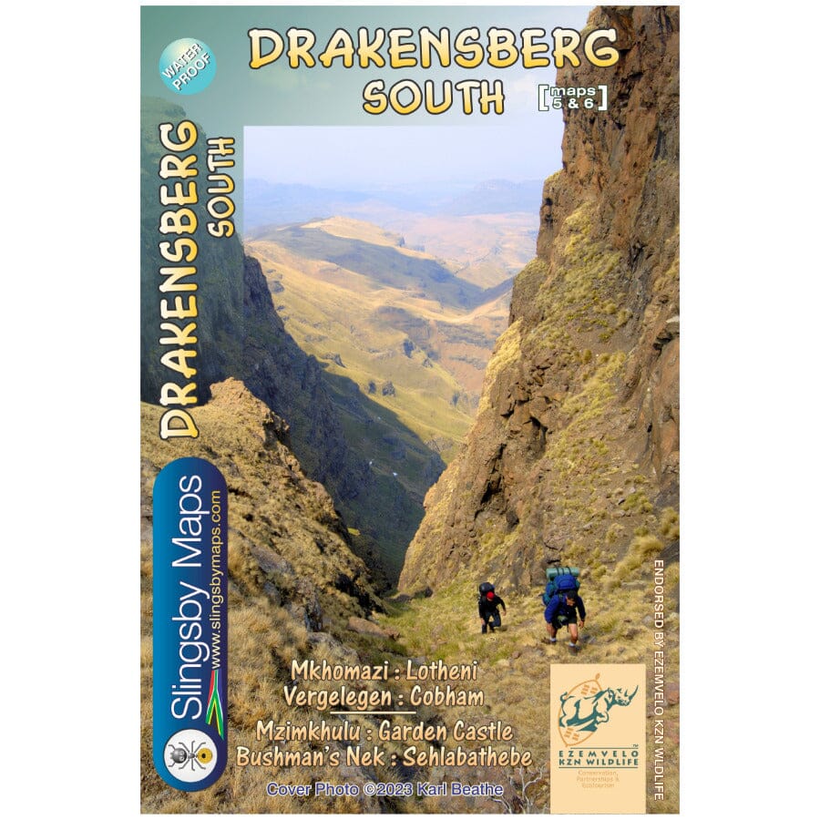
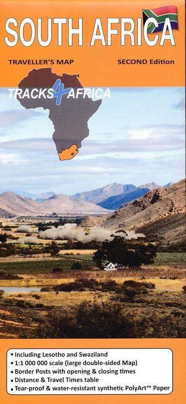
This double-sided map in A1 format covers the southern Drakensberg area. The first side covers the area from Lotheni southwards, through Vergelegen and the Mkhomazi Wilderness, to Sani Pass and Cobham. The second face continues south through the Mzimkhulu Wilderness to Garden Castle, and from there to Bushman's Nek and Sehlabathebe National Park. The map is printed on waterproof Duraflex media and comes in a plastic sleeve.
ISBN/EAN : 9781920377540
Publication date: 2023
Scale: 1/50,000 (1cm=500m)
Printed sides: both sides
Folded dimensions: 13 x 19cm
Language(s): English
Weight:
90 g
The exclusive newsletter for travel and discovery enthusiasts!
