Travel map - Newfoundland & Labrador | ITM
- Shipping within 24 working hours from our warehouse in France
- Shipping method and fees are shown at checkout
- Free returns (*)
- Real-time stock levels
- In stock, ready to ship
Over 19,500 maps 🗺️ and travel guides, hiking maps, posters, globes, and décor items in stock!
Over 19,500 maps 🗺️ and travel guides, hiking maps, posters, globes, and décor items in stock!
La Compagnie des Cartes devient Cartovia ✨ Notée Excellent ⭐️ sur Trustpilot (9 000+ avis).
MapsCompany becomes Cartovia ✨ Rated Excellent ⭐️ on Trustpilot (9,000+ reviews).
Livraison gratuite pour toute commande > 50 € (cartes pliées et guides, France métropolitaine)
Livraison gratuite pour toute commande > 50 € (cartes pliées et guides, France métropolitaine)
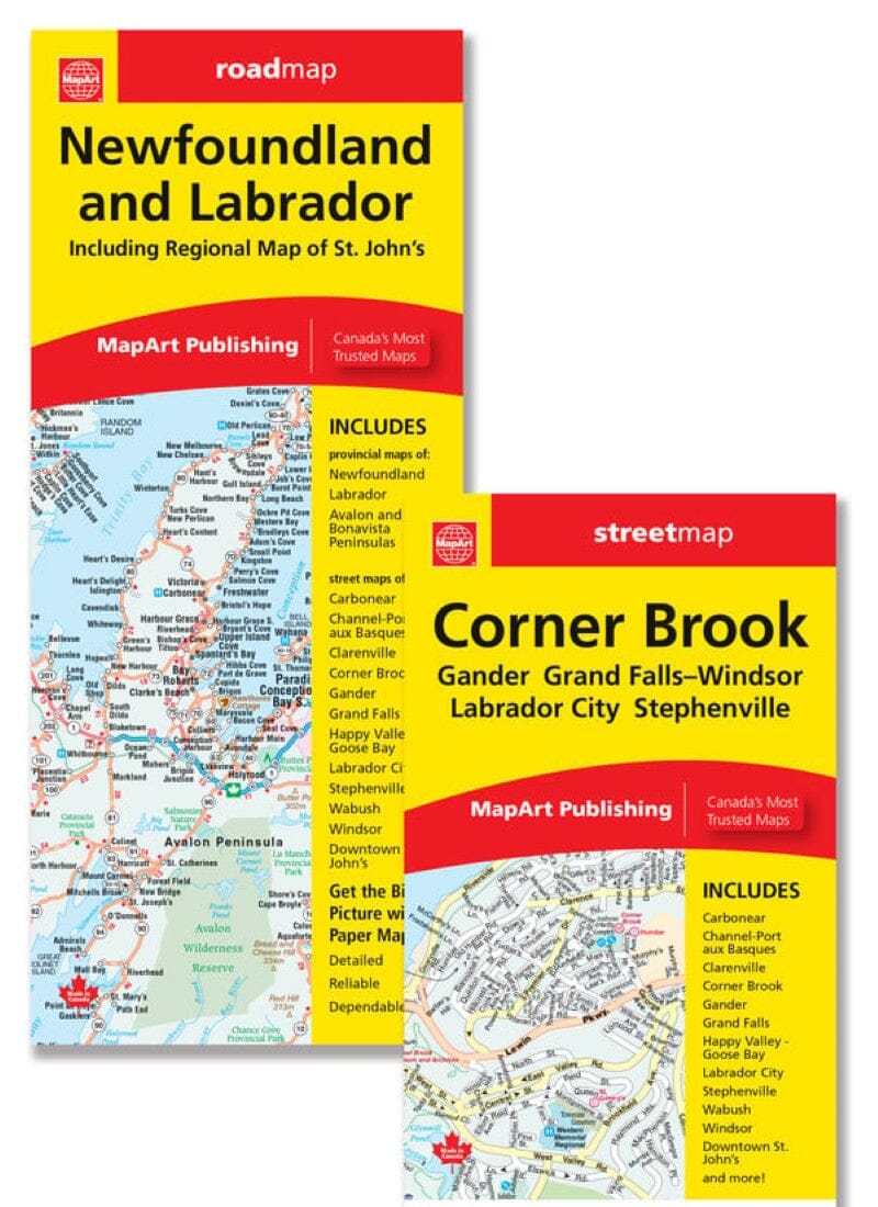
Detailed map of Newfoundland and Labrador (Canada) published by ITM which covers these two regions of northeastern Canada. Scale 1:800,000 (1 cm = 8 km) for Newfoundland and 1:1,300,000 for Labrador (1 cm = 13 km).
Detailed maps of Conception Bay South and St. John's included, as well as a town index.
ISBN/EAN : 9781771295833
Publication date: 2024
Scale: 1/800,000 (1 cm = 8 km) & 1/1,300,000 (1 cm = 13 km)
Printed sides: both sides
Folded dimensions: 24.6 x 10.3 x 0.5cm
Unfolded dimensions: 68x100cm
Language(s): English
Weight:
52 g
The exclusive newsletter for travel and discovery enthusiasts!


