Travel map - Canada East Coast | ITM
- Shipping within 24 working hours from our warehouse in France
- Shipping method and fees are shown at checkout
- Free returns (*)
- Real-time stock levels
- In stock, ready to ship
Over 19,500 maps 🗺️ and travel guides, hiking maps, posters, globes, and décor items in stock!
Over 19,500 maps 🗺️ and travel guides, hiking maps, posters, globes, and décor items in stock!
La Compagnie des Cartes devient Cartovia ✨ Notée Excellent ⭐️ sur Trustpilot (9 000+ avis).
MapsCompany becomes Cartovia ✨ Rated Excellent ⭐️ on Trustpilot (9,000+ reviews).
Livraison gratuite pour toute commande > 50 € (cartes pliées et guides, France métropolitaine)
Livraison gratuite pour toute commande > 50 € (cartes pliées et guides, France métropolitaine)
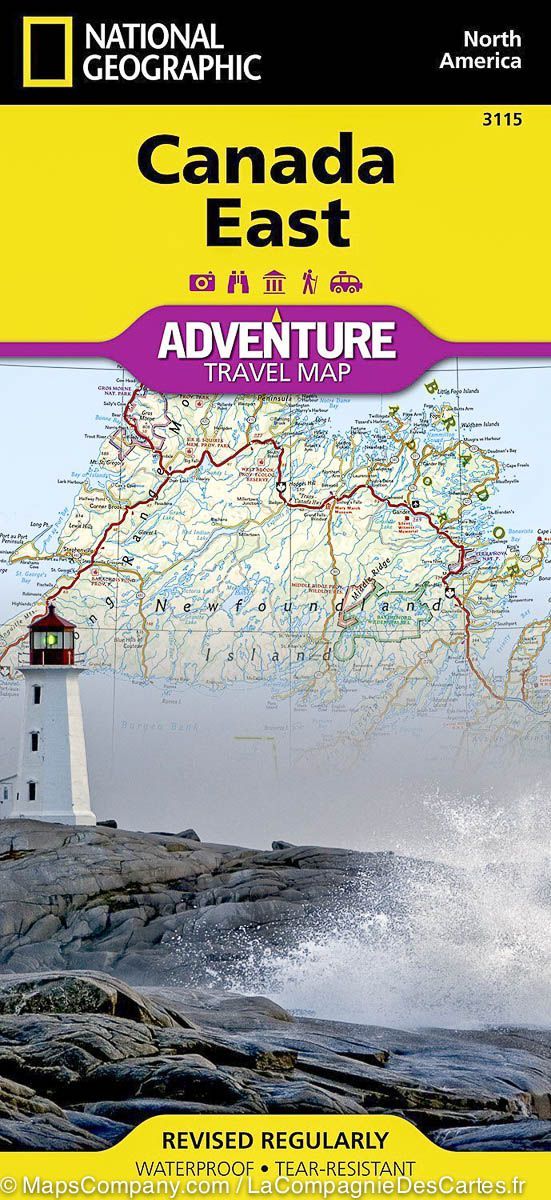
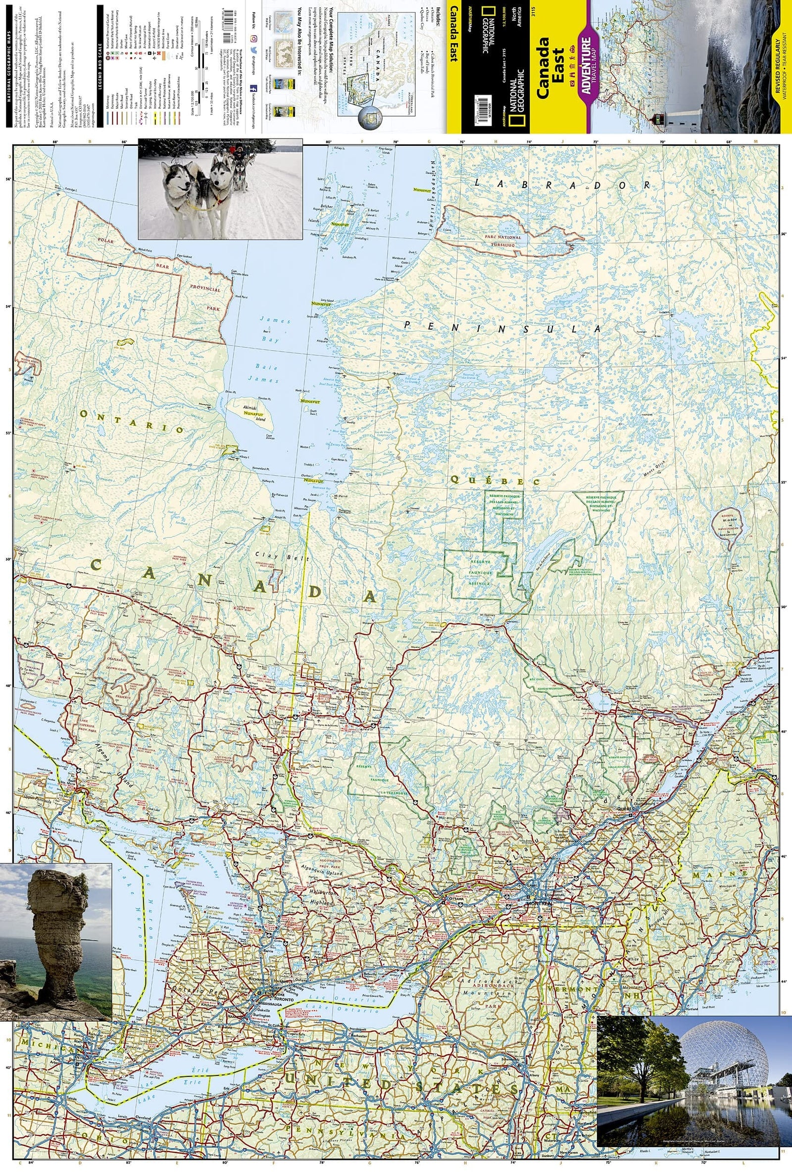
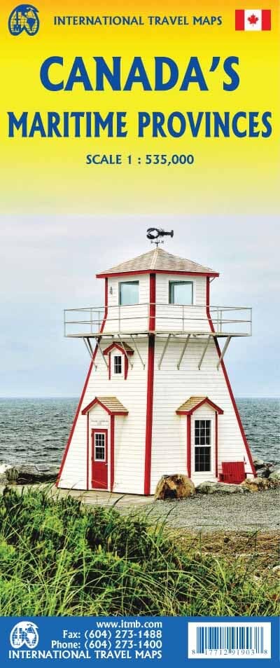
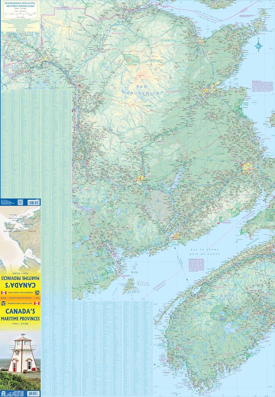
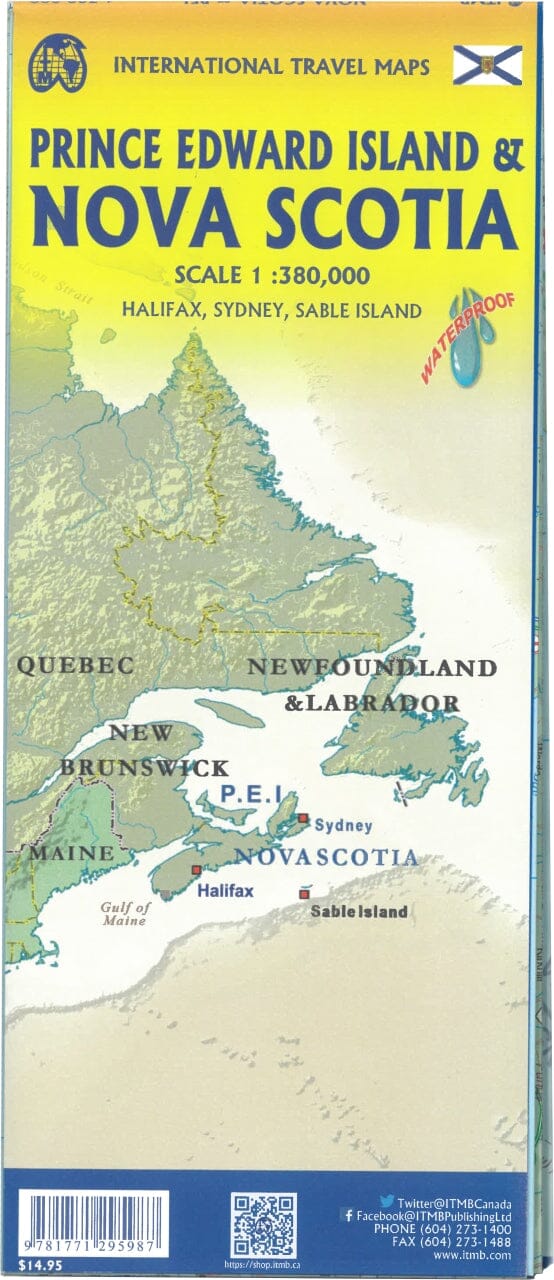
Map of the east coast of Canada published by ITM.
The front focuses on Newfoundland and Labrador, with a tiny bit of Nunuvut at the upper end of the Ungava Peninsula. An inset map of St. John's, capital of Newfoundland/Labrador, is included, as is the French overseas territory of Saint-Pierre and Miquelon. The new paved road through Labrador is the highlight of this side of the map.
The back of the map focuses on Nova Scotia/Cape Breton and parts of Prince Edward Island and New Brunswick, with a detailed inset of central Halifax.
The legend includes: tourist sites , airports, historic sites, railway stations, ski resorts, tourist information centers, hospitals, provincial parks.
ISBN/EAN : 9781771290326
Publication date: 2023
Scale: 1/535,000 (1 cm = 5.35 km) & 1/1.15M
Printed sides: both sides
Folded dimensions: 24.6 x 10.3 x 0.5cm
Unfolded dimensions: 100 x 69cm
Language(s): English
Weight:
50 g
The exclusive newsletter for travel and discovery enthusiasts!


