Travel map - Switzerland (waterproof) | ITM
- Shipping within 24 working hours from our warehouse in France
- Shipping method and fees are shown at checkout
- Free returns (*)
- Real-time stock levels
- In stock, ready to ship
Over 19,500 maps 🗺️ and travel guides, hiking maps, posters, globes, and décor items in stock!
Over 19,500 maps 🗺️ and travel guides, hiking maps, posters, globes, and décor items in stock!
Rated Excellent ⭐️ on Trustpilot — 9,000+ reviews from explorers and map lovers worldwide.
Rated Excellent ⭐️ on Trustpilot — 9,000+ reviews from explorers and map lovers worldwide.
Explore the world, one map at a time 🗺️
Explore the world, one map at a time 🗺️
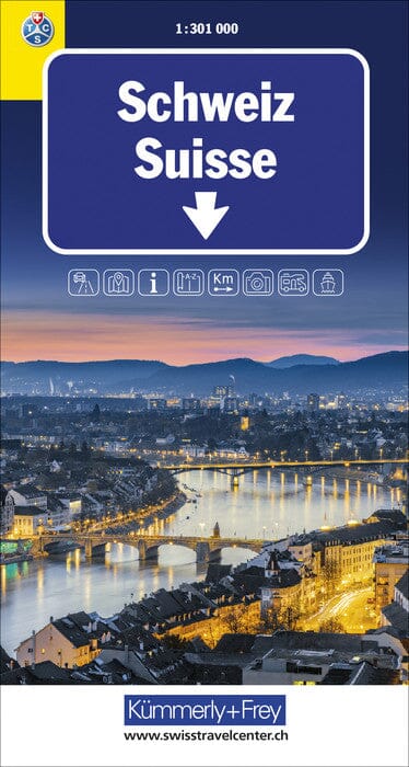
Waterproof road map of Switzerland published by ITM.
Covers the region from the French border to Lucerne
Includes the famous Matterhorn , a global alpine icon
Illustrated list of the main tourist attractions
Ideal map for planning a route in the Geneva, Lausanne, Bern and Vaud Alps region
Covers the area from Lake Constance (Bodensee) in the north to Lugano in the south
Emphasize the Swiss rail network , which is well-suited to eco-friendly and scenic tourism.
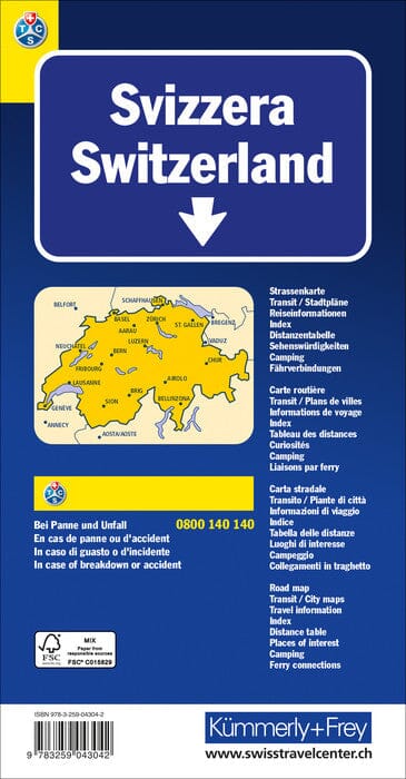
Detailed map of the road and motorway network
City maps included for Zurich and Geneva
Classifications of roads and highways
Rivers and lakes
National Parks
Airports
Tourist attractions
Fishing spots , zoos , major cities , and much more
ISBN/EAN : 9781771297424
Publication date: 2025
Scale: 1/301,000 (1 cm = 3 km)
Printed sides: both sides
Folded dimensions: 10 x 25 x 0.5 cm
Unfolded dimensions: 100 x 68cm
Language(s): English
Weight:
109 g
The exclusive newsletter for travel and discovery enthusiasts!


