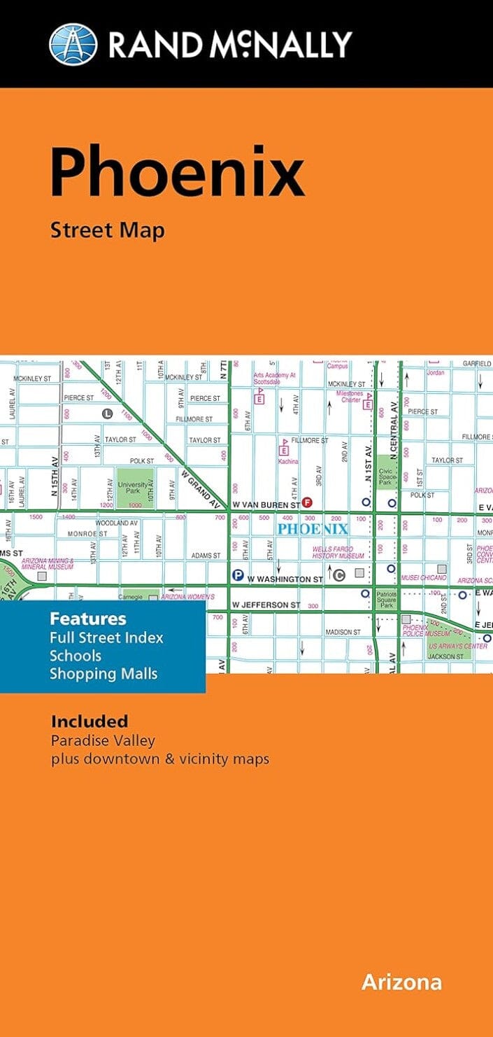
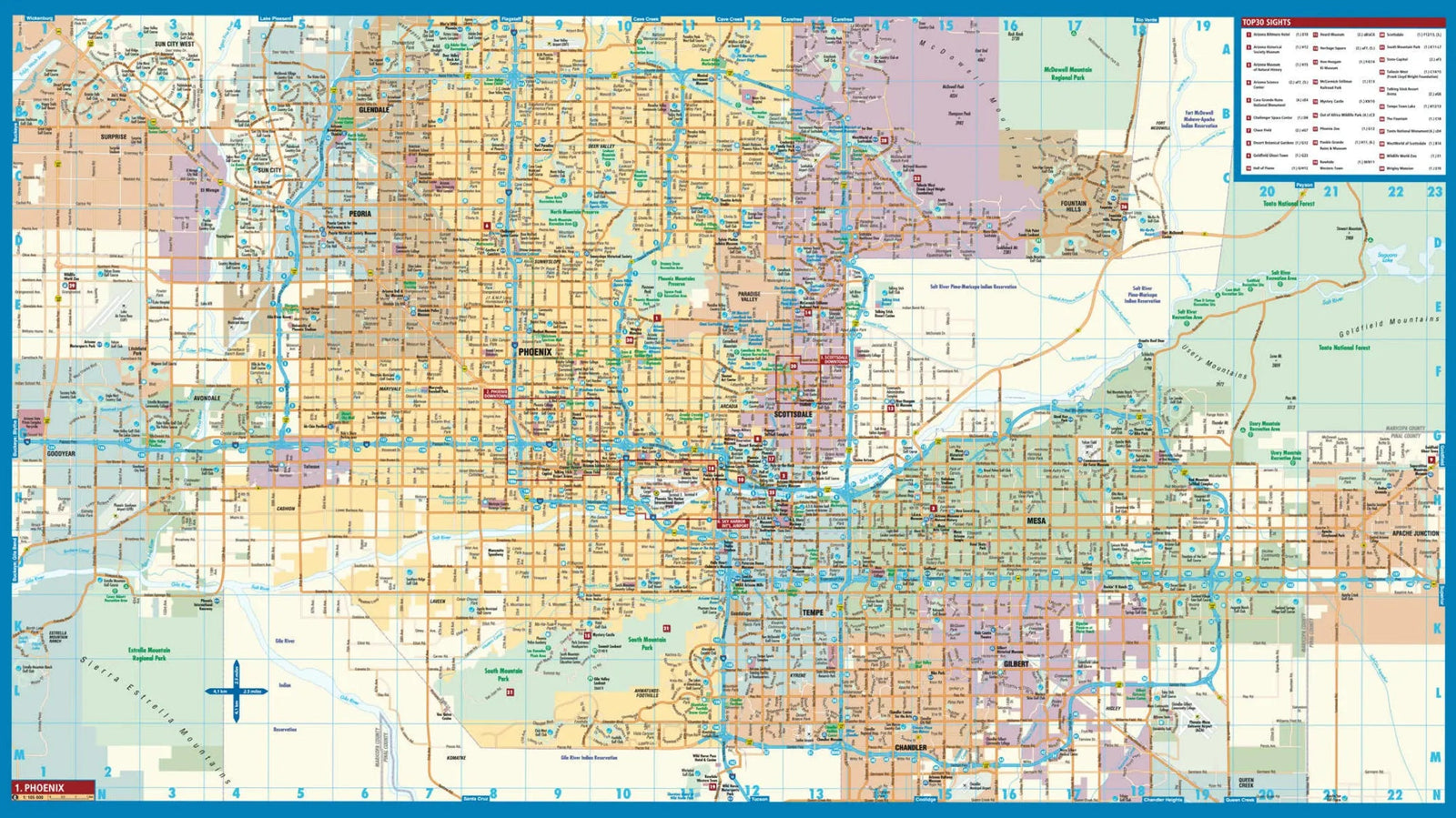
Rand McNally's folded map of Phoenix is a must-have for anyone traveling in and around this part of Arizona, offering unbeatable accuracy and reliability at a great price. It displays all interstate, U.S., state, and county highways, as well as clearly marked parks, points of interest, airports, county lines, and streets. The easy-to-use legend and detailed index allow for quick and easy destination location.
Regularly updated
Full-color maps
Clearly labeled interstate, U.S., state, and county highways
Indicated parks, points of interest, airports, county lines, schools, shopping centers, and maps of downtown and surrounding areas
Easy-to-use legend
Detailed index and comprehensive street index
Convenient folded size
ISBN/EAN : 9780528025228
Publication date: 2021
Folded dimensions: 9.06 inches x 4.330 inches (23 x 11 cm)
Unfolded dimensions: 38.58 inches x 26.77 inches (98 x 68 cm)
Language(s): English
Weight:
60 g
